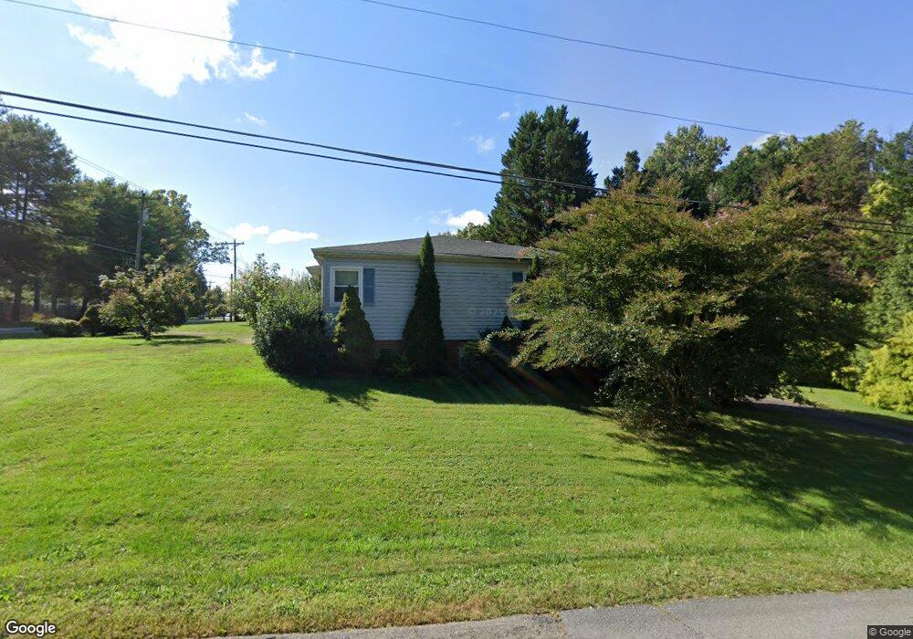
1490 Forrest Dr Mount Airy, NC 27030
Estimated Value: $200,000 - $240,000
3
Beds
1
Bath
1,513
Sq Ft
$146/Sq Ft
Est. Value
About This Home
This home is located at 1490 Forrest Dr, Mount Airy, NC 27030 and is currently estimated at $221,425, approximately $146 per square foot. 1490 Forrest Dr is a home located in Surry County with nearby schools including Franklin Elementary School, Meadowview Magnet Middle School, and North Surry High School.
Ownership History
Date
Name
Owned For
Owner Type
Purchase Details
Closed on
May 29, 2008
Sold by
Davis Morris Graham and Davis Anthony
Bought by
Mitchell James M and Mitchell Edith F
Current Estimated Value
Home Financials for this Owner
Home Financials are based on the most recent Mortgage that was taken out on this home.
Original Mortgage
$104,500
Outstanding Balance
$66,110
Interest Rate
5.86%
Mortgage Type
New Conventional
Estimated Equity
$155,315
Purchase Details
Closed on
Jun 1, 1953
Create a Home Valuation Report for This Property
The Home Valuation Report is an in-depth analysis detailing your home's value as well as a comparison with similar homes in the area
Purchase History
| Date | Buyer | Sale Price | Title Company |
|---|---|---|---|
| Mitchell James M | $110,000 | None Available | |
| -- | -- | -- |
Source: Public Records
Mortgage History
| Date | Status | Borrower | Loan Amount |
|---|---|---|---|
| Open | Mitchell James M | $104,500 |
Source: Public Records
Tax History
| Year | Tax Paid | Tax Assessment Tax Assessment Total Assessment is a certain percentage of the fair market value that is determined by local assessors to be the total taxable value of land and additions on the property. | Land | Improvement |
|---|---|---|---|---|
| 2025 | $454 | $153,940 | $13,000 | $140,940 |
| 2024 | $369 | $115,590 | $13,000 | $102,590 |
| 2023 | $363 | $115,590 | $13,000 | $102,590 |
| 2022 | $363 | $115,590 | $13,000 | $102,590 |
| 2021 | $369 | $115,590 | $13,000 | $102,590 |
| 2020 | $670 | $107,450 | $13,000 | $94,450 |
| 2019 | $667 | $107,450 | $13,000 | $94,450 |
| 2018 | $655 | $107,450 | $0 | $0 |
| 2017 | $664 | $107,450 | $0 | $0 |
| 2016 | $664 | $107,450 | $0 | $0 |
| 2013 | -- | $107,450 | $0 | $0 |
Source: Public Records
Map
Nearby Homes
- 130 Williamson Ave
- 125 Greystone Ln
- 149 Greystone Ln
- 113 Forest View Dr
- 000 Caudle Dr
- 0 Caudle Dr
- 00 Caudle Dr
- 264 Airview Dr
- 0000 Lynnhaven Rd
- 711 S South St
- 212 Bluemont Rd
- 2-5 Old U S 601
- 722 Maiden Ln
- 2098 Park Dr
- 315 Herring St
- 155 Calvary Dr
- 130 Greenway Dr
- 455 Franklin St
- 1023 Spring St
- 302 Spring St
- 1498 Forrest Dr
- 125 Williamson Ave
- 1506 Forrest Dr
- 1514 Forrest Dr
- 1515 Forrest Dr
- 147 Williamson Ave
- 1524 Forrest Dr
- 140 Williamson Ave
- 1028 S Franklin Rd
- 1534 Forrest Dr
- 150 Williamson Ave
- 157 Williamson Ave
- 1533 Forrest Dr
- 1527 Forrest Dr
- 127 Glenn Ct
- 160 Williamson Ave
- TBD Williamson Ave
- 1542 Forrest Dr
- 124 Pineview Dr
- 1543 Forrest Dr
Your Personal Tour Guide
Ask me questions while you tour the home.