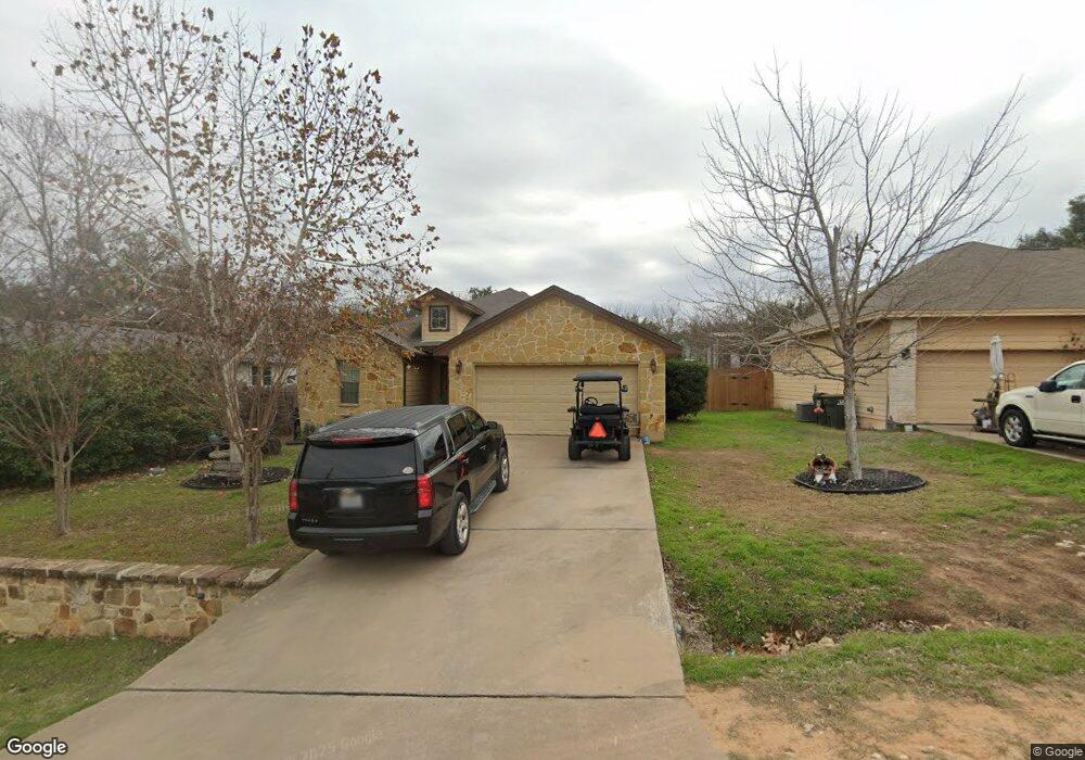
14906 Longbranch Dr Austin, TX 78734
Apache Shores NeighborhoodEstimated Value: $409,350 - $500,000
3
Beds
2
Baths
1,386
Sq Ft
$330/Sq Ft
Est. Value
About This Home
This home is located at 14906 Longbranch Dr, Austin, TX 78734 and is currently estimated at $456,838, approximately $329 per square foot. 14906 Longbranch Dr is a home located in Travis County with nearby schools including Lake Travis Elementary School, Hudson Bend Middle School, and Lake Travis High School.
Ownership History
Date
Name
Owned For
Owner Type
Purchase Details
Closed on
Jun 11, 2009
Sold by
Broussard William Joseph
Bought by
Abraham Kiel
Current Estimated Value
Home Financials for this Owner
Home Financials are based on the most recent Mortgage that was taken out on this home.
Original Mortgage
$171,338
Outstanding Balance
$107,844
Interest Rate
4.7%
Mortgage Type
Purchase Money Mortgage
Estimated Equity
$348,994
Purchase Details
Closed on
Feb 28, 2007
Sold by
Emberton Paul and Emberton Vivian J
Bought by
Broussard William Joseph
Home Financials for this Owner
Home Financials are based on the most recent Mortgage that was taken out on this home.
Original Mortgage
$176,500
Interest Rate
6.21%
Mortgage Type
Purchase Money Mortgage
Purchase Details
Closed on
Jul 21, 2006
Sold by
Killinger Nora and Killinger Gary
Bought by
Emberton Paul and Emberton Vivian J
Home Financials for this Owner
Home Financials are based on the most recent Mortgage that was taken out on this home.
Original Mortgage
$140,000
Interest Rate
6.62%
Mortgage Type
Purchase Money Mortgage
Purchase Details
Closed on
Mar 8, 2006
Sold by
Canyon Creek Homes Lp
Bought by
Killinger Nora
Create a Home Valuation Report for This Property
The Home Valuation Report is an in-depth analysis detailing your home's value as well as a comparison with similar homes in the area
Home Values in the Area
Average Home Value in this Area
Purchase History
| Date | Buyer | Sale Price | Title Company |
|---|---|---|---|
| Abraham Kiel | -- | Multiple | |
| Broussard William Joseph | -- | Fidelity National Title | |
| Emberton Paul | -- | Gracy Title Company | |
| Killinger Nora | -- | Gracy Title Company | |
| Canyon Creek Homes Lp | -- | Gracy Title Company |
Source: Public Records
Mortgage History
| Date | Status | Borrower | Loan Amount |
|---|---|---|---|
| Open | Abraham Kiel | $171,338 | |
| Previous Owner | Broussard William Joseph | $176,500 | |
| Previous Owner | Emberton Paul | $140,000 |
Source: Public Records
Tax History Compared to Growth
Tax History
| Year | Tax Paid | Tax Assessment Tax Assessment Total Assessment is a certain percentage of the fair market value that is determined by local assessors to be the total taxable value of land and additions on the property. | Land | Improvement |
|---|---|---|---|---|
| 2025 | $4,386 | $412,830 | $155,276 | $257,554 |
| 2023 | $3,748 | $380,666 | $0 | $0 |
| 2022 | $5,937 | $346,060 | $0 | $0 |
| 2021 | $5,661 | $314,600 | $50,000 | $264,600 |
| 2020 | $5,620 | $293,900 | $30,000 | $263,900 |
| 2018 | $5,436 | $274,025 | $30,000 | $260,525 |
| 2017 | $4,987 | $249,114 | $30,000 | $223,033 |
| 2016 | $4,534 | $226,467 | $30,000 | $197,045 |
| 2015 | $3,018 | $205,879 | $52,500 | $153,379 |
| 2014 | $3,018 | $207,072 | $0 | $0 |
Source: Public Records
Map
Nearby Homes
- 14911 Longbranch Dr
- 1401 Sharps Rd
- 1400 Shawnee Cir
- 14705 Debba Dr
- 14603 Debba Dr
- 1 Red Fox Rd
- 15101 Foy Dr
- 1505 Lance Rd
- 14406 Tucumcari Trail
- 1809 Westward ho Trail
- 1809 Barney Dr
- 14606 Branding Iron Pass
- 1608 Susan Dr
- 1201 Socorro Dr
- 2012 Indian Creek Rd
- 14422 Tuscola Cir
- 15202 Cavalier Canyon Dr
- 2108 Indian Creek Rd
- 15101 Dexler Dr
- 14208 Fort Smith Trail
- 14904 Longbranch Dr
- 14813 Debba Dr
- Lot 32 Debba Dr
- 14902 Longbranch Dr
- 14809 Debba Dr
- 14909 Longbranch Dr
- 14808 Longbranch Dr
- 14900 Longbranch Dr
- 14913 Longbranch Dr
- 14908 Longbranch Dr
- 14807 Debba Dr
- 14806 Longbranch Dr
- 14810 Debba Dr
- 14905 Longbranch Dr
- 14804 Longbranch Dr
- 14805 Debba Dr
- 14955 Running Deer Trail
- 1211 Sharps Rd
- 1209 Sharps Rd
- 1213 Sharps Rd