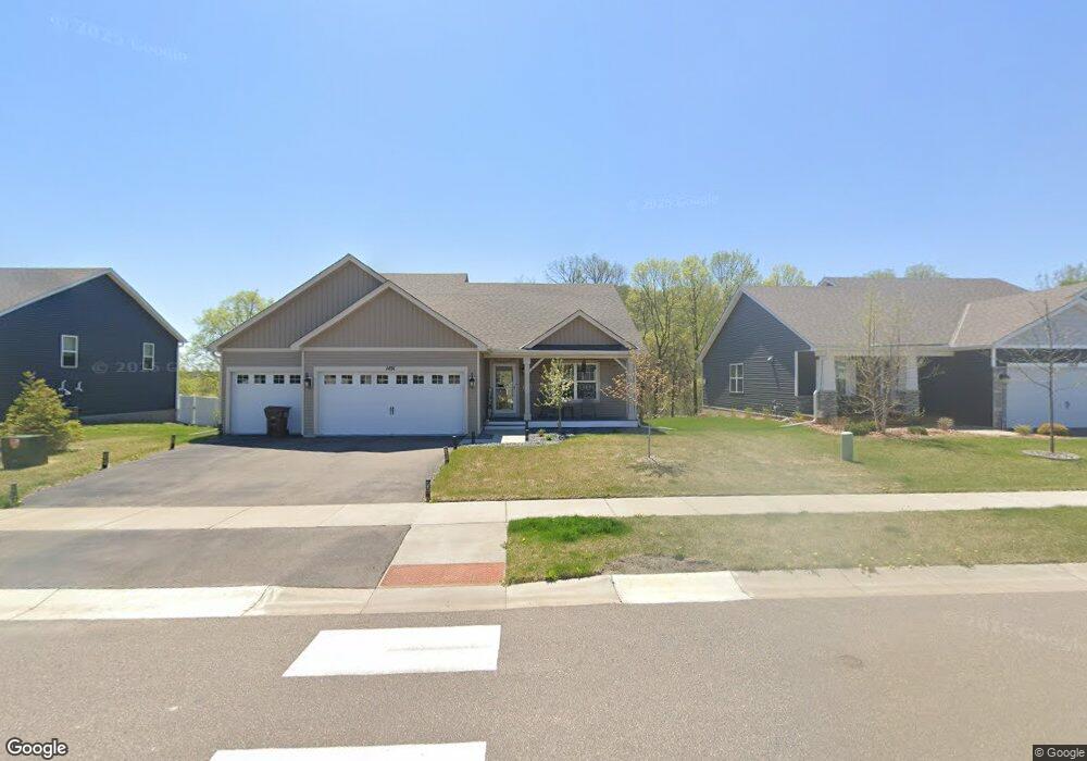
1491 Independence Curve Delano, MN 55328
Estimated Value: $439,046 - $477,000
4
Beds
4
Baths
1,851
Sq Ft
$245/Sq Ft
Est. Value
About This Home
This home is located at 1491 Independence Curve, Delano, MN 55328 and is currently estimated at $454,012, approximately $245 per square foot. 1491 Independence Curve is a home located in Wright County with nearby schools including Delano Elementary School, Delano Middle School, and Delano Senior High School.
Ownership History
Date
Name
Owned For
Owner Type
Purchase Details
Closed on
Oct 28, 2021
Sold by
D R Horton Inc
Bought by
Rana Dhavalkumar A and Rana Anjali R
Current Estimated Value
Home Financials for this Owner
Home Financials are based on the most recent Mortgage that was taken out on this home.
Original Mortgage
$300,944
Outstanding Balance
$232,801
Interest Rate
2.1%
Mortgage Type
New Conventional
Estimated Equity
$221,211
Purchase Details
Closed on
Dec 5, 2019
Sold by
Delano Land Development Llc
Bought by
D R Horton Inc
Create a Home Valuation Report for This Property
The Home Valuation Report is an in-depth analysis detailing your home's value as well as a comparison with similar homes in the area
Home Values in the Area
Average Home Value in this Area
Purchase History
| Date | Buyer | Sale Price | Title Company |
|---|---|---|---|
| Rana Dhavalkumar A | $376,178 | Dhi Title Agency | |
| D R Horton Inc | $44,848 | Title Recording Services Inc |
Source: Public Records
Mortgage History
| Date | Status | Borrower | Loan Amount |
|---|---|---|---|
| Open | Rana Dhavalkumar A | $300,944 |
Source: Public Records
Tax History Compared to Growth
Tax History
| Year | Tax Paid | Tax Assessment Tax Assessment Total Assessment is a certain percentage of the fair market value that is determined by local assessors to be the total taxable value of land and additions on the property. | Land | Improvement |
|---|---|---|---|---|
| 2025 | $5,014 | $430,700 | $75,000 | $355,700 |
| 2024 | $4,894 | $421,700 | $79,000 | $342,700 |
| 2023 | $4,610 | $422,100 | $79,000 | $343,100 |
| 2022 | $612 | $367,400 | $78,500 | $288,900 |
| 2021 | $288 | $65,000 | $65,000 | $0 |
| 2020 | $96 | $65,000 | $65,000 | $0 |
Source: Public Records
Map
Nearby Homes
- 386 Greenway Dr
- 271 Greenway Dr
- 1006 2nd St SW
- 924 Yellowcrest St SW
- 775 Rosebud Ln
- 877 Yellowcrest St SW
- 900 Greywood Blvd SW
- 747 Blackbird Cir
- 736 Blackbird Cir
- 787 Yellowcrest St SW
- 761 Yellowcrest St SW
- 711 Rosebud Ln
- 876 Greywood Blvd SW
- 869 Greywood Blvd SW
- 978 Big Woods Dr
- The Somerset Plan at Greywood
- The Crestview Plan at Greywood
- The Augusta Villa Plan at Greywood
- The Sedona Plan at Greywood
- The Washington Plan at Greywood
- 1485 Independence Curve
- 1501 Freedom Ln
- 1479 Independence Curve
- 1509 Freedom Ln
- 1488 Independence Curve
- 1473 Independence Curve
- 1504 Freedom Ln
- 1476 Independence Curve
- 1517 Freedom Ln
- 1516 Freedom Ln
- 1467 Independence Curve
- 1468 Independence Curve
- 1525 Freedom Ln
- 1432 Liberty Ln
- 1429 Liberty Ln
- 1528 Freedom Ln
- 1460 Independence Curve
- 1461 Independence Curve
- 1533 Freedom Ln
- 1426 Liberty Ln