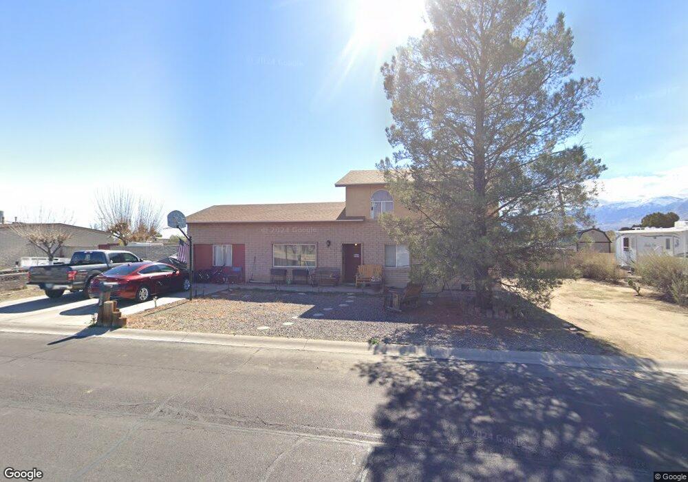
1491 W 25th St Safford, AZ 85546
Estimated Value: $364,343 - $428,000
--
Bed
--
Bath
2,875
Sq Ft
$141/Sq Ft
Est. Value
About This Home
This home is located at 1491 W 25th St, Safford, AZ 85546 and is currently estimated at $405,336, approximately $140 per square foot. 1491 W 25th St is a home located in Graham County with nearby schools including Dorothy Stinson School, Ruth Powell Elementary School, and Lafe Nelson School.
Ownership History
Date
Name
Owned For
Owner Type
Purchase Details
Closed on
Jul 6, 2016
Sold by
Palmer Rohert Halroy
Bought by
Palmer Toni L
Current Estimated Value
Purchase Details
Closed on
Mar 13, 2006
Sold by
Lutz Toni L
Bought by
Lutz Toni L and Lutz James Earl
Create a Home Valuation Report for This Property
The Home Valuation Report is an in-depth analysis detailing your home's value as well as a comparison with similar homes in the area
Home Values in the Area
Average Home Value in this Area
Purchase History
| Date | Buyer | Sale Price | Title Company |
|---|---|---|---|
| Palmer Toni L | -- | None Available | |
| Palmer Toni L | -- | None Available | |
| Lutz Toni L | -- | Safford Title Agency |
Source: Public Records
Tax History Compared to Growth
Tax History
| Year | Tax Paid | Tax Assessment Tax Assessment Total Assessment is a certain percentage of the fair market value that is determined by local assessors to be the total taxable value of land and additions on the property. | Land | Improvement |
|---|---|---|---|---|
| 2026 | $1,375 | -- | -- | -- |
| 2025 | $1,375 | $26,561 | $1,645 | $24,916 |
| 2024 | $1,429 | $24,860 | $1,645 | $23,215 |
| 2023 | $1,429 | $19,592 | $1,656 | $17,936 |
| 2022 | $1,403 | $17,447 | $1,656 | $15,791 |
| 2021 | $1,565 | $0 | $0 | $0 |
| 2020 | $1,505 | $0 | $0 | $0 |
| 2019 | $1,584 | $0 | $0 | $0 |
| 2018 | $1,507 | $0 | $0 | $0 |
| 2017 | $1,351 | $0 | $0 | $0 |
| 2016 | $1,241 | $0 | $0 | $0 |
| 2015 | $1,132 | $0 | $0 | $0 |
Source: Public Records
Map
Nearby Homes
- 1405 W 24th St
- 1318 W 26th St
- 1017 W Tucson St
- 1879 W Peppertree Dr Unit B2
- 1879 W Peppertree Dr Unit A02
- 1879 W Peppertree Dr Unit A10
- 1879 W Peppertree Dr Unit A01
- 0 Star Fire Cir Unit 1719796
- 0 Star Fire Cir Unit 4 22415917
- 0 Star Fire Cir Unit 1719797
- 2555 S 8th Ave
- 8th and Discovery --
- 1808 Mesa Cir
- 832 W Stirrup Dr
- 1906 S Elm Ave
- 0 S 20th Ave Unit no 22325261
- 1536 W Cherokee Ln
- 2422 S 1st Ave
- 1115 W Relation St
- 5052 S 20th Ave Unit 141
- 1505 W 25th St
- 1504 W 25th St
- 1504 W 25th St
- 1490 W 25th St
- 1467 W 25th St
- 1533 W 25th St
- 1532 W 25th St
- 1466 W 25th St
- 1433 W 25th St
- 1432 W 25th St
- 1557 W 25th St
- 1556 W 25th St
- 1575 W 25th St
- 1574 W 25th St
- 1406 W 25th St
- 1404 W 25th St
- 1593 W 25th St Unit 54
- 1604 W 25th St
- 0 W 26th St Unit 1714472
- 0 W 26th St Unit 1714471