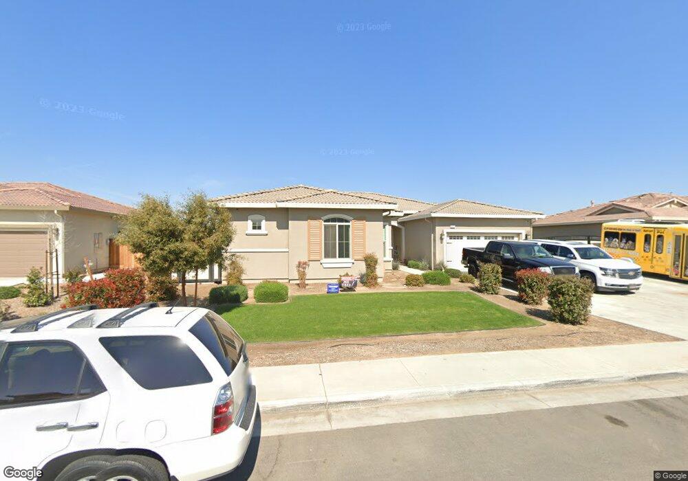
14910 Brockbank Ave Bakersfield, CA 93314
Estimated Value: $575,136 - $660,000
3
Beds
3
Baths
2,864
Sq Ft
$218/Sq Ft
Est. Value
About This Home
This home is located at 14910 Brockbank Ave, Bakersfield, CA 93314 and is currently estimated at $625,534, approximately $218 per square foot. 14910 Brockbank Ave is a home with nearby schools including Del Rio Elementary School, Rosedale Middle School, and Liberty High School.
Ownership History
Date
Name
Owned For
Owner Type
Purchase Details
Closed on
Aug 28, 2018
Sold by
Woodside 06N Lp
Bought by
Brown Aaron David
Current Estimated Value
Home Financials for this Owner
Home Financials are based on the most recent Mortgage that was taken out on this home.
Original Mortgage
$415,126
Outstanding Balance
$361,269
Interest Rate
4.5%
Mortgage Type
VA
Estimated Equity
$264,265
Create a Home Valuation Report for This Property
The Home Valuation Report is an in-depth analysis detailing your home's value as well as a comparison with similar homes in the area
Home Values in the Area
Average Home Value in this Area
Purchase History
| Date | Buyer | Sale Price | Title Company |
|---|---|---|---|
| Brown Aaron David | $406,500 | Placer Title Auburn Spl |
Source: Public Records
Mortgage History
| Date | Status | Borrower | Loan Amount |
|---|---|---|---|
| Open | Brown Aaron David | $415,126 |
Source: Public Records
Tax History Compared to Growth
Tax History
| Year | Tax Paid | Tax Assessment Tax Assessment Total Assessment is a certain percentage of the fair market value that is determined by local assessors to be the total taxable value of land and additions on the property. | Land | Improvement |
|---|---|---|---|---|
| 2025 | $6,614 | $452,897 | $111,550 | $341,347 |
| 2024 | $6,468 | $444,017 | $109,363 | $334,654 |
| 2023 | $6,468 | $435,312 | $107,219 | $328,093 |
| 2022 | $6,351 | $426,777 | $105,117 | $321,660 |
| 2021 | $6,178 | $418,409 | $103,056 | $315,353 |
| 2020 | $6,097 | $414,120 | $102,000 | $312,120 |
| 2019 | $6,194 | $414,120 | $102,000 | $312,120 |
| 2018 | $584 | $37,793 | $37,793 | $0 |
| 2017 | $580 | $37,052 | $37,052 | $0 |
Source: Public Records
Map
Nearby Homes
- 317 White Alder Dr
- 826 Jacob Creek Dr
- 15112 Northampton Ave
- 219 White Alder Dr
- 308 White Alder Dr
- 509 Jewel Flower St
- 14607 Checkerbloom Dr
- 14601 Beach Aster Dr
- 15209 Aldridge Ave
- 14716 Lemon Lily Dr
- 14603 Yellow Lupine Dr
- 14708 Lemon Lily Dr
- 418 Spirea St Unit 1
- 14710 Huckleberry Dr
- 15 Claudia Autumn Dr
- 15414 Donostia St
- 18 Claudia Autumn Dr
- 15628 Renteria Dr
- 14616 Tralee Dr
- 14308 San Jose Ave
- 15000 Brockbank Ave
- 14902 Brockbank Ave
- 603 Jacob Creek Dr
- 15001 Brockbank Ave
- 14903 Brockbank Ave
- 14909 Brockbank Ave
- 527 Ambleside Ct
- 517 Jacob Creek Dr
- 15007 Brockbank Ave
- 512 Ambleside Ct
- 15014 Brockbank Ave
- 515 Ambleside Ct
- 618 Jacob Creek Dr
- 602 Jacob Creek Dr
- 509 Jacob Creek Dr
- 15011 Brockbank Ave
- 700 Jacob Creek Dr
- 516 Jacob Creek Dr
- 15002 Hannah Lyn Ave
- 14908 Hannah Lyn Ave