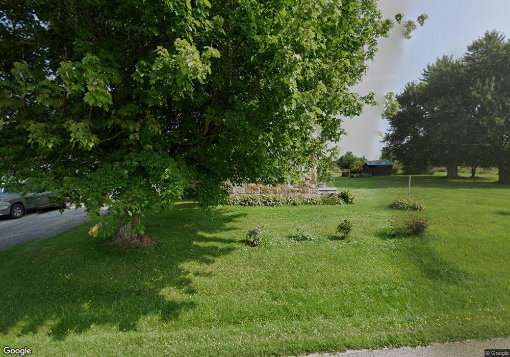
14910 Brown Hill Rd Meadville, PA 16335
Estimated Value: $133,959 - $210,000
--
Bed
--
Bath
--
Sq Ft
1.72
Acres
About This Home
This home is located at 14910 Brown Hill Rd, Meadville, PA 16335 and is currently estimated at $163,740. 14910 Brown Hill Rd is a home with nearby schools including West End Elementary School, Meadville Middle School, and Meadville Area Senior High School.
Ownership History
Date
Name
Owned For
Owner Type
Purchase Details
Closed on
Jul 6, 2015
Sold by
The William J & Marian C Ulbrich Revocab
Bought by
Byers Shaun L and Byers Robert M
Current Estimated Value
Home Financials for this Owner
Home Financials are based on the most recent Mortgage that was taken out on this home.
Original Mortgage
$75,050
Outstanding Balance
$58,560
Interest Rate
3.88%
Mortgage Type
New Conventional
Estimated Equity
$105,180
Create a Home Valuation Report for This Property
The Home Valuation Report is an in-depth analysis detailing your home's value as well as a comparison with similar homes in the area
Home Values in the Area
Average Home Value in this Area
Purchase History
| Date | Buyer | Sale Price | Title Company |
|---|---|---|---|
| Byers Shaun L | $79,000 | None Available |
Source: Public Records
Mortgage History
| Date | Status | Borrower | Loan Amount |
|---|---|---|---|
| Open | Byers Shaun L | $75,050 |
Source: Public Records
Tax History Compared to Growth
Tax History
| Year | Tax Paid | Tax Assessment Tax Assessment Total Assessment is a certain percentage of the fair market value that is determined by local assessors to be the total taxable value of land and additions on the property. | Land | Improvement |
|---|---|---|---|---|
| 2025 | $717 | $30,079 | $1,729 | $28,350 |
| 2024 | $1,108 | $30,079 | $1,729 | $28,350 |
| 2023 | $1,108 | $30,079 | $1,729 | $28,350 |
| 2022 | $2,356 | $30,079 | $1,729 | $28,350 |
| 2021 | $2,300 | $30,079 | $1,729 | $28,350 |
| 2020 | $2,300 | $30,079 | $1,729 | $28,350 |
| 2019 | $2,300 | $30,079 | $1,729 | $28,350 |
| 2018 | $2,187 | $30,079 | $1,729 | $28,350 |
| 2017 | $2,163 | $30,079 | $1,729 | $28,350 |
| 2016 | $627 | $30,079 | $1,729 | $28,350 |
| 2015 | $627 | $30,079 | $1,729 | $28,350 |
| 2014 | -- | $30,079 | $1,729 | $28,350 |
Source: Public Records
Map
Nearby Homes
- 0 Conneaut Lake Rd Unit 187812
- 0 Conneaut Lake Rd Unit 187666
- 15888 Conneaut Lake Rd
- 16754 Carr Hill Rd
- 10312 Perry Hwy
- 15030 Middle Rd
- 10368 Perry Hwy
- 00 Us Hwy 322
- 12101 Dawn Dr Unit 1
- 11448 N Dawn Dr
- 0 Perry Hwy Unit 188749
- State Highway 285
- 19201 Dawn Dr
- 13111 Pa-618
- Lot 11 Rt 618
- Lot 10 Rt 618
- Lot 9 Rt 618
- Lot Rt 618 & Golf Course Rd
- 10575 Konneyaut Trail
- 16070 Pennsylvania 285
- 9884 Hough Rd
- 14961 Brown Hill Rd
- 15192 Brown Hill Rd
- 15286 Brown Hill Rd
- 15342 Brown Hill Rd
- 15368 Brown Hill Rd
- 10222 Hough Rd
- 10242 Hough Rd
- 10177 S Watson Run Rd
- 10288 Hough Rd
- 10297 S Watson Run Rd
- 10297 S Watson Run Rd
- 10368 Hough Rd
- 10371 S Watson Run Rd
- 10385 S Watson Run Rd
- 9650 Laura Brown Rd
- 10437 S Watson Run Rd
- 9937 S Watson Run Rd
- 9377 S Watson Run Rd
- 10473 S Watson Run Rd