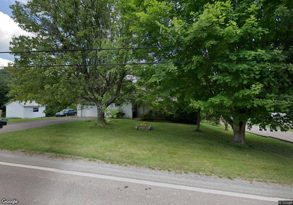
1492 Mae West Rd Confluence, PA 15424
Henry Clay Township NeighborhoodEstimated Value: $104,000 - $227,000
2
Beds
1
Bath
1,052
Sq Ft
$156/Sq Ft
Est. Value
About This Home
This home is located at 1492 Mae West Rd, Confluence, PA 15424 and is currently estimated at $163,990, approximately $155 per square foot. 1492 Mae West Rd is a home located in Fayette County with nearby schools including Uniontown Area Senior High School.
Ownership History
Date
Name
Owned For
Owner Type
Purchase Details
Closed on
Oct 30, 2015
Sold by
Reckner Harvey W and Reckner Ida Mae
Bought by
Barlow William N and Barlow Megan
Current Estimated Value
Home Financials for this Owner
Home Financials are based on the most recent Mortgage that was taken out on this home.
Original Mortgage
$35,000
Outstanding Balance
$27,604
Interest Rate
3.87%
Mortgage Type
Purchase Money Mortgage
Estimated Equity
$136,386
Purchase Details
Closed on
Dec 5, 2002
Bought by
Reckner Harvey W and Reckner Ida M
Create a Home Valuation Report for This Property
The Home Valuation Report is an in-depth analysis detailing your home's value as well as a comparison with similar homes in the area
Home Values in the Area
Average Home Value in this Area
Purchase History
| Date | Buyer | Sale Price | Title Company |
|---|---|---|---|
| Barlow William N | $45,000 | None Available | |
| Reckner Harvey W | -- | -- |
Source: Public Records
Mortgage History
| Date | Status | Borrower | Loan Amount |
|---|---|---|---|
| Open | Barlow William N | $35,000 |
Source: Public Records
Tax History Compared to Growth
Tax History
| Year | Tax Paid | Tax Assessment Tax Assessment Total Assessment is a certain percentage of the fair market value that is determined by local assessors to be the total taxable value of land and additions on the property. | Land | Improvement |
|---|---|---|---|---|
| 2025 | $818 | $31,985 | $11,160 | $20,825 |
| 2024 | $781 | $31,985 | $11,160 | $20,825 |
| 2023 | $1,561 | $31,985 | $11,160 | $20,825 |
| 2022 | $1,561 | $31,985 | $11,160 | $20,825 |
| 2021 | $1,561 | $31,985 | $11,160 | $20,825 |
| 2020 | $1,525 | $31,985 | $11,160 | $20,825 |
| 2019 | $1,401 | $31,985 | $11,160 | $20,825 |
| 2018 | $1,326 | $31,985 | $11,160 | $20,825 |
| 2017 | $1,326 | $31,985 | $11,160 | $20,825 |
| 2016 | -- | $31,985 | $11,160 | $20,825 |
| 2015 | -- | $31,985 | $11,160 | $20,825 |
| 2014 | -- | $63,970 | $22,320 | $41,650 |
Source: Public Records
Map
Nearby Homes
- 626 Sterner St
- 833 Oden St
- 631 Meyers St
- 0 Klondike Rd Unit 22177073
- 0 Klondike Rd Unit 22177082
- 0 Klondike Rd Unit 22177080
- 0 Klondike Rd Unit 22177074
- 100 First St
- 100 First Street Lot Unit WP001
- Coon Hollow Rd
- #5 & #7 Laurel Rd
- 230 Locust Rd
- 750 Lake Side Rd
- 0 Coon Hollow Rd
- 280 Main St
- 309 Dark Hollow Rd
- 100 Jersey Hollow Rd
- 734 Main St
- 171 Mae Rd W
- 112 New Beaver Creek Rd
- 1515 Mae West Rd
- 1515 Mae Rd W
- 1486 Mae West Rd
- 1486 Mae Rd W
- 0 Maewest Unit 1000143329
- 0 Maewest Unit 997736
- 0 Maewest Unit 1000344368
- 1484 Mae West Rd
- 1489 Mae Rd W
- 1489 Mae West Rd
- 1483 Mae West Rd
- 1483 Mae West Rd
- 621 Flanigan Rd
- 606 Flanigan Rd
- 619 Flanigan Rd
- 1523 Mae Rd W
- 102 Lippencott Rd
- 0 Mae Rd W
- 1482 Mae West Rd
- 1482 Mae West Rd