14920 SW Bozarth Rd Powell Butte, OR 97753
Estimated Value: $1,142,066 - $1,313,000
4
Beds
3
Baths
2,616
Sq Ft
$469/Sq Ft
Est. Value
About This Home
This home is located at 14920 SW Bozarth Rd, Powell Butte, OR 97753 and is currently estimated at $1,227,533, approximately $469 per square foot. 14920 SW Bozarth Rd is a home located in Crook County with nearby schools including Crooked River Elementary School, Crook County Middle School, and Crook County High School.
Ownership History
Date
Name
Owned For
Owner Type
Purchase Details
Closed on
Nov 2, 2012
Sold by
Weigand Josephine A
Bought by
Weigand Josephine A and Philip J Weigand Family Trust
Current Estimated Value
Purchase Details
Closed on
Mar 11, 2008
Sold by
Gmac Mortgage Llc
Bought by
Hermens Stanley and Hermens Ruth
Purchase Details
Closed on
May 20, 2005
Sold by
Stump Kristin D
Bought by
Stump Steve P
Home Financials for this Owner
Home Financials are based on the most recent Mortgage that was taken out on this home.
Original Mortgage
$48,000
Interest Rate
5.84%
Mortgage Type
New Conventional
Create a Home Valuation Report for This Property
The Home Valuation Report is an in-depth analysis detailing your home's value as well as a comparison with similar homes in the area
Home Values in the Area
Average Home Value in this Area
Purchase History
| Date | Buyer | Sale Price | Title Company |
|---|---|---|---|
| Weigand Josephine A | -- | None Available | |
| Hermens Stanley | $625,000 | Amerititle | |
| Stump Steve P | -- | None Available |
Source: Public Records
Mortgage History
| Date | Status | Borrower | Loan Amount |
|---|---|---|---|
| Previous Owner | Stump Steve P | $48,000 |
Source: Public Records
Tax History Compared to Growth
Tax History
| Year | Tax Paid | Tax Assessment Tax Assessment Total Assessment is a certain percentage of the fair market value that is determined by local assessors to be the total taxable value of land and additions on the property. | Land | Improvement |
|---|---|---|---|---|
| 2025 | $3,541 | $291,515 | -- | -- |
| 2024 | $3,458 | $283,143 | -- | -- |
| 2023 | $3,340 | $275,017 | $0 | $0 |
| 2022 | $3,237 | $267,090 | $0 | $0 |
| 2021 | $3,239 | $259,440 | $0 | $0 |
| 2020 | $3,151 | $252,024 | $0 | $0 |
| 2019 | $3,043 | $237,963 | $0 | $0 |
| 2018 | $2,968 | $237,963 | $0 | $0 |
| 2017 | $2,899 | $229,155 | $0 | $0 |
| 2016 | $2,768 | $216,257 | $0 | $0 |
| 2015 | $2,649 | $216,257 | $0 | $0 |
| 2013 | -- | $204,074 | $0 | $0 |
Source: Public Records
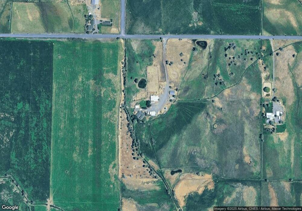
Map
Nearby Homes
- 13501 SW Riggs Rd
- 3068 SW Reif Rd
- 0 Talarus Tr
- 8385 SW Copley Rd
- 12855 SW Ayres Ln
- 165 SW Bent Loop
- 11311 SW Fleming Rd
- 10934 SW Fleming Rd
- 9280 SW Copley Rd
- 1814 Remington Ranch Dr
- 8956 SW Yahooskin Dr
- 502 SW Bent Loop
- 7006 SW Joshua Ct
- 6904 SW Joshua Ct
- 10300 SW Nicole Dr
- 13689 SW Bussett Rd
- 0 SW Red Cloud Rd Unit 1356 220203006
- 0 SW Parrish Ln Unit 416136612
- 11705 SW Shumway Rd
- 0 SW Reif Rd Unit 220210897
- 15385 SW Bozarth Rd
- 14870 SW Bozarth Rd
- 5620 SW Reif Rd
- 4804 SW Briar Ln
- 15052 SW Highway 126
- 15648 SW Highway 126
- 15648 SW Hwy 126
- 15048 SW Highway 126
- 15048 SW Highway 126
- 4798 SW Briar Ln
- 14815 SW Highway 126
- 0 SW Bozarth Rd
- 15074 SW Highway 126
- 4907 SW Briar Ln
- 4907 SW Briar Ln
- 4907 SW Briar Ln
- 15663 SW Highway 126
- 4682 SW Briar Ln
- 5136 SW Reif Rd
- 5444 SW Bozarth Rd