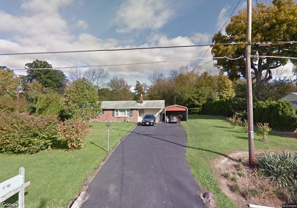
1493 Chew Rd Mansfield, OH 44903
Estimated Value: $156,779 - $184,000
3
Beds
1
Bath
1,040
Sq Ft
$169/Sq Ft
Est. Value
About This Home
This home is located at 1493 Chew Rd, Mansfield, OH 44903 and is currently estimated at $175,945, approximately $169 per square foot. 1493 Chew Rd is a home located in Richland County.
Ownership History
Date
Name
Owned For
Owner Type
Purchase Details
Closed on
Aug 26, 2009
Sold by
Henry Jane and Henry Scott C
Bought by
Henry Scott C
Current Estimated Value
Home Financials for this Owner
Home Financials are based on the most recent Mortgage that was taken out on this home.
Original Mortgage
$72,000
Outstanding Balance
$47,136
Interest Rate
5.21%
Mortgage Type
Future Advance Clause Open End Mortgage
Estimated Equity
$128,809
Purchase Details
Closed on
Dec 16, 2002
Sold by
Feigenbaum Virgil P and Swartz Nancy May
Bought by
Henry Jane
Purchase Details
Closed on
Dec 11, 2002
Sold by
Feigenbaum James E and Feigenbaum Judy E
Bought by
Henry Jane
Purchase Details
Closed on
May 13, 1994
Sold by
Feigenbaum Virgil P
Bought by
Feigenbaum Evalyn
Create a Home Valuation Report for This Property
The Home Valuation Report is an in-depth analysis detailing your home's value as well as a comparison with similar homes in the area
Home Values in the Area
Average Home Value in this Area
Purchase History
| Date | Buyer | Sale Price | Title Company |
|---|---|---|---|
| Henry Scott C | -- | Chicago Title | |
| Henry Jane | -- | Park Place Title Agency | |
| Henry Jane | -- | Park Place Title Agency | |
| Feigenbaum Evalyn | -- | -- |
Source: Public Records
Mortgage History
| Date | Status | Borrower | Loan Amount |
|---|---|---|---|
| Open | Henry Scott C | $72,000 |
Source: Public Records
Tax History Compared to Growth
Tax History
| Year | Tax Paid | Tax Assessment Tax Assessment Total Assessment is a certain percentage of the fair market value that is determined by local assessors to be the total taxable value of land and additions on the property. | Land | Improvement |
|---|---|---|---|---|
| 2024 | $1,050 | $31,450 | $7,850 | $23,600 |
| 2023 | $1,050 | $31,450 | $7,850 | $23,600 |
| 2022 | $950 | $26,150 | $7,010 | $19,140 |
| 2021 | $949 | $26,150 | $7,010 | $19,140 |
| 2020 | $957 | $26,150 | $7,010 | $19,140 |
| 2019 | $830 | $22,170 | $5,950 | $16,220 |
| 2018 | $776 | $22,170 | $5,950 | $16,220 |
| 2017 | $760 | $22,170 | $5,950 | $16,220 |
| 2016 | $404 | $15,640 | $5,650 | $9,990 |
| 2015 | $404 | $15,640 | $5,650 | $9,990 |
| 2014 | $384 | $15,640 | $5,650 | $9,990 |
| 2012 | $203 | $16,460 | $5,950 | $10,510 |
Source: Public Records
Map
Nearby Homes
- 929 Antionette Dr
- 1875 Mansfield Lucas Rd
- 0 State Route 39 & I-71 Southeast Quadrant
- 0 State Route 39 & I-71 Northeast Quadrant
- 1679 Pulver Rd
- 2061 Washington North Rd
- 0 Woodville Rd Unit Lot 14952, 14953
- 0 Woodville Rd Unit Lot 14954, 14955
- 0 Woodville Rd Unit Lot 14956, 14957,
- 794 Mansfield Washington Rd
- 716 Mansfield Washington Rd
- 36 Ridge Rd S
- 1135 E Hanley Rd
- 0 Mcelroy Rd
- 76 Ford Rd N
- 174 W Main St
- 369 Davidson St
- 405 Plainview Ave
- 419 Pearl Ave
- 155 Ford Rd N Unit Lot 30