14932 Highway 55 South Haven, MN 55382
Estimated Value: $192,884 - $262,000
--
Bed
--
Bath
--
Sq Ft
1.56
Acres
About This Home
This home is located at 14932 Highway 55, South Haven, MN 55382 and is currently estimated at $227,442. 14932 Highway 55 is a home located in Wright County with nearby schools including Annandale Elementary School, Annandale Middle School, and Annandale Senior High School.
Ownership History
Date
Name
Owned For
Owner Type
Purchase Details
Closed on
Apr 22, 2022
Sold by
Glennwayne Enterprises Llc
Bought by
K-Built Properties Llc
Current Estimated Value
Home Financials for this Owner
Home Financials are based on the most recent Mortgage that was taken out on this home.
Original Mortgage
$135,000
Outstanding Balance
$126,261
Interest Rate
3.85%
Mortgage Type
New Conventional
Estimated Equity
$101,181
Purchase Details
Closed on
Jan 6, 2003
Sold by
Oneill James E and Oneill Mary L
Bought by
Bnz Llp
Create a Home Valuation Report for This Property
The Home Valuation Report is an in-depth analysis detailing your home's value as well as a comparison with similar homes in the area
Home Values in the Area
Average Home Value in this Area
Purchase History
| Date | Buyer | Sale Price | Title Company |
|---|---|---|---|
| K-Built Properties Llc | $181,000 | -- | |
| Glennwayne Enterprises Llc | $135,000 | -- | |
| Bnz Llp | $76,680 | -- |
Source: Public Records
Mortgage History
| Date | Status | Borrower | Loan Amount |
|---|---|---|---|
| Open | K-Built Properties Llc | $135,000 |
Source: Public Records
Tax History Compared to Growth
Tax History
| Year | Tax Paid | Tax Assessment Tax Assessment Total Assessment is a certain percentage of the fair market value that is determined by local assessors to be the total taxable value of land and additions on the property. | Land | Improvement |
|---|---|---|---|---|
| 2025 | $2,472 | $208,500 | $149,000 | $59,500 |
| 2024 | $1,996 | $196,200 | $127,200 | $69,000 |
| 2023 | $1,420 | $174,300 | $105,400 | $68,900 |
| 2022 | $1,556 | $125,600 | $62,700 | $62,900 |
| 2021 | $1,502 | $114,700 | $56,700 | $58,000 |
| 2020 | $1,538 | $108,700 | $56,700 | $52,000 |
| 2019 | $1,702 | $108,500 | $0 | $0 |
| 2018 | $1,564 | $116,400 | $0 | $0 |
| 2017 | $2,286 | $111,500 | $0 | $0 |
| 2016 | $2,402 | $0 | $0 | $0 |
| 2015 | $2,422 | $0 | $0 | $0 |
| 2014 | -- | $0 | $0 | $0 |
Source: Public Records
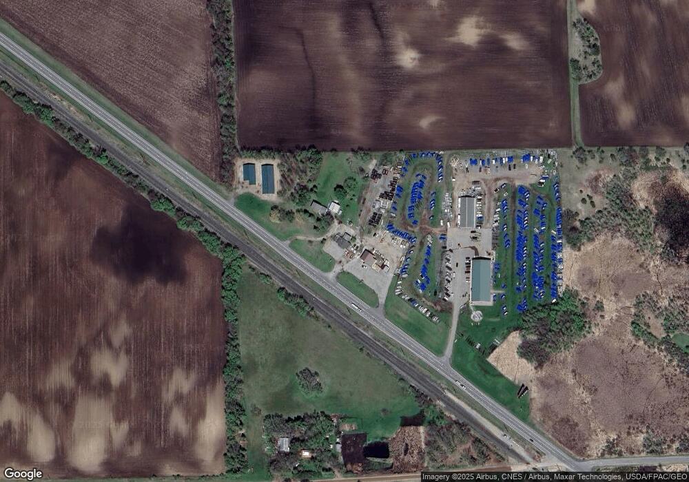
Map
Nearby Homes
- 8537 Pittman Ave NW
- 13934 101st St NW
- 0 80th St NW
- 13943 102nd St NW
- 10368 Oliver Ave NW
- 10848 Porter Ave NW
- 14264 74th St NW
- TBD-XXC Pilger Ave NW
- 7327 Quinn Ave NW
- 7939 Lake John Dr
- 16698 109th St NW
- 10399 Reardon Ave NW
- 7620 Lake John Dr
- 7610 Lake John Dr
- 7560 Lake John Dr
- 7550 Lake John Dr
- 7541 Lake John Dr
- 7425 Nevens Ave NW
- 7581 Lake John Dr
- 7551 Lake John Dr
- 14954 State Highway 55 NW
- 14940 90th St NW
- 14981 90th St NW
- 14799 90th St NW
- 14935 90th St NW
- 15165 90th St NW
- 14554 90th St NW
- 14553 90th St NW
- 14614 State Highway 55 NW
- 9200 Osborn Ave NW
- 9249 Osborn Ave NW
- X 90th St NW
- 14518 State Highway 55 NW
- 14518 State Highway 55 NW
- XXX 90th St Nw & Pittman Ave N
- XX Pittman Ave NW
- 300 Custer St
- 000 South St
- 000 97th St
- 260 Fairhaven Ave