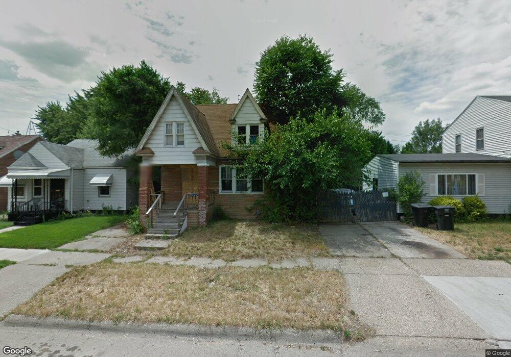
14933 Snowden St Detroit, MI 48227
Bethune Community NeighborhoodEstimated Value: $54,244 - $79,000
--
Bed
1
Bath
1,080
Sq Ft
$65/Sq Ft
Est. Value
About This Home
This home is located at 14933 Snowden St, Detroit, MI 48227 and is currently estimated at $69,811, approximately $64 per square foot. 14933 Snowden St is a home located in Wayne County with nearby schools including Mary McLeod Bethune Elementary/Middle School, Charles L. Spain Elementary-Middle School, and Edward 'Duke' Ellington Conservatory of Music and Art.
Ownership History
Date
Name
Owned For
Owner Type
Purchase Details
Closed on
Jun 27, 2018
Sold by
Detroit Land Bank Authority
Bought by
Noland Delante
Current Estimated Value
Purchase Details
Closed on
Jan 12, 2017
Sold by
Sabree Eric R
Bought by
Detroit Land Bank Authority
Purchase Details
Closed on
Jan 17, 2014
Sold by
Us Mortgage Specialists Llc
Bought by
Zelch Glennon
Purchase Details
Closed on
Dec 17, 2013
Sold by
Newring Llc
Bought by
Us Mortgage Specialist Llc
Purchase Details
Closed on
Nov 7, 2013
Sold by
Wayne County Treasurer
Bought by
Newring Llc
Create a Home Valuation Report for This Property
The Home Valuation Report is an in-depth analysis detailing your home's value as well as a comparison with similar homes in the area
Home Values in the Area
Average Home Value in this Area
Purchase History
| Date | Buyer | Sale Price | Title Company |
|---|---|---|---|
| Noland Delante | $1,200 | None Available | |
| Detroit Land Bank Authority | -- | None Available | |
| Zelch Glennon | $15,625 | None Available | |
| Us Mortgage Specialist Llc | $2,250 | None Available | |
| Newring Llc | $500 | None Available |
Source: Public Records
Tax History Compared to Growth
Tax History
| Year | Tax Paid | Tax Assessment Tax Assessment Total Assessment is a certain percentage of the fair market value that is determined by local assessors to be the total taxable value of land and additions on the property. | Land | Improvement |
|---|---|---|---|---|
| 2025 | $379 | $4,700 | $0 | $0 |
| 2024 | $379 | $3,700 | $0 | $0 |
| 2023 | $365 | $3,100 | $0 | $0 |
| 2022 | $375 | $2,000 | $0 | $0 |
| 2021 | $371 | $1,500 | $0 | $0 |
| 2020 | $384 | $1,800 | $0 | $0 |
| 2019 | $382 | $1,600 | $0 | $0 |
| 2018 | $0 | $1,300 | $0 | $0 |
| 2017 | $13 | $1,300 | $0 | $0 |
| 2016 | $459 | $700 | $0 | $0 |
| 2015 | $68 | $700 | $0 | $0 |
| 2013 | $691 | $6,913 | $0 | $0 |
| 2010 | -- | $9,904 | $669 | $9,235 |
Source: Public Records
Map
Nearby Homes
- 14905 Littlefield St
- 14960 Littlefield St
- 15032 Snowden St
- 15061 Hartwell St
- 14938 Tracey St
- 15080 Littlefield St
- 15036 Tracey St
- 15088 Littlefield St
- 14885 Ward Ave
- 14903 Tracey St
- 14942 Ward Ave
- 14565 Hartwell St
- 15039 Sorrento St
- 14904 Stansbury Ave
- 15344 Hartwell St
- 15019 Stansbury St
- 15055 Steel St
- 13588 Lesure St
- 15380 Littlefield St
- 15395 Littlefield St
- 14927 Snowden St
- 14919 Snowden St
- 14949 Snowden St
- 14911 Snowden St
- 14955 Snowden St
- 14932 Hartwell St
- 14926 Hartwell St
- 14940 Hartwell St
- 14905 Snowden St
- 14961 Snowden St
- 14948 Hartwell St
- 14914 Hartwell St
- 14954 Hartwell St
- 14934 Snowden St
- 14940 Snowden St
- 14926 Snowden St
- 14899 Snowden St
- 14969 Snowden St
- 14946 Snowden St
- 14920 Snowden St