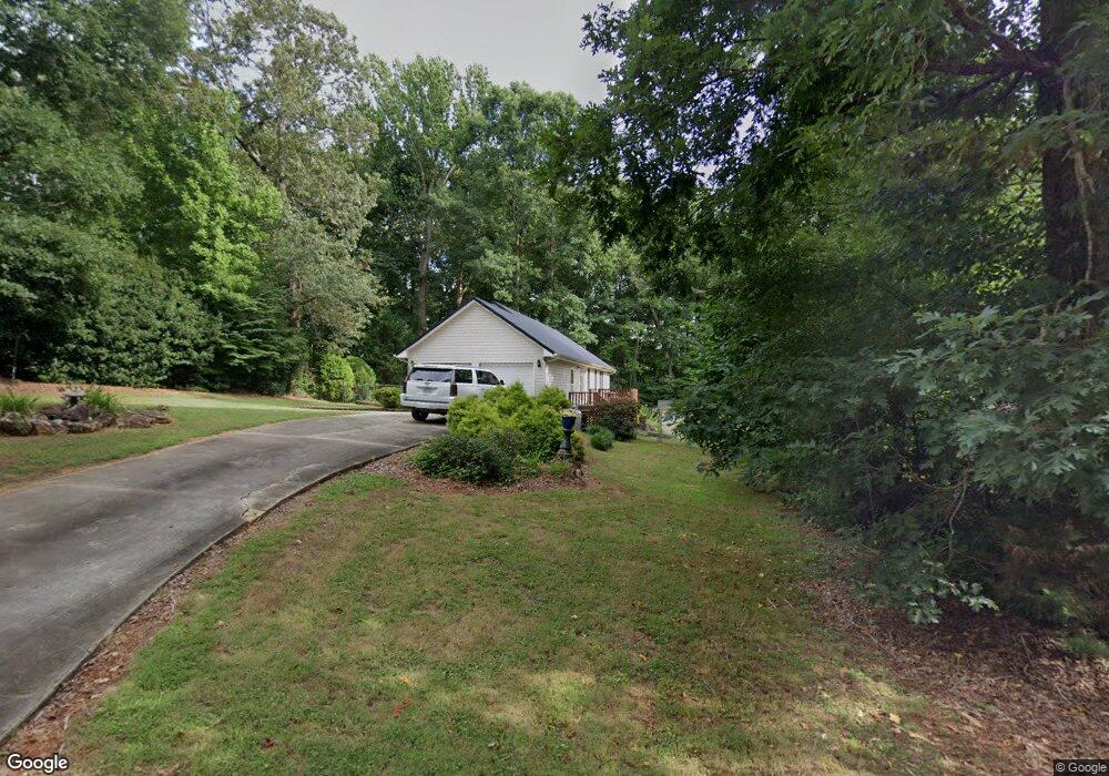
1495 Brookstone Ct Lincolnton, NC 28092
Estimated Value: $289,659 - $319,000
3
Beds
2
Baths
1,448
Sq Ft
$211/Sq Ft
Est. Value
About This Home
This home is located at 1495 Brookstone Ct, Lincolnton, NC 28092 and is currently estimated at $305,165, approximately $210 per square foot. 1495 Brookstone Ct is a home located in Lincoln County with nearby schools including Love Memorial Elementary School, West Lincoln Middle, and West Lincoln High School.
Ownership History
Date
Name
Owned For
Owner Type
Purchase Details
Closed on
Jan 26, 2024
Sold by
Fortenberry Angelina Carole
Bought by
Dias Albert and Dias Mary
Current Estimated Value
Home Financials for this Owner
Home Financials are based on the most recent Mortgage that was taken out on this home.
Original Mortgage
$182,000
Outstanding Balance
$169,491
Interest Rate
5.93%
Mortgage Type
New Conventional
Estimated Equity
$135,674
Purchase Details
Closed on
Feb 12, 1999
Bought by
Fortenberry Angelina Carole
Purchase Details
Closed on
Dec 23, 1996
Bought by
Ballard Investment Corp
Purchase Details
Closed on
Jan 26, 1996
Bought by
Ballard Larry W and Ballard Phyllis S
Create a Home Valuation Report for This Property
The Home Valuation Report is an in-depth analysis detailing your home's value as well as a comparison with similar homes in the area
Home Values in the Area
Average Home Value in this Area
Purchase History
| Date | Buyer | Sale Price | Title Company |
|---|---|---|---|
| Dias Albert | $265,000 | Fortified Title | |
| Dias Albert | $265,000 | Fortified Title | |
| Fortenberry Angelina Carole | $105,500 | -- | |
| Ballard Investment Corp | $11,500 | -- | |
| Ballard Larry W | $11,000 | -- |
Source: Public Records
Mortgage History
| Date | Status | Borrower | Loan Amount |
|---|---|---|---|
| Open | Dias Albert | $182,000 | |
| Closed | Dias Albert | $182,000 |
Source: Public Records
Tax History Compared to Growth
Tax History
| Year | Tax Paid | Tax Assessment Tax Assessment Total Assessment is a certain percentage of the fair market value that is determined by local assessors to be the total taxable value of land and additions on the property. | Land | Improvement |
|---|---|---|---|---|
| 2025 | $1,689 | $248,244 | $28,000 | $220,244 |
| 2024 | $1,669 | $248,244 | $28,000 | $220,244 |
| 2023 | $1,664 | $248,244 | $28,000 | $220,244 |
| 2022 | $1,291 | $158,037 | $22,000 | $136,037 |
| 2021 | $1,291 | $158,037 | $22,000 | $136,037 |
| 2020 | $1,144 | $158,037 | $22,000 | $136,037 |
| 2019 | $1,144 | $158,037 | $22,000 | $136,037 |
| 2018 | $1,029 | $126,035 | $20,000 | $106,035 |
| 2017 | $928 | $126,035 | $20,000 | $106,035 |
| 2016 | $928 | $126,035 | $20,000 | $106,035 |
| 2015 | $995 | $126,035 | $20,000 | $106,035 |
| 2014 | $956 | $126,752 | $20,500 | $106,252 |
Source: Public Records
Map
Nearby Homes
- 000 Riverview Rd
- 1672 Riverview Rd
- TBD Southfork Rd
- 2641 Southside Rd
- 3156 Long Shoals Rd
- 1431 Boy Scout Rd
- 2988 Wesleyan Church Rd
- 0 Gaston-Webbs Chapel Rd
- 2913 & 2901 Wesleyan Church Rd
- 1547 Roseland Dr
- 1690 Roseland Dr
- 584 Southside Church Rd
- 1218 W Highview Ln
- 1156 Lyn Well Rd
- 155 Golden Aster Dr
- 2130 Drive Inn Rd
- 2503 Tin Mine Rd
- 000 Southside Rd
- 170 Whitesides Dr
- 776 S Grove St Unit EXT
- 1495 Brookstone Ct Unit 12
- 1483 Brookstone Ct
- 1505 Brookstone Ct
- 1463 Brookstone Ct
- 00 Brookestone Dr
- 00 Brookestone Dr Unit Lot 10
- 0 Brookestone Dr Unit 10 3315951
- 1510 Brookstone Ct
- 1476 Brookestone Dr
- 1484 Brookstone Ct
- 1458 Brookestone Dr
- 3402 Laboratory Rd
- 3412 Laboratory Rd
- 3430 Laboratory Rd
- 1452 Brookestone Dr
- lot #7 Brookstone Dr Unit 7
- 0 Laboratory Rd Unit Lot 5 768380
- 0 Laboratory Rd Unit Lot 4 768363
- 0 Laboratory Rd Unit Lot 3 768343
- 0 Laboratory Rd Unit Lot 2 768327