1496 Davis Rd Eastanollee, GA 30538
Estimated Value: $218,000 - $298,000
6
Beds
2
Baths
1,830
Sq Ft
$139/Sq Ft
Est. Value
About This Home
This home is located at 1496 Davis Rd, Eastanollee, GA 30538 and is currently estimated at $255,134, approximately $139 per square foot. 1496 Davis Rd is a home located in Stephens County with nearby schools including Stephens County High School.
Ownership History
Date
Name
Owned For
Owner Type
Purchase Details
Closed on
Mar 17, 2023
Sold by
Pruitt Edward Blake
Bought by
Pruitt Cathy
Current Estimated Value
Purchase Details
Closed on
Jan 18, 2023
Sold by
Pruitt Cathy S
Bought by
Pruitt Cathy S and Pruitt Edward Blake
Create a Home Valuation Report for This Property
The Home Valuation Report is an in-depth analysis detailing your home's value as well as a comparison with similar homes in the area
Home Values in the Area
Average Home Value in this Area
Purchase History
| Date | Buyer | Sale Price | Title Company |
|---|---|---|---|
| Pruitt Cathy | -- | -- | |
| Pruitt Cathy S | -- | -- |
Source: Public Records
Tax History Compared to Growth
Tax History
| Year | Tax Paid | Tax Assessment Tax Assessment Total Assessment is a certain percentage of the fair market value that is determined by local assessors to be the total taxable value of land and additions on the property. | Land | Improvement |
|---|---|---|---|---|
| 2025 | $920 | $81,164 | $12,082 | $69,082 |
| 2024 | $648 | $56,348 | $12,082 | $44,266 |
| 2023 | $365 | $47,152 | $6,300 | $40,852 |
| 2022 | $292 | $44,694 | $6,300 | $38,394 |
| 2021 | $210 | $41,596 | $6,300 | $35,296 |
| 2020 | $1,249 | $41,538 | $6,199 | $35,339 |
| 2019 | $1,244 | $41,243 | $5,904 | $35,339 |
| 2018 | $1,237 | $40,998 | $5,904 | $35,094 |
| 2017 | $1,256 | $40,998 | $5,904 | $35,094 |
| 2016 | $1,237 | $40,998 | $5,904 | $35,094 |
| 2015 | $1,281 | $40,584 | $5,904 | $34,680 |
| 2014 | $1,303 | $40,584 | $5,904 | $34,680 |
| 2013 | -- | $42,060 | $7,380 | $34,680 |
Source: Public Records
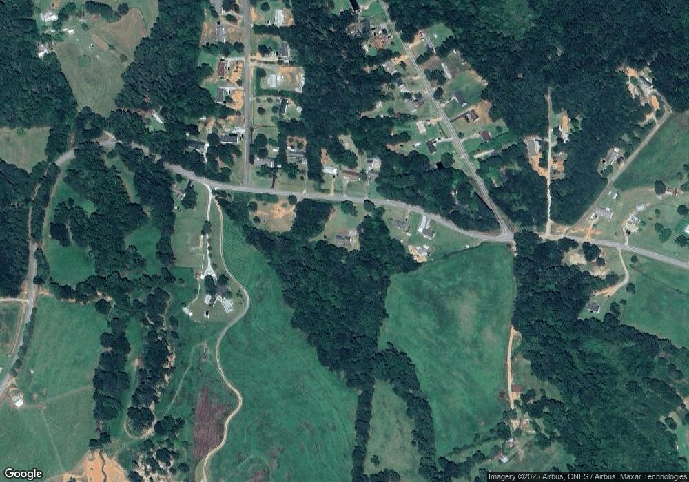
Map
Nearby Homes
- 0 Celia Dr Unit 10661226
- 197 Howard Rd
- 451 Defoor Rd
- 3.35 ACRES Keener Rd
- 17 Pinetree Rd
- 7 Jottings Dr
- 290 Indian Dr
- 672 Crawford Cir
- 219 Eastanollee Rd
- 56 Crawford Manor Dr
- 303 Oak Way Dr
- 271 Oak Way Dr
- 46 Cedar Ridge Dr
- 513 S Red Rock Rd
- 5.10 ACRES Hwy 123
- 160 Whitworth Cir
- 177 E Silver Shoals Rd
- Lot 21 Deer Chase
- 535 Deer Chase
- 836 Swilling Rd