1497 Old Highway 34 Mount Pleasant, IA 52641
Estimated Value: $206,000 - $224,000
3
Beds
1
Bath
1,380
Sq Ft
$155/Sq Ft
Est. Value
About This Home
This home is located at 1497 Old Highway 34, Mount Pleasant, IA 52641 and is currently estimated at $213,850, approximately $154 per square foot. 1497 Old Highway 34 is a home located in Henry County with nearby schools including Mount Pleasant High School.
Ownership History
Date
Name
Owned For
Owner Type
Purchase Details
Closed on
Feb 26, 2015
Sold by
Speidel Phillip H and Speidel Sandra K
Bought by
Forbess Michael and Forbess Morgan
Current Estimated Value
Home Financials for this Owner
Home Financials are based on the most recent Mortgage that was taken out on this home.
Original Mortgage
$132,600
Interest Rate
3.94%
Mortgage Type
New Conventional
Purchase Details
Closed on
Jan 23, 2015
Sold by
Estate Of Byron Keith Housh
Bought by
Forbess Michael and Forbess Morgan
Home Financials for this Owner
Home Financials are based on the most recent Mortgage that was taken out on this home.
Original Mortgage
$132,600
Interest Rate
3.94%
Mortgage Type
New Conventional
Create a Home Valuation Report for This Property
The Home Valuation Report is an in-depth analysis detailing your home's value as well as a comparison with similar homes in the area
Home Values in the Area
Average Home Value in this Area
Purchase History
| Date | Buyer | Sale Price | Title Company |
|---|---|---|---|
| Forbess Michael | -- | None Available | |
| Forbess Michael | $130,000 | None Available |
Source: Public Records
Mortgage History
| Date | Status | Borrower | Loan Amount |
|---|---|---|---|
| Previous Owner | Forbess Michael | $132,600 |
Source: Public Records
Tax History Compared to Growth
Tax History
| Year | Tax Paid | Tax Assessment Tax Assessment Total Assessment is a certain percentage of the fair market value that is determined by local assessors to be the total taxable value of land and additions on the property. | Land | Improvement |
|---|---|---|---|---|
| 2025 | $2,236 | $176,830 | $32,900 | $143,930 |
| 2024 | $2,100 | $160,530 | $32,900 | $127,630 |
| 2023 | $2,084 | $160,530 | $32,900 | $127,630 |
| 2022 | $2,088 | $130,080 | $32,900 | $97,180 |
| 2021 | $2,088 | $130,080 | $32,900 | $97,180 |
| 2020 | $2,004 | $124,010 | $32,900 | $91,110 |
| 2019 | $1,904 | $118,590 | $0 | $0 |
| 2018 | $1,822 | $118,590 | $0 | $0 |
| 2017 | $1,822 | $110,940 | $0 | $0 |
| 2016 | $1,654 | $110,940 | $0 | $0 |
| 2015 | $1,654 | $88,990 | $0 | $0 |
| 2014 | -- | $88,990 | $0 | $0 |
Source: Public Records
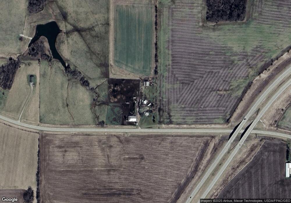
Map
Nearby Homes
- 1008 Westwood Dr
- 3015 Hickory Ln
- Tbd Pin Oaks Ln
- TBD Pin Oaks Ln
- 2336 Sunrise Cir
- 1515 240th St
- 1525 240th St
- LOT 7 Pin Oaks Ln
- 0 Pin Oaks Lot 8 Unit 6309313
- LOT 10 Pin Oaks Ln
- LOT 11 Pin Oaks Ln
- LOT 14 Pin Oaks Ln
- LOT 12 Pin Oaks Ln
- LOT 15 Pin Oaks Ln
- 2100 W Washington St
- 1408 200th St
- 1206 W Saunders St
- 0 Ash N Cherry St Unit 5425602
- 301 N Lafayette St
- 810 W Washington St
- 1524 Old Highway 34
- 1467 Old Highway 34
- 1466 Old Highway 34
- 1461 Old Highway 34
- 1542 Old Highway 34
- 0 Old Highway 34 Unit 25014369
- 0 Old Highway 34 Unit 5479272
- 0 Old Highway 34 Unit 5425780
- 0 Old Highway 34 Unit 5425554
- 0 Old Highway 34 Unit 5425603
- 0 Old Highway 34 Unit 5425560
- 2211 Franklin Ave
- 2270 Franklin Ave
- 1427 Old Highway 34
- 1567 Old Highway 34
- 1428 Old Highway 34
- 1560 Old Highway 34
- 1575 Old Highway 34
- 2190 Franklin Ave
- 1577 Old Highway 34