1497 S Keim St Pottstown, PA 19465
North Coventry NeighborhoodEstimated Value: $502,000
2
Beds
2
Baths
2,812
Sq Ft
$179/Sq Ft
Est. Value
About This Home
This home is located at 1497 S Keim St, Pottstown, PA 19465 and is currently estimated at $502,000, approximately $178 per square foot. 1497 S Keim St is a home located in Chester County with nearby schools including North Coventry Elementary School, Owen J Roberts Middle School, and Owen J Roberts High School.
Ownership History
Date
Name
Owned For
Owner Type
Purchase Details
Closed on
Jul 18, 2003
Sold by
Mauger Gloria and Marosek Cathy
Bought by
Kruemmling Ralph E and Kruemmling Kathryn C
Current Estimated Value
Home Financials for this Owner
Home Financials are based on the most recent Mortgage that was taken out on this home.
Original Mortgage
$160,000
Outstanding Balance
$68,126
Interest Rate
5.28%
Mortgage Type
Purchase Money Mortgage
Estimated Equity
$433,874
Purchase Details
Closed on
Aug 24, 1999
Sold by
Mauger Gloria
Bought by
Mauger Gloria and Marosek Cathy
Purchase Details
Closed on
Aug 17, 1999
Sold by
Marosek Cathy and Estate Of Gail R Krupp
Bought by
Mauger Gloria
Create a Home Valuation Report for This Property
The Home Valuation Report is an in-depth analysis detailing your home's value as well as a comparison with similar homes in the area
Home Values in the Area
Average Home Value in this Area
Purchase History
| Date | Buyer | Sale Price | Title Company |
|---|---|---|---|
| Kruemmling Ralph E | $200,000 | -- | |
| Mauger Gloria | -- | -- | |
| Mauger Gloria | $124,900 | -- |
Source: Public Records
Mortgage History
| Date | Status | Borrower | Loan Amount |
|---|---|---|---|
| Open | Kruemmling Ralph E | $160,000 |
Source: Public Records
Tax History Compared to Growth
Tax History
| Year | Tax Paid | Tax Assessment Tax Assessment Total Assessment is a certain percentage of the fair market value that is determined by local assessors to be the total taxable value of land and additions on the property. | Land | Improvement |
|---|---|---|---|---|
| 2025 | $10,313 | $366,810 | $108,150 | $258,660 |
| 2024 | $10,313 | $349,730 | $108,150 | $241,580 |
| 2023 | $10,168 | $349,730 | $108,150 | $241,580 |
| 2022 | $9,959 | $349,730 | $108,150 | $241,580 |
| 2021 | $9,785 | $349,730 | $108,150 | $241,580 |
| 2020 | $9,538 | $349,730 | $108,150 | $241,580 |
| 2019 | $9,364 | $349,730 | $108,150 | $241,580 |
| 2018 | $9,112 | $349,730 | $108,150 | $241,580 |
| 2017 | $8,875 | $349,730 | $108,150 | $241,580 |
| 2016 | $6,862 | $334,290 | $108,150 | $226,140 |
| 2015 | $6,862 | $334,290 | $108,150 | $226,140 |
| 2014 | $6,862 | $334,290 | $108,150 | $226,140 |
Source: Public Records
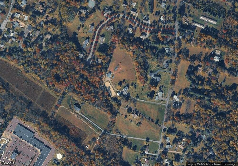
Map
Nearby Homes
- 1378 S Hanover St
- 446 Neiman Rd
- 1547 Pottstown Pike
- 746 W Hoffecker Rd
- 287 Kulp Rd
- 780 E Cedarville Rd
- 1189 Foxview Rd
- 1228 Sheep Hill Rd
- 1378 Sheep Hill Rd
- 383 W Cedarville Rd
- 1025 Darby Ct
- 537 Schoolhouse Rd
- 84 W Schuylkill Rd
- 848 S Keim St
- 614 Kline Ave
- 28 Wil-Be Dr
- 1027 Riverside Dr
- 1079 Riverside Dr
- 1111 Riverside Dr
- 5 N Savanna Dr
- 1507 S Keim St
- 1483 S Keim St
- 1489 S Keim St
- 108 Robert Joseph Rd
- 1479 S Keim St
- 220 Krepps Ln
- 100 Robert Joseph Rd
- 1492 S Keim St
- 106 Robert Joseph Rd
- 1496 S Keim St
- 1473 S Keim St
- 113 Robert Joseph Rd
- 111 Robert Joseph Rd
- 102 Robert Joseph Rd
- 1515 S Keim St
- 104 Robert Joseph Rd
- 1469 S Keim St
- 1511 S Keim St
- 1510 S Keim St
- 1514 S Keim St