14973 Route 20 Peosta, IA 52068
Estimated Value: $586,000 - $689,000
2
Beds
3
Baths
1,915
Sq Ft
$338/Sq Ft
Est. Value
About This Home
This home is located at 14973 Route 20, Peosta, IA 52068 and is currently estimated at $647,959, approximately $338 per square foot. 14973 Route 20 is a home located in Dubuque County with nearby schools including Carver Elementary School, Eleanor Roosevelt Middle School, and Hempstead High School.
Ownership History
Date
Name
Owned For
Owner Type
Purchase Details
Closed on
Jun 22, 2024
Sold by
Welter Kallie Jo and Welter Nicholas S
Bought by
Green Michael D and Green Julie Beck
Current Estimated Value
Home Financials for this Owner
Home Financials are based on the most recent Mortgage that was taken out on this home.
Original Mortgage
$650,000
Outstanding Balance
$641,816
Interest Rate
7.09%
Mortgage Type
Credit Line Revolving
Estimated Equity
$6,143
Purchase Details
Closed on
May 18, 2017
Sold by
Livingston Ralph
Bought by
Smith Joseph J and Smith Ann M
Create a Home Valuation Report for This Property
The Home Valuation Report is an in-depth analysis detailing your home's value as well as a comparison with similar homes in the area
Home Values in the Area
Average Home Value in this Area
Purchase History
| Date | Buyer | Sale Price | Title Company |
|---|---|---|---|
| Green Michael D | $650,000 | None Listed On Document | |
| Smith Joseph J | -- | None Available |
Source: Public Records
Mortgage History
| Date | Status | Borrower | Loan Amount |
|---|---|---|---|
| Open | Green Michael D | $650,000 |
Source: Public Records
Tax History Compared to Growth
Tax History
| Year | Tax Paid | Tax Assessment Tax Assessment Total Assessment is a certain percentage of the fair market value that is determined by local assessors to be the total taxable value of land and additions on the property. | Land | Improvement |
|---|---|---|---|---|
| 2025 | $4,306 | $452,500 | $126,200 | $326,300 |
| 2024 | $4,306 | $367,678 | $44,778 | $322,900 |
| 2023 | $4,030 | $393,700 | $70,200 | $323,500 |
| 2022 | $3,876 | $293,780 | $65,000 | $228,780 |
| 2021 | $3,876 | $293,780 | $65,000 | $228,780 |
| 2020 | $4,060 | $286,930 | $62,000 | $224,930 |
| 2019 | $3,988 | $286,930 | $62,000 | $224,930 |
| 2018 | $3,886 | $278,320 | $55,000 | $223,320 |
| 2017 | $3,686 | $271,320 | $48,000 | $223,320 |
| 2016 | $3,686 | $251,880 | $45,000 | $200,280 |
| 2015 | $3,584 | $251,880 | $45,000 | $200,280 |
| 2014 | $3,340 | $243,040 | $48,500 | $194,540 |
Source: Public Records
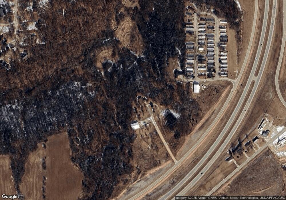
Map
Nearby Homes
- 10702 Golden Oaks Dr
- 10867 Golden Oaks Dr
- Lot 1 Forest Ridge Dr
- 10869 Cedar Ridge Ct
- 10640 Eagle Ridge Ct
- Lot 68 Hugo Dr
- Lot 18 Ione Dr
- TBD2 S Boulder Brook Ct
- Lot 3 Thunder Hills Dr
- Lot 2 Thunder Hills Dr
- 6501 Boulder Brook Ct
- Lot 93 Tagan Dr
- Lot 1 Thunder Hills Dr
- Lot 146 Gavin Cir
- Lot 145 Gavin Cir
- Lot 148 Gavin Cir
- 277 Wyatt Dr
- 326 Solomia Ct
- 348 Solomia Ct
- 310 Solomia Ct
- 15011 Lost Canyon Rd
- 14933 Lost Canyon Rd
- 14843 Siegert Ln
- 14819 Siegert Ln
- 14805 Siegert Ln
- 14797 Siegert Ln
- 10594 Reagan Ct
- 10570 Reagan Ct
- 15332 Briarwood Dr
- 14809 Route 20
- 10569 Reagan Ct
- 15306 Briarwood Dr
- 15358 Briarwood Dr
- 14755 N Cascade Rd
- 14858 W Ridge Ln
- 15319 Briarwood Dr
- 15392 Briarwood Dr
- 15266 Briarwood Dr
- 15414 Briarwood Dr
- 15140 Depot Ridge