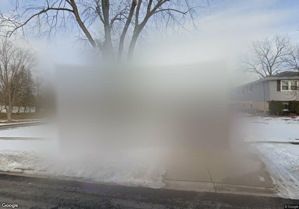
1499 Dennison Rd Hoffman Estates, IL 60169
Highlands-Schaumburg NeighborhoodEstimated Value: $440,000 - $520,000
4
Beds
3
Baths
1,675
Sq Ft
$279/Sq Ft
Est. Value
About This Home
This home is located at 1499 Dennison Rd, Hoffman Estates, IL 60169 and is currently estimated at $467,095, approximately $278 per square foot. 1499 Dennison Rd is a home located in Cook County with nearby schools including Churchill Elementary School, Dwight D Eisenhower Junior High School, and Hoffman Estates High School.
Ownership History
Date
Name
Owned For
Owner Type
Purchase Details
Closed on
Oct 30, 2024
Sold by
Patel Hani H and Midwest Asset Holdings Llc
Bought by
Patel Deep
Current Estimated Value
Purchase Details
Closed on
Jan 27, 2023
Sold by
Patel Hani H
Bought by
Patel Hani H and Midwest Asset Holdings Llc
Purchase Details
Closed on
Sep 29, 2017
Sold by
Papeck John and Papeck Vincenza M
Bought by
Patel Hani H
Home Financials for this Owner
Home Financials are based on the most recent Mortgage that was taken out on this home.
Original Mortgage
$280,250
Interest Rate
3%
Mortgage Type
Adjustable Rate Mortgage/ARM
Purchase Details
Closed on
Aug 14, 1993
Sold by
Papeck John and Papeck Vincenza M
Bought by
Papeck John and Papeck Vincenza M
Create a Home Valuation Report for This Property
The Home Valuation Report is an in-depth analysis detailing your home's value as well as a comparison with similar homes in the area
Home Values in the Area
Average Home Value in this Area
Purchase History
| Date | Buyer | Sale Price | Title Company |
|---|---|---|---|
| Patel Deep | -- | None Listed On Document | |
| Patel Hani H | -- | None Listed On Document | |
| Patel Hani H | $295,000 | Regency Title Services Inc | |
| Papeck John | -- | -- |
Source: Public Records
Mortgage History
| Date | Status | Borrower | Loan Amount |
|---|---|---|---|
| Previous Owner | Patel Hani H | $280,250 |
Source: Public Records
Tax History
| Year | Tax Paid | Tax Assessment Tax Assessment Total Assessment is a certain percentage of the fair market value that is determined by local assessors to be the total taxable value of land and additions on the property. | Land | Improvement |
|---|---|---|---|---|
| 2025 | $9,416 | $42,000 | $8,664 | $33,336 |
| 2024 | $9,416 | $34,000 | $7,426 | $26,574 |
| 2023 | $9,082 | $34,000 | $7,426 | $26,574 |
| 2022 | $9,082 | $34,000 | $7,426 | $26,574 |
| 2021 | $7,513 | $25,755 | $7,116 | $18,639 |
| 2020 | $8,427 | $25,755 | $7,116 | $18,639 |
| 2019 | $8,286 | $28,303 | $7,116 | $21,187 |
| 2018 | $9,130 | $27,998 | $5,879 | $22,119 |
| 2017 | $7,886 | $27,998 | $5,879 | $22,119 |
| 2016 | $7,597 | $27,998 | $5,879 | $22,119 |
| 2015 | $5,291 | $19,097 | $4,950 | $14,147 |
| 2014 | $5,215 | $19,097 | $4,950 | $14,147 |
| 2013 | $6,141 | $22,605 | $4,950 | $17,655 |
Source: Public Records
Map
Nearby Homes
- 1335 Gentry Rd
- 755 Cambridge Ln
- 1625 Dennison Rd
- 1418 Bladon Rd
- 1570 Jefferson Rd
- 555 Heritage Dr Unit 315
- 1180 Meadow Ln Unit 6306
- 720 Hill Dr Unit 8303
- 730 Hill Dr Unit 9205
- 600 Mesa Dr Unit 103
- 1045 Higgins Quarters Dr Unit 4-101
- 1025 Higgins Quarters Dr Unit 4-109
- 465 W Newport Rd
- 132 White Oak Ct Unit 5
- 1063 Stonehedge Dr
- 600 Baxter Ln
- 988 Butter Creek Ct Unit 4ND
- 368 Willow Tree Ct
- 945 Morton St
- 1000 Lancaster Ct
- 1495 Dennison Rd
- 1490 Elizabeth Ct
- 1480 Elizabeth Ct
- 1505 Dennison Rd
- 1485 Dennison Rd
- 598 Durham Ln
- 1498 Dennison Rd
- 1470 Elizabeth Ct
- 1490 Dennison Rd
- 1475 Dennison Rd
- 1480 Dennison Rd
- 1500 Dennison Rd
- 1460 Elizabeth Ct
- 1525 Dennison Rd
- 584 Durham Ct
- 590 Durham Ln
- 1476 Dennison Rd
- 1465 Dennison Rd
- 1520 Dennison Rd
- 1499 Cooper Rd
Your Personal Tour Guide
Ask me questions while you tour the home.