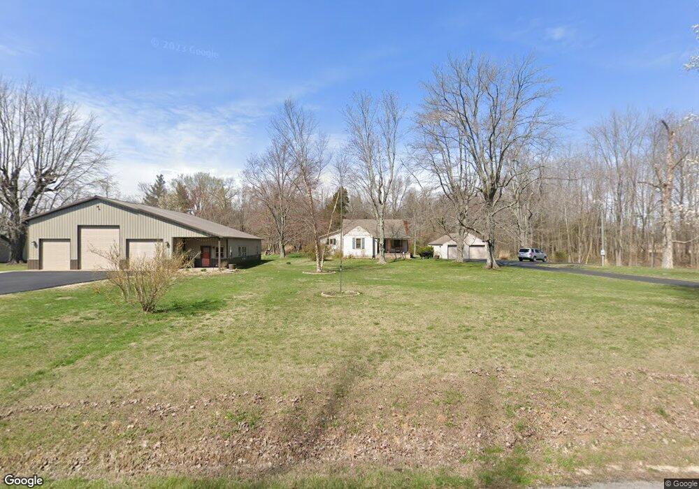
1499 E Harrod Rd Austin, IN 47102
Estimated Value: $225,000 - $300,000
2
Beds
3
Baths
2,152
Sq Ft
$122/Sq Ft
Est. Value
About This Home
This home is located at 1499 E Harrod Rd, Austin, IN 47102 and is currently estimated at $263,013, approximately $122 per square foot. 1499 E Harrod Rd is a home located in Scott County with nearby schools including Austin Elementary School, Austin Middle School, and Austin High School.
Ownership History
Date
Name
Owned For
Owner Type
Purchase Details
Closed on
Feb 20, 2002
Sold by
Secretary Of Housing & Urban Develo
Bought by
Chandler Justin
Current Estimated Value
Purchase Details
Closed on
Jul 30, 2001
Sold by
Wells Fargo Home Mtg Inc
Bought by
Secretary Of Housing & Urban Develo
Purchase Details
Closed on
May 29, 2001
Sold by
Phipps Anthony P and Phipps Wendy
Bought by
Wells Fargo Home Mtg Inc
Create a Home Valuation Report for This Property
The Home Valuation Report is an in-depth analysis detailing your home's value as well as a comparison with similar homes in the area
Home Values in the Area
Average Home Value in this Area
Purchase History
| Date | Buyer | Sale Price | Title Company |
|---|---|---|---|
| Chandler Justin | $45,701 | -- | |
| Secretary Of Housing & Urban Develo | -- | -- | |
| Wells Fargo Home Mtg Inc | -- | -- |
Source: Public Records
Tax History Compared to Growth
Tax History
| Year | Tax Paid | Tax Assessment Tax Assessment Total Assessment is a certain percentage of the fair market value that is determined by local assessors to be the total taxable value of land and additions on the property. | Land | Improvement |
|---|---|---|---|---|
| 2024 | $2,512 | $188,200 | $22,000 | $166,200 |
| 2023 | $2,547 | $186,900 | $22,000 | $164,900 |
| 2022 | $2,317 | $191,600 | $22,000 | $169,600 |
| 2021 | $2,096 | $175,300 | $22,000 | $153,300 |
| 2020 | $2,335 | $177,900 | $22,000 | $155,900 |
| 2019 | $2,169 | $173,300 | $22,000 | $151,300 |
| 2018 | $1,926 | $159,300 | $18,000 | $141,300 |
| 2017 | $1,856 | $160,300 | $18,000 | $142,300 |
| 2016 | $1,904 | $159,000 | $18,000 | $141,000 |
| 2014 | $1,007 | $112,900 | $18,000 | $94,900 |
| 2013 | $1,007 | $110,500 | $18,000 | $92,500 |
Source: Public Records
Map
Nearby Homes
- 5449 N Terry Rd
- 0 E Crothersville Rd Unit otWP001 23277874
- 0 E Crothersville Rd
- 1671 Burns Ct
- 0 County Road 650 N
- 6897 N Bogardus Rd
- 92 Stonybrook Dr
- 1062 E State Road 256
- 3119 E State Road 256
- 3095 N Coffee Pot Rd
- 7257 N Sunnyside Rd
- 1212 Mann Ave
- 3183 New Frankfort Rd
- 746 Goodin Dr
- 748 Goodin Dr
- 1153 Clay St
- 1105 Pearl St
- 329 E Cutshall Rd
- 569 Broadway St
- 1020 N Church St
- 1437 E Harrod Rd
- 1486 E Harrod Rd
- 1540 E Harrod Rd
- 1413 E Harrod Rd
- 1389 E Harrod Rd
- 1375 E Harrod Rd
- 1359 E Harrod Rd
- 1333 E Harrod Rd
- 1671 E Harrod Rd
- 1664 E Harrod Rd
- 1311 E Harrod Rd
- 1291 E Harrod Rd
- 1269 E Harrod Rd
- 1723 E Harrod Rd
- 1703 E Harrod Rd
- 1251 E Harrod Rd
- 1275 E Harrod Rd
- 1229 E Harrod Rd
- 1209 E Harrod Rd