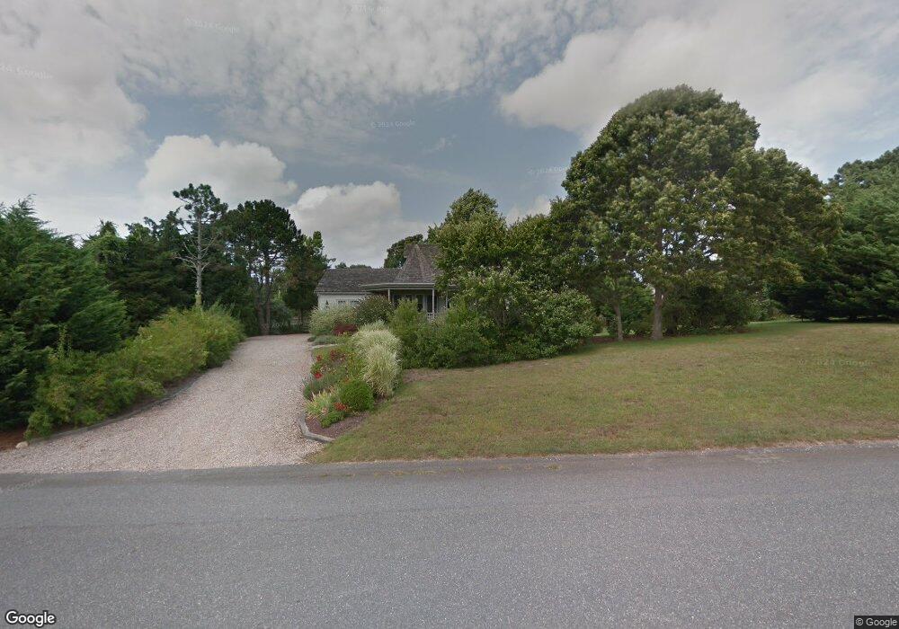
15 Aeries Ave Eastham, MA 02642
Estimated Value: $1,028,000 - $1,192,000
3
Beds
2
Baths
2,761
Sq Ft
$400/Sq Ft
Est. Value
About This Home
This home is located at 15 Aeries Ave, Eastham, MA 02642 and is currently estimated at $1,103,021, approximately $399 per square foot. 15 Aeries Ave is a home located in Barnstable County with nearby schools including Eastham Elementary School, Nauset Regional Middle School, and Nauset Regional High School.
Ownership History
Date
Name
Owned For
Owner Type
Purchase Details
Closed on
Feb 22, 2013
Sold by
Kelley-Alessi Lorraine A and Hippler Kelley A
Bought by
Kelder Gregory
Current Estimated Value
Home Financials for this Owner
Home Financials are based on the most recent Mortgage that was taken out on this home.
Original Mortgage
$340,000
Outstanding Balance
$67,266
Interest Rate
3.44%
Mortgage Type
New Conventional
Estimated Equity
$1,035,755
Purchase Details
Closed on
Mar 8, 1994
Sold by
Cape Cod B and Cape T
Bought by
Alessi Peter
Create a Home Valuation Report for This Property
The Home Valuation Report is an in-depth analysis detailing your home's value as well as a comparison with similar homes in the area
Home Values in the Area
Average Home Value in this Area
Purchase History
| Date | Buyer | Sale Price | Title Company |
|---|---|---|---|
| Kelder Gregory | $545,000 | -- | |
| Alessi Peter | $25,000 | -- |
Source: Public Records
Mortgage History
| Date | Status | Borrower | Loan Amount |
|---|---|---|---|
| Open | Kelder Gregory | $340,000 | |
| Previous Owner | Alessi Peter | $382,900 |
Source: Public Records
Tax History Compared to Growth
Tax History
| Year | Tax Paid | Tax Assessment Tax Assessment Total Assessment is a certain percentage of the fair market value that is determined by local assessors to be the total taxable value of land and additions on the property. | Land | Improvement |
|---|---|---|---|---|
| 2025 | $8,196 | $1,063,000 | $212,300 | $850,700 |
| 2024 | $7,232 | $1,031,600 | $206,100 | $825,500 |
| 2023 | $6,645 | $917,800 | $190,900 | $726,900 |
| 2022 | $5,926 | $690,700 | $170,400 | $520,300 |
| 2021 | $5,810 | $632,900 | $154,900 | $478,000 |
| 2020 | $5,276 | $605,100 | $158,100 | $447,000 |
| 2019 | $4,890 | $592,700 | $153,500 | $439,200 |
| 2018 | $4,805 | $575,500 | $149,000 | $426,500 |
| 2017 | $4,667 | $590,800 | $168,000 | $422,800 |
| 2016 | $3,942 | $529,800 | $109,600 | $420,200 |
| 2015 | $3,659 | $515,400 | $107,400 | $408,000 |
Source: Public Records
Map
Nearby Homes
- 1975 State Hwy Unit 3
- 1975 State Hwy Unit 5
- 1875 State Hwy
- 180 Country Ln
- 330 Hay Rd
- 60 Smith Heights Way
- 30 Cove Rd
- 1061 State Hwy Unit 4
- 645 Samoset Rd
- 25 Twin Rocks Dr
- 993 Intonti Way
- 995 Intonti Way
- 4 Wood Duck Ln
- 785 State Hwy Unit 9
- 20 Redberry Ln
- 20 Kittiwake Ln
- 20 White Pines Dr
- 46 Freeman Ln
- 10 Surrey Dr
- 6 Snow Way
- 2082 State Hwy
- 2050 State Hwy
- 25 Aeries Ave
- 2070 State Hwy
- 2070 State Hwy Unit 1
- 2070 State Hwy Unit 2
- 2075 State Hwy
- 2075 State Hwy Unit 1&2
- 50 Lucinda Ct
- 10 Aeries Ave
- 2080 State Rear
- 2032 State Hwy
- 2082 State Rte 6 Hwy
- 20 Aeries Ave
- 2085 State Hwy
- 1975 Mid-Cape Hwy
- 1975 State Hwy Unit 8
- 1975 State Hwy Unit 10
- 1975 State Hwy Unit 9
- 1975 State Hwy Unit 6