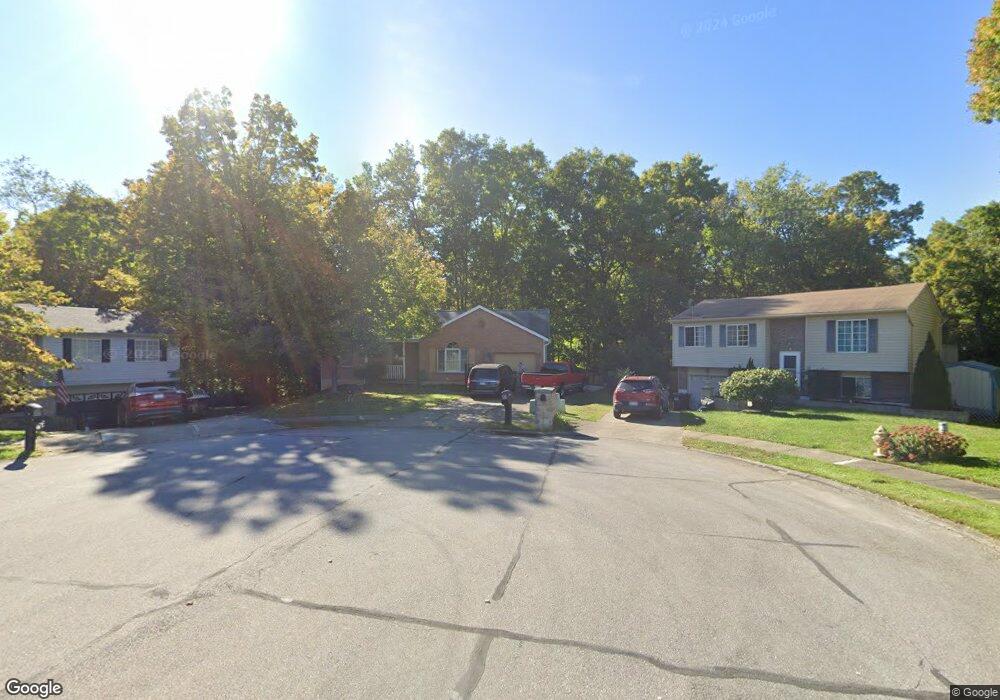
15 Ashwood Ln Alexandria, KY 41001
Estimated Value: $256,000 - $274,170
4
Beds
3
Baths
1,240
Sq Ft
$214/Sq Ft
Est. Value
About This Home
This home is located at 15 Ashwood Ln, Alexandria, KY 41001 and is currently estimated at $265,043, approximately $213 per square foot. 15 Ashwood Ln is a home located in Campbell County with nearby schools including Campbell Ridge Elementary School, Campbell County Middle School, and Campbell County High School.
Ownership History
Date
Name
Owned For
Owner Type
Purchase Details
Closed on
Dec 14, 2009
Sold by
Kees George and Kees Carleen
Bought by
The George Kees Jr Revocable Trust
Current Estimated Value
Purchase Details
Closed on
Jun 23, 2006
Sold by
Jones Gilbert L
Bought by
Jones Gilbert L and Jones Linda
Purchase Details
Closed on
Dec 17, 2004
Sold by
Audas Kimberly S
Bought by
Poppe Lorrine A
Home Financials for this Owner
Home Financials are based on the most recent Mortgage that was taken out on this home.
Original Mortgage
$70,000
Interest Rate
5.67%
Mortgage Type
Purchase Money Mortgage
Purchase Details
Closed on
May 18, 1999
Sold by
Johnston Ione J
Bought by
Avdas Kimberly S
Home Financials for this Owner
Home Financials are based on the most recent Mortgage that was taken out on this home.
Original Mortgage
$114,322
Interest Rate
6.98%
Mortgage Type
New Conventional
Create a Home Valuation Report for This Property
The Home Valuation Report is an in-depth analysis detailing your home's value as well as a comparison with similar homes in the area
Home Values in the Area
Average Home Value in this Area
Purchase History
| Date | Buyer | Sale Price | Title Company |
|---|---|---|---|
| The George Kees Jr Revocable Trust | -- | None Available | |
| Jones Gilbert L | $142,000 | None Available | |
| Poppe Lorrine A | $142,000 | Kentucky Land Title Agency | |
| Avdas Kimberly S | $115,000 | -- |
Source: Public Records
Mortgage History
| Date | Status | Borrower | Loan Amount |
|---|---|---|---|
| Previous Owner | Poppe Lorrine A | $70,000 | |
| Previous Owner | Avdas Kimberly S | $114,322 |
Source: Public Records
Tax History Compared to Growth
Tax History
| Year | Tax Paid | Tax Assessment Tax Assessment Total Assessment is a certain percentage of the fair market value that is determined by local assessors to be the total taxable value of land and additions on the property. | Land | Improvement |
|---|---|---|---|---|
| 2024 | $1,836 | $198,300 | $34,000 | $164,300 |
| 2023 | $1,793 | $198,300 | $34,000 | $164,300 |
| 2022 | $1,782 | $142,000 | $25,000 | $117,000 |
| 2021 | $1,803 | $142,000 | $25,000 | $117,000 |
| 2020 | $1,828 | $142,000 | $25,000 | $117,000 |
| 2019 | $1,811 | $142,000 | $25,000 | $117,000 |
| 2018 | $1,664 | $129,100 | $17,500 | $111,600 |
| 2017 | $1,646 | $129,100 | $17,500 | $111,600 |
| 2016 | $1,577 | $129,100 | $0 | $0 |
| 2015 | $1,613 | $129,100 | $0 | $0 |
| 2014 | $1,708 | $142,000 | $0 | $0 |
Source: Public Records
Map
Nearby Homes
- 42 Ridgewood Dr
- 4 Woodbury Ln
- 8 Driftwood Ct
- 12 S Bellewood Ct
- 2 S Bellewood Ct
- 4 Fernwood Ct
- 32 Bittersweet Dr
- 391 Aaron Dr
- 0 Persimmon Grove Pike
- 16 Shaw Dr
- 33 Shaw Dr
- 37 Shaw Dr
- 113 Clearmeadow Dr
- 1 Saddle Ridge Trail
- 3765 Ridgewood Ct
- 3781 Lisa Ln
- 7908 Alexandria Pike
- 8208 W Main St
- 1272 Ferncliff Dr
- Lot 43 Cliffwood Ct