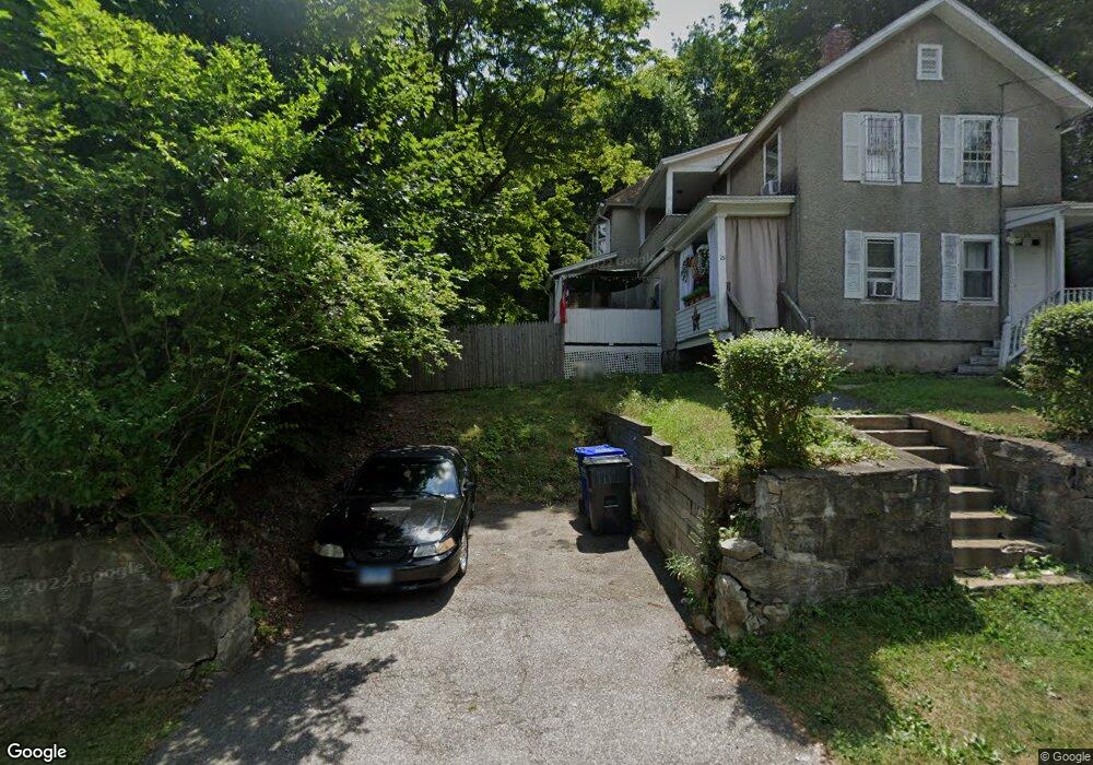
15 Bank St Unit 2ND Winsted, CT 06098
Estimated Value: $213,553 - $251,000
1
Bed
1
Bath
1,624
Sq Ft
$148/Sq Ft
Est. Value
About This Home
This home is located at 15 Bank St Unit 2ND, Winsted, CT 06098 and is currently estimated at $240,138, approximately $147 per square foot. 15 Bank St Unit 2ND is a home located in Litchfield County with nearby schools including Explorations Charter School, St Anthony School, and The Gilbert School.
Ownership History
Date
Name
Owned For
Owner Type
Purchase Details
Closed on
Nov 20, 2007
Sold by
Cross Gregory T and Cross Lisa C
Bought by
Deleon Rhonda
Current Estimated Value
Home Financials for this Owner
Home Financials are based on the most recent Mortgage that was taken out on this home.
Original Mortgage
$115,800
Interest Rate
6.41%
Create a Home Valuation Report for This Property
The Home Valuation Report is an in-depth analysis detailing your home's value as well as a comparison with similar homes in the area
Home Values in the Area
Average Home Value in this Area
Purchase History
| Date | Buyer | Sale Price | Title Company |
|---|---|---|---|
| Deleon Rhonda | $143,750 | -- | |
| Deleon Rhonda | $143,750 | -- |
Source: Public Records
Mortgage History
| Date | Status | Borrower | Loan Amount |
|---|---|---|---|
| Closed | Deleon Rhonda | $115,800 | |
| Previous Owner | Deleon Rhonda | $67,000 | |
| Previous Owner | Deleon Rhonda | $10,000 |
Source: Public Records
Tax History Compared to Growth
Tax History
| Year | Tax Paid | Tax Assessment Tax Assessment Total Assessment is a certain percentage of the fair market value that is determined by local assessors to be the total taxable value of land and additions on the property. | Land | Improvement |
|---|---|---|---|---|
| 2025 | $3,216 | $110,250 | $28,000 | $82,250 |
| 2024 | $3,003 | $110,250 | $28,000 | $82,250 |
| 2023 | $2,909 | $110,250 | $28,000 | $82,250 |
| 2022 | $2,672 | $79,660 | $20,300 | $59,360 |
| 2021 | $2,672 | $79,660 | $20,300 | $59,360 |
| 2020 | $2,672 | $79,660 | $20,300 | $59,360 |
| 2019 | $2,672 | $79,660 | $20,300 | $59,360 |
| 2018 | $2,672 | $79,660 | $20,300 | $59,360 |
| 2017 | $2,705 | $80,640 | $20,300 | $60,340 |
| 2016 | $2,705 | $80,640 | $20,300 | $60,340 |
| 2015 | $2,637 | $80,640 | $20,300 | $60,340 |
| 2014 | $2,573 | $80,640 | $20,300 | $60,340 |
Source: Public Records
Map
Nearby Homes