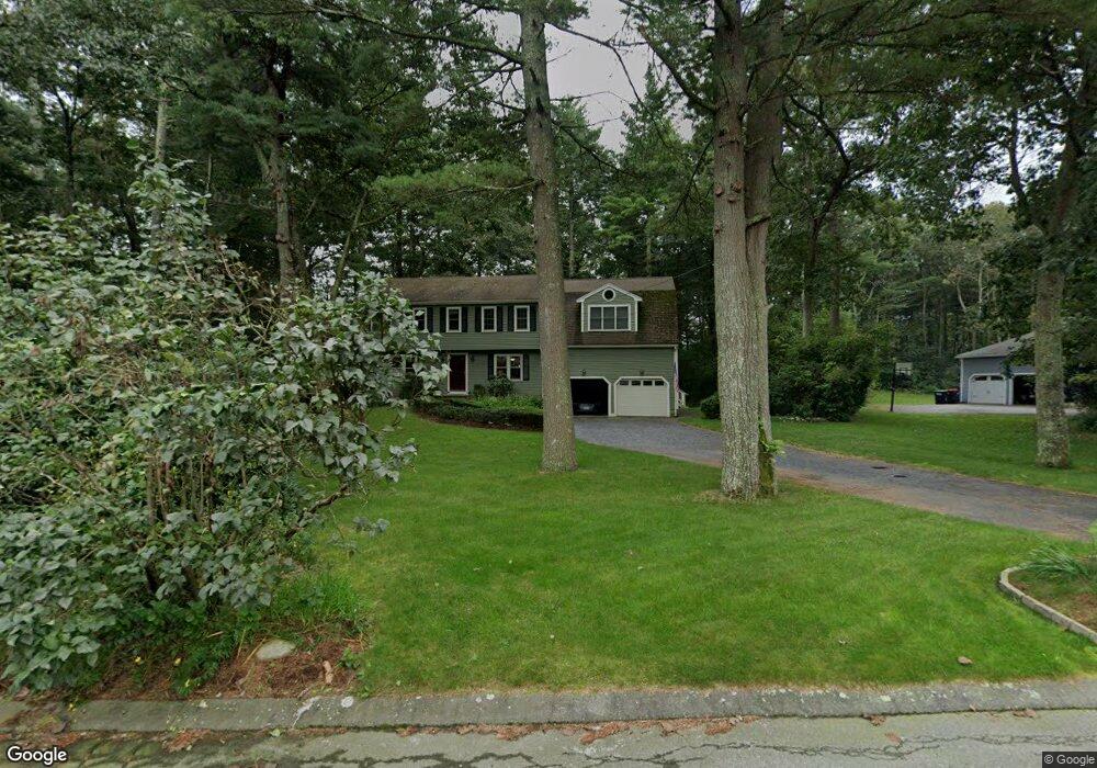
15 Beaverbrook Rd Norfolk, MA 02056
Estimated Value: $834,000 - $939,000
4
Beds
3
Baths
2,845
Sq Ft
$313/Sq Ft
Est. Value
About This Home
This home is located at 15 Beaverbrook Rd, Norfolk, MA 02056 and is currently estimated at $889,913, approximately $312 per square foot. 15 Beaverbrook Rd is a home located in Norfolk County with nearby schools including H. Olive Day School, Freeman-Kennedy School, and Clifford Academy.
Ownership History
Date
Name
Owned For
Owner Type
Purchase Details
Closed on
Oct 16, 2020
Sold by
Wimer W Eric W and Wimer Karen Y
Bought by
Wimber Ret
Current Estimated Value
Purchase Details
Closed on
Jan 12, 2000
Sold by
Lundin Tracy K and Lundin Kathy P
Bought by
Wimer W Eric and Wimer Karen Y
Home Financials for this Owner
Home Financials are based on the most recent Mortgage that was taken out on this home.
Original Mortgage
$30,500
Interest Rate
7.79%
Mortgage Type
Purchase Money Mortgage
Create a Home Valuation Report for This Property
The Home Valuation Report is an in-depth analysis detailing your home's value as well as a comparison with similar homes in the area
Home Values in the Area
Average Home Value in this Area
Purchase History
| Date | Buyer | Sale Price | Title Company |
|---|---|---|---|
| Wimber Ret | -- | None Available | |
| Wimer W Eric | $305,000 | -- |
Source: Public Records
Mortgage History
| Date | Status | Borrower | Loan Amount |
|---|---|---|---|
| Previous Owner | Wimer W Eric | $316,000 | |
| Previous Owner | Wimer W Eric | $30,500 | |
| Previous Owner | Wimer W Eric | $87,225 | |
| Closed | Wimer W Eric | $244,000 |
Source: Public Records
Tax History Compared to Growth
Tax History
| Year | Tax Paid | Tax Assessment Tax Assessment Total Assessment is a certain percentage of the fair market value that is determined by local assessors to be the total taxable value of land and additions on the property. | Land | Improvement |
|---|---|---|---|---|
| 2025 | $11,264 | $705,300 | $213,600 | $491,700 |
| 2024 | $10,613 | $681,600 | $213,600 | $468,000 |
| 2023 | $10,161 | $619,200 | $213,600 | $405,600 |
| 2022 | $9,459 | $519,700 | $199,800 | $319,900 |
| 2021 | $9,141 | $508,100 | $194,100 | $314,000 |
| 2020 | $9,053 | $485,700 | $176,400 | $309,300 |
| 2019 | $8,713 | $476,400 | $176,400 | $300,000 |
| 2018 | $8,353 | $448,600 | $176,400 | $272,200 |
| 2017 | $8,241 | $452,300 | $176,400 | $275,900 |
| 2016 | $8,100 | $448,000 | $176,400 | $271,600 |
| 2015 | $7,827 | $443,200 | $168,000 | $275,200 |
| 2014 | $7,355 | $422,000 | $168,000 | $254,000 |
Source: Public Records
Map
Nearby Homes
- 6 Forest Grove Ave
- 45 King St
- 246 Forest Grove Ave
- 48 Mirror Lake Ave
- 38 Robin Rd
- 14 Robin Rd
- 10 W Birch Rd
- 3 Pheasanthill Rd
- 45 Joshua Rd
- 2 Diamond St
- 26 Ridge Rd
- 14 Essex St
- 23 Fredrickson Rd
- 50 Reed Fulton Ave Unit Lot 61
- 46 Weber Farm Rd Unit 46
- 6 Trailside Way
- 8 Analore Cir
- 71 Pond St
- 383 Franklin St
- 7 Keeney Pond Rd
- 11 Beaverbrook Rd
- 17 Beaverbrook Rd
- 14 Beaverbrook Rd
- 16 Beaverbrook Rd
- 9 Beaverbrook Rd
- 19 Beaverbrook Rd
- 18 Beaverbrook Rd
- 7 Blueberry Ln
- 19 Longmeadow Rd
- 21 Longmeadow Rd
- 3 Blueberry Ln
- 17 Longmeadow Rd
- 23 Longmeadow Rd
- 15 Longmeadow Rd
- 1 Blueberry Ln
- 4 Blueberry Ln
- 10 Blueberry Ln
- 8 Blueberry Ln
- 11 Longmeadow Rd
- 18 Longmeadow Rd