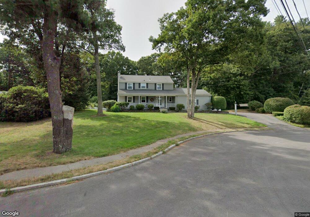
15 Birch Tree Rd Foxboro, MA 02035
Estimated Value: $785,116 - $907,000
3
Beds
3
Baths
2,044
Sq Ft
$412/Sq Ft
Est. Value
About This Home
This home is located at 15 Birch Tree Rd, Foxboro, MA 02035 and is currently estimated at $841,779, approximately $411 per square foot. 15 Birch Tree Rd is a home located in Norfolk County with nearby schools including Foxborough High School, Foxborough Regional Charter School, and The Sage School.
Ownership History
Date
Name
Owned For
Owner Type
Purchase Details
Closed on
Aug 18, 2015
Sold by
Grieder William E and Grieder Kathleen R
Bought by
Sougaris Sotiri and Sougaris Heather E
Current Estimated Value
Home Financials for this Owner
Home Financials are based on the most recent Mortgage that was taken out on this home.
Original Mortgage
$447,760
Outstanding Balance
$350,234
Interest Rate
3.87%
Mortgage Type
FHA
Estimated Equity
$491,545
Purchase Details
Closed on
Jul 11, 2000
Sold by
Papianou Alex C and Papianou Marcia L
Bought by
Grieder William E and Grieder Kathleen R
Home Financials for this Owner
Home Financials are based on the most recent Mortgage that was taken out on this home.
Original Mortgage
$100,000
Interest Rate
8.55%
Mortgage Type
Purchase Money Mortgage
Create a Home Valuation Report for This Property
The Home Valuation Report is an in-depth analysis detailing your home's value as well as a comparison with similar homes in the area
Home Values in the Area
Average Home Value in this Area
Purchase History
| Date | Buyer | Sale Price | Title Company |
|---|---|---|---|
| Sougaris Sotiri | $464,000 | -- | |
| Grieder William E | $333,000 | -- |
Source: Public Records
Mortgage History
| Date | Status | Borrower | Loan Amount |
|---|---|---|---|
| Open | Sougaris Sotiri | $447,760 | |
| Previous Owner | Grieder William E | $100,000 | |
| Previous Owner | Grieder William E | $240,000 | |
| Previous Owner | Grieder William E | $20,000 |
Source: Public Records
Tax History
| Year | Tax Paid | Tax Assessment Tax Assessment Total Assessment is a certain percentage of the fair market value that is determined by local assessors to be the total taxable value of land and additions on the property. | Land | Improvement |
|---|---|---|---|---|
| 2025 | $8,795 | $665,300 | $288,400 | $376,900 |
| 2024 | $8,479 | $627,600 | $288,400 | $339,200 |
| 2023 | $8,171 | $575,000 | $274,700 | $300,300 |
| 2022 | $7,481 | $515,200 | $224,400 | $290,800 |
| 2021 | $7,432 | $504,200 | $218,200 | $286,000 |
| 2020 | $7,209 | $494,800 | $218,200 | $276,600 |
| 2019 | $7,178 | $488,300 | $227,600 | $260,700 |
| 2018 | $6,970 | $478,400 | $227,600 | $250,800 |
| 2017 | $6,612 | $439,600 | $221,900 | $217,700 |
| 2016 | $6,116 | $412,700 | $195,000 | $217,700 |
| 2015 | $5,917 | $389,500 | $160,700 | $228,800 |
| 2014 | $5,705 | $380,600 | $156,200 | $224,400 |
Source: Public Records
Map
Nearby Homes
- 155 South St
- 67 Carpenter St
- 157 Central St
- 14 Baker St
- 54 Main St Unit A
- 233 Central St
- 58 Lakeview Rd
- 96 Main St Unit E4
- 26 Fuller Rd Unit 6
- 12 Spring St
- 165 Chestnut St Unit 2
- 147 Chestnut St Unit A
- 147 Chestnut St Unit B
- 356 Central St
- 11 Goodwin Dr
- 483 Thurston St
- 131 Washington St Unit 42
- 131 Washington St Unit 50
- 73 Ridge Rd
- 4 Concetta Cir