15 Birchwood Shores Rd Freedom, NH 03836
Estimated Value: $945,000 - $1,668,000
3
Beds
1
Bath
768
Sq Ft
$1,721/Sq Ft
Est. Value
About This Home
This home is located at 15 Birchwood Shores Rd, Freedom, NH 03836 and is currently estimated at $1,321,939, approximately $1,721 per square foot. 15 Birchwood Shores Rd is a home located in Carroll County with nearby schools including Freedom Elementary School.
Ownership History
Date
Name
Owned For
Owner Type
Purchase Details
Closed on
Feb 28, 2020
Sold by
Cristoferi Nancy M
Bought by
Cristoferi Nancy M and Critoferi Thomas S
Current Estimated Value
Home Financials for this Owner
Home Financials are based on the most recent Mortgage that was taken out on this home.
Original Mortgage
$450,000
Outstanding Balance
$398,539
Interest Rate
3.5%
Mortgage Type
New Conventional
Estimated Equity
$923,400
Purchase Details
Closed on
Oct 25, 2010
Sold by
Nappi John and Nappi Linda M
Bought by
Cristoferi Nancy M
Home Financials for this Owner
Home Financials are based on the most recent Mortgage that was taken out on this home.
Original Mortgage
$216,000
Interest Rate
4.37%
Mortgage Type
Purchase Money Mortgage
Create a Home Valuation Report for This Property
The Home Valuation Report is an in-depth analysis detailing your home's value as well as a comparison with similar homes in the area
Home Values in the Area
Average Home Value in this Area
Purchase History
| Date | Buyer | Sale Price | Title Company |
|---|---|---|---|
| Cristoferi Nancy M | -- | None Available | |
| Cristoferi Nancy M | $270,000 | -- |
Source: Public Records
Mortgage History
| Date | Status | Borrower | Loan Amount |
|---|---|---|---|
| Open | Cristoferi Nancy M | $450,000 | |
| Previous Owner | Cristoferi Nancy M | $212,000 | |
| Previous Owner | Cristoferi Nancy M | $216,000 |
Source: Public Records
Tax History Compared to Growth
Tax History
| Year | Tax Paid | Tax Assessment Tax Assessment Total Assessment is a certain percentage of the fair market value that is determined by local assessors to be the total taxable value of land and additions on the property. | Land | Improvement |
|---|---|---|---|---|
| 2024 | $7,730 | $1,076,600 | $595,600 | $481,000 |
| 2023 | $6,548 | $596,400 | $297,300 | $299,100 |
| 2022 | $5,909 | $577,600 | $297,300 | $280,300 |
| 2021 | $6,054 | $558,000 | $297,300 | $260,700 |
| 2020 | $5,933 | $556,000 | $297,300 | $258,700 |
| 2019 | $5,790 | $427,000 | $265,100 | $161,900 |
| 2018 | $5,521 | $427,000 | $265,100 | $161,900 |
| 2016 | $3,470 | $275,400 | $225,400 | $50,000 |
| 2015 | $3,337 | $275,800 | $227,400 | $48,400 |
| 2014 | $3,365 | $275,800 | $227,400 | $48,400 |
| 2013 | $3,409 | $275,800 | $227,400 | $48,400 |
Source: Public Records
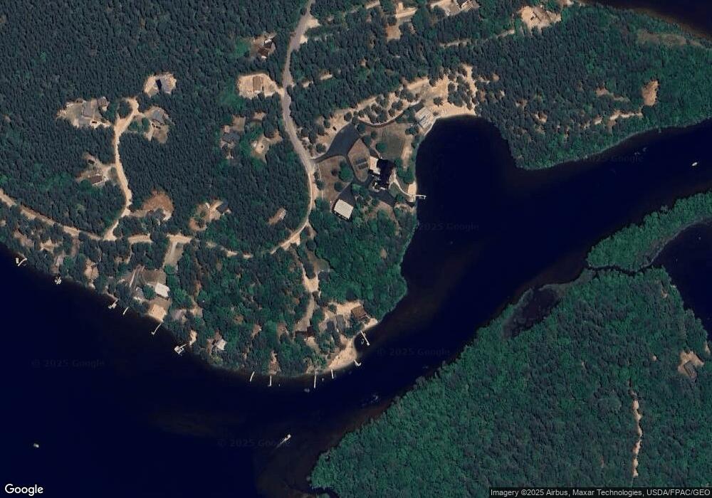
Map
Nearby Homes
- 16 Channel Rd
- 126 Leavitt Rd
- 118 Washington Rd Unit 55
- 128 Washington Rd Unit 65
- 128 Washington Rd Unit 66
- 227 Eaton Rd
- 4 Lower Broad Bay Rd
- 6 Laurel Rd
- 50 Milford Ave
- 10 Spur Rd
- 5-11 Friedman Ln
- Lot 8 Friedman Ln
- 5 Friedman Ln
- 33 Blueberry Rd
- 112 N Broadbay Rd
- Lot 11 Squire Ln
- Lot 10 Squire Ln
- Lot 9 Squire Ln
- 78 School St
- 555 Huckins Rd