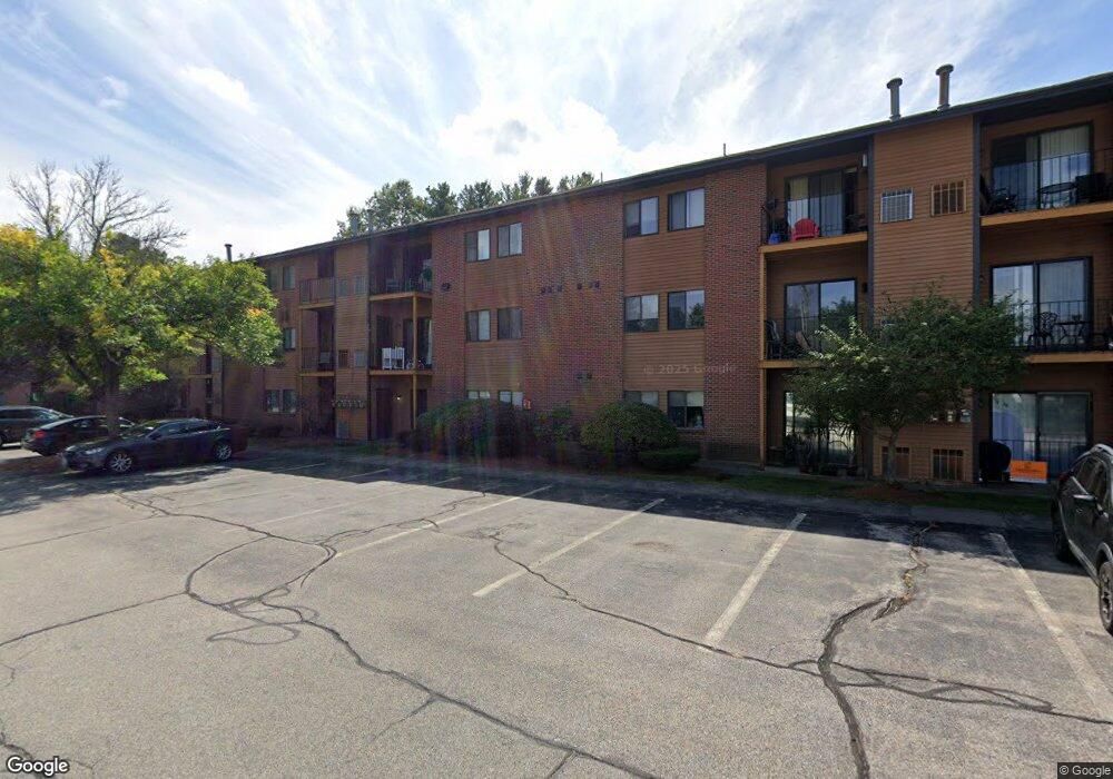
15 Blackstone Dr Unit U1526 Nashua, NH 03063
Northwest Nashua NeighborhoodEstimated Value: $272,000 - $290,000
2
Beds
1
Bath
912
Sq Ft
$309/Sq Ft
Est. Value
About This Home
This home is located at 15 Blackstone Dr Unit U1526, Nashua, NH 03063 and is currently estimated at $282,152, approximately $309 per square foot. 15 Blackstone Dr Unit U1526 is a home located in Hillsborough County with nearby schools including Birch Hill Elementary School, Pennichuck Middle School, and Nashua High School North.
Ownership History
Date
Name
Owned For
Owner Type
Purchase Details
Closed on
Jun 16, 2017
Sold by
Nadir Cheresse L
Bought by
Rz Property Rental Llc
Current Estimated Value
Purchase Details
Closed on
Jun 26, 2006
Sold by
Deutsche Bank Natl T C
Bought by
Nadir Cheress
Home Financials for this Owner
Home Financials are based on the most recent Mortgage that was taken out on this home.
Original Mortgage
$121,600
Interest Rate
6.59%
Mortgage Type
Purchase Money Mortgage
Create a Home Valuation Report for This Property
The Home Valuation Report is an in-depth analysis detailing your home's value as well as a comparison with similar homes in the area
Home Values in the Area
Average Home Value in this Area
Purchase History
| Date | Buyer | Sale Price | Title Company |
|---|---|---|---|
| Rz Property Rental Llc | $113,400 | -- | |
| Nadir Cheress | $128,000 | -- |
Source: Public Records
Mortgage History
| Date | Status | Borrower | Loan Amount |
|---|---|---|---|
| Previous Owner | Nadir Cheress | $109,100 | |
| Previous Owner | Nadir Cheress | $121,600 |
Source: Public Records
Tax History Compared to Growth
Tax History
| Year | Tax Paid | Tax Assessment Tax Assessment Total Assessment is a certain percentage of the fair market value that is determined by local assessors to be the total taxable value of land and additions on the property. | Land | Improvement |
|---|---|---|---|---|
| 2024 | $4,096 | $257,600 | $0 | $257,600 |
| 2023 | $4,016 | $220,300 | $0 | $220,300 |
| 2022 | $3,981 | $220,300 | $0 | $220,300 |
| 2021 | $3,063 | $131,900 | $0 | $131,900 |
| 2020 | $2,982 | $131,900 | $0 | $131,900 |
| 2019 | $2,870 | $131,900 | $0 | $131,900 |
| 2018 | $2,798 | $131,900 | $0 | $131,900 |
| 2017 | $2,233 | $86,600 | $0 | $86,600 |
| 2016 | $2,171 | $86,600 | $0 | $86,600 |
| 2015 | $2,124 | $86,600 | $0 | $86,600 |
| 2014 | $2,083 | $86,600 | $0 | $86,600 |
Source: Public Records
Map
Nearby Homes
- 201 Millwright Dr
- 3 Roedean Dr Unit C-207
- 5 Dumaine Ave Unit B
- 5 Dumaine Ave Unit N
- 75 Deerwood Dr Unit B
- 77 Deerwood Dr Unit E
- 66 Tinker Rd
- 26 Andover Down Unit 276
- 10 Drouin Way
- 38 Highbridge Hill Rd Unit 186
- 8 Pilgrim Cir
- 9 Cambridge Dr
- 123 Cannongate III
- 5 Chatfield Dr Unit U18
- 4 Jared Cir Unit U21
- 74 Profile Cir
- 15 Four Winds Rd
- 7 Robert Dr
- 11 Queens Way
- 47 Hanna Cir Unit 47
- 1535 Blackstone Dr
- 1534 Blackstone Dr Unit 34
- 15 Blackstone Dr Unit 24
- 15 Blackstone Dr Unit U1539
- 15 Blackstone Dr Unit U1538
- 15 Blackstone Dr Unit U1537
- 15 Blackstone Dr Unit U1536
- 15 Blackstone Dr Unit U1535
- 15 Blackstone Dr Unit U1534
- 15 Blackstone Dr Unit U1533
- 15 Blackstone Dr Unit U1532
- 15 Blackstone Dr Unit U1531
- 15 Blackstone Dr Unit U1530
- 15 Blackstone Dr Unit U1529
- 15 Blackstone Dr Unit U1528
- 15 Blackstone Dr Unit U1527
- 15 Blackstone Dr Unit U1525
- 15 Blackstone Dr Unit U1524
- 15 Blackstone Dr Unit U1523
- 15 Blackstone Dr Unit U1522