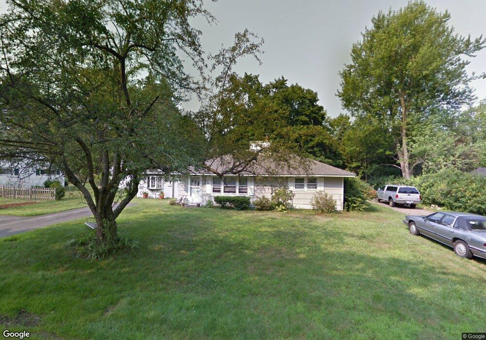
15 Blake Ave West Boylston, MA 01583
Estimated Value: $390,000 - $445,000
3
Beds
1
Bath
1,040
Sq Ft
$409/Sq Ft
Est. Value
About This Home
This home is located at 15 Blake Ave, West Boylston, MA 01583 and is currently estimated at $425,848, approximately $409 per square foot. 15 Blake Ave is a home located in Worcester County with nearby schools including Major Edwards Elementary School and West Boylston Junior/Senior High School.
Ownership History
Date
Name
Owned For
Owner Type
Purchase Details
Closed on
Oct 2, 2015
Sold by
Navarro Donna L
Bought by
Navarro Donna L and Navarro Joseph
Current Estimated Value
Purchase Details
Closed on
Dec 24, 1996
Sold by
Graves Helen M and Johnson Walter H
Bought by
Goudreau Donna L
Home Financials for this Owner
Home Financials are based on the most recent Mortgage that was taken out on this home.
Original Mortgage
$78,700
Interest Rate
7.62%
Mortgage Type
Purchase Money Mortgage
Create a Home Valuation Report for This Property
The Home Valuation Report is an in-depth analysis detailing your home's value as well as a comparison with similar homes in the area
Home Values in the Area
Average Home Value in this Area
Purchase History
| Date | Buyer | Sale Price | Title Company |
|---|---|---|---|
| Navarro Donna L | -- | -- | |
| Goudreau Donna L | $82,900 | -- |
Source: Public Records
Mortgage History
| Date | Status | Borrower | Loan Amount |
|---|---|---|---|
| Previous Owner | Goudreau Donna L | $105,000 | |
| Previous Owner | Goudreau Donna L | $20,000 | |
| Previous Owner | Goudreau Donna L | $78,700 |
Source: Public Records
Tax History Compared to Growth
Tax History
| Year | Tax Paid | Tax Assessment Tax Assessment Total Assessment is a certain percentage of the fair market value that is determined by local assessors to be the total taxable value of land and additions on the property. | Land | Improvement |
|---|---|---|---|---|
| 2025 | $47 | $340,600 | $96,400 | $244,200 |
| 2024 | $4,632 | $313,400 | $96,400 | $217,000 |
| 2023 | $4,595 | $294,900 | $95,800 | $199,100 |
| 2022 | $4,399 | $248,800 | $95,800 | $153,000 |
| 2021 | $3,244 | $232,200 | $92,200 | $140,000 |
| 2020 | $4,225 | $227,400 | $92,200 | $135,200 |
| 2019 | $3,064 | $212,100 | $92,200 | $119,900 |
| 2018 | $2,738 | $204,900 | $92,200 | $112,700 |
| 2017 | $2,700 | $184,300 | $92,200 | $92,100 |
| 2016 | $3,365 | $182,400 | $85,800 | $96,600 |
| 2015 | $3,235 | $176,400 | $85,000 | $91,400 |
Source: Public Records
Map
Nearby Homes
- 156 Prospect St
- 54 Maple St
- 20 Winthrop St
- 62 Maple St
- 16 N Main St
- 39 Davidson Rd
- 136 Sterling St Unit A3
- 23 Western Ave
- 287 Laurel St
- 47 Preservation Ln
- 1 Highland Ave
- 21 Wyoming Dr
- 12 Birchbrush Ln
- 1 Juneberry Ln Unit 82
- 39 Meola Ave
- 33 Meola Ave
- 93 Winfield Rd
- 15 Lowell Ave
- 33 Isleboro St
- Lot 1 Manning St
- 19 Blake Ave
- 11 Blake Ave
- 16 Blake Ave
- 6 Olde Century Farm Rd
- 7 Blake Ave
- 12 Blake Ave
- 20 Blake Ave
- 25 Blake Ave
- 24 Blake Ave
- 8 Blake Ave
- 4 Olde Century Farm Rd
- 148 Goodale St
- Lot 4 Olde Century Farm
- 142 Goodale St
- 8 Olde Century Farm Rd
- Lot 12 Olde Century Farm Rd
- Lot 19 Olde Century Farm Rd
- 136 Goodale St
- 27 Malden St
- 55 Malden St