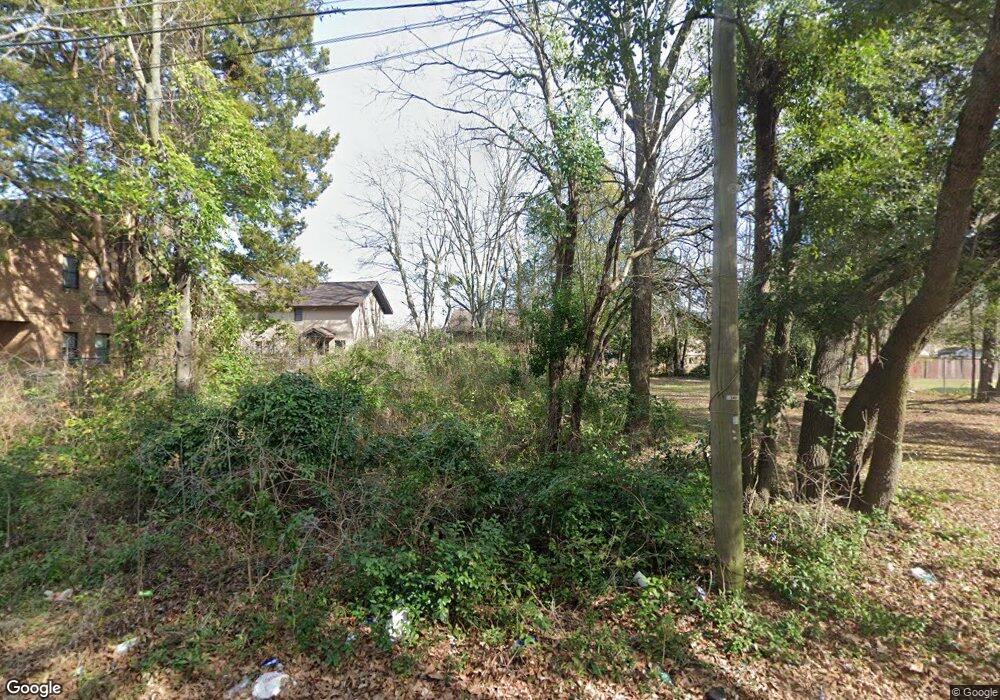
15 Branch St Sumter, SC 29150
Bates NeighborhoodEstimated Value: $138,000
1
Bed
1
Bath
640
Sq Ft
$216/Sq Ft
Est. Value
About This Home
This home is located at 15 Branch St, Sumter, SC 29150 and is currently estimated at $138,000, approximately $215 per square foot. 15 Branch St is a home located in Sumter County with nearby schools including Millwood Elementary School, Alice Drive Middle School, and Sumter High School.
Ownership History
Date
Name
Owned For
Owner Type
Purchase Details
Closed on
Jun 28, 2021
Sold by
Santee Lynches Regional Development Corp
Bought by
City Of Sumter
Current Estimated Value
Purchase Details
Closed on
May 8, 2017
Sold by
Forfeited Land Commission
Bought by
Santee Lynches Regional Development Corp
Create a Home Valuation Report for This Property
The Home Valuation Report is an in-depth analysis detailing your home's value as well as a comparison with similar homes in the area
Home Values in the Area
Average Home Value in this Area
Purchase History
| Date | Buyer | Sale Price | Title Company |
|---|---|---|---|
| City Of Sumter | -- | None Available | |
| Santee Lynches Regional Development Corp | $3,535 | None Available |
Source: Public Records
Tax History
| Year | Tax Paid | Tax Assessment Tax Assessment Total Assessment is a certain percentage of the fair market value that is determined by local assessors to be the total taxable value of land and additions on the property. | Land | Improvement |
|---|---|---|---|---|
| 2025 | -- | -- | -- | -- |
| 2024 | -- | -- | -- | -- |
| 2023 | -- | $180 | $180 | $0 |
| 2022 | $2 | $180 | $180 | $0 |
| 2021 | $2 | $180 | $180 | $0 |
| 2020 | $2 | $180 | $180 | $0 |
| 2019 | $2 | $180 | $180 | $0 |
| 2018 | $2 | $180 | $180 | $0 |
| 2017 | $70 | $180 | $180 | $0 |
| 2016 | $69 | $180 | $180 | $0 |
| 2015 | $29 | $210 | $210 | $0 |
| 2014 | $29 | $140 | $140 | $0 |
| 2013 | -- | $140 | $140 | $0 |
Source: Public Records
Map
Nearby Homes
- 9 Maney St
- 725 S Sumter St
- 706 Nelson St
- 207 Brand St
- 205 Brand St
- 416 Red and White St
- 312 Council St
- 718 Estate St
- 113 Laurel St
- 338 Ben St
- 13 Harrison St
- 126 Carver St
- 533 Dingle St
- 10 Earle St
- 998 S Main St
- 407 W Bartlette St
- 32 S Blanding St
- 109 Dugan St
- 2350 Daylilly St Unit Lot 161
- 2370 Daylilly St Unit Lot 159
Your Personal Tour Guide
Ask me questions while you tour the home.