15 Branglebrink Rd Saint James, NY 11780
Estimated Value: $1,610,000 - $2,538,000
3
Beds
4
Baths
5,475
Sq Ft
$397/Sq Ft
Est. Value
About This Home
This home is located at 15 Branglebrink Rd, Saint James, NY 11780 and is currently estimated at $2,173,667, approximately $397 per square foot. 15 Branglebrink Rd is a home located in Suffolk County with nearby schools including Dogwood Elementary School, Ss Philip & James School, and Harbor Country Day School.
Ownership History
Date
Name
Owned For
Owner Type
Purchase Details
Closed on
Sep 26, 2000
Sold by
Mee Timothy F and Mee Valerie D
Bought by
Kelly John and Kelly Susan
Current Estimated Value
Home Financials for this Owner
Home Financials are based on the most recent Mortgage that was taken out on this home.
Original Mortgage
$400,000
Interest Rate
7.01%
Mortgage Type
Purchase Money Mortgage
Purchase Details
Closed on
Sep 29, 1994
Sold by
Mee Timothy F and Mee Valerie D
Bought by
Mee Timothy F and Mee Valerie D
Create a Home Valuation Report for This Property
The Home Valuation Report is an in-depth analysis detailing your home's value as well as a comparison with similar homes in the area
Home Values in the Area
Average Home Value in this Area
Purchase History
| Date | Buyer | Sale Price | Title Company |
|---|---|---|---|
| Kelly John | $600,000 | Stewart Title | |
| Kelly John | $600,000 | Stewart Title | |
| Mee Timothy F | -- | Fidelity National Title | |
| Mee Timothy F | -- | Fidelity National Title |
Source: Public Records
Mortgage History
| Date | Status | Borrower | Loan Amount |
|---|---|---|---|
| Previous Owner | Kelly John | $400,000 |
Source: Public Records
Tax History
| Year | Tax Paid | Tax Assessment Tax Assessment Total Assessment is a certain percentage of the fair market value that is determined by local assessors to be the total taxable value of land and additions on the property. | Land | Improvement |
|---|---|---|---|---|
| 2024 | $36,812 | $15,200 | $1,200 | $14,000 |
| 2023 | $33,461 | $15,200 | $1,200 | $14,000 |
| 2022 | $27,390 | $15,200 | $1,200 | $14,000 |
| 2021 | $27,390 | $15,200 | $1,200 | $14,000 |
| 2020 | $29,651 | $15,200 | $1,200 | $14,000 |
| 2019 | $29,651 | $0 | $0 | $0 |
| 2018 | -- | $15,200 | $1,200 | $14,000 |
| 2017 | $27,759 | $15,200 | $1,200 | $14,000 |
| 2016 | $27,466 | $15,200 | $1,200 | $14,000 |
| 2015 | -- | $15,200 | $1,200 | $14,000 |
| 2014 | -- | $15,200 | $1,200 | $14,000 |
Source: Public Records
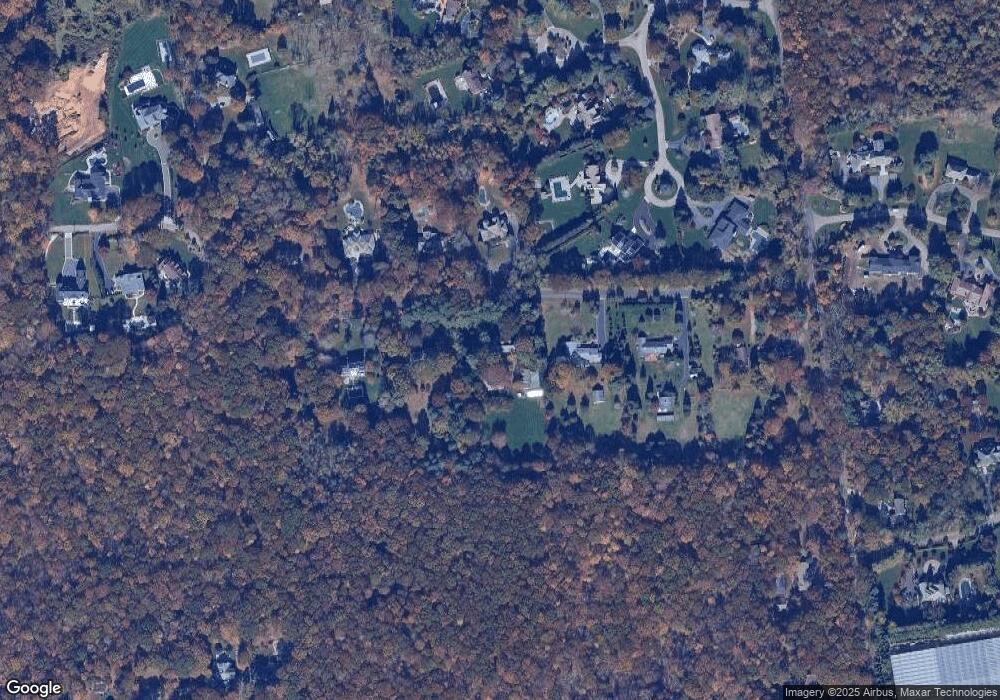
Map
Nearby Homes
- 550 Moriches Rd
- 260 Old Mill Rd
- 1 Fifty Acre Ct
- 474 Route 25A
- 8 Steep Bank Rd
- 9 Swan Place
- 3 Livingston St
- 36 Vanderbilt Ave
- 0 Laurel Hill Path
- 18 Watercrest Ct
- 1 Spring Hollow Rd
- 120 4th St
- 122 4th St
- 173 Fifty Acre Rd S
- 37 Bridle Path
- 277 River Rd
- 50 7th St
- 326 Nissequogue River Rd
- 326A River Rd
- 22 Hill Rd
- 31 Branglebrink Rd
- 21 Branglebrink Rd
- 9 Branglebrink Rd
- 34 Branglebrink Rd
- 16 Branglebrink Rd
- 14 Branglebrink Rd
- 5 Branglebrink Rd
- 5 Meadow Gate W
- 5 Meadow Gate W
- 24 Branglebrink Rd
- 0 Branglebrink Rd Unit P1228637
- 0 Branglebrink Rd Unit 2723216
- 6 Meadow Gate W
- 29 Branglebrink Rd
- 26 Branglebrink Rd
- 4 Meadow Gate W
- 57 S Fifth Acre Rd
- 57 S Fifth Acre Rd
- 3 Meadow Gate W
Your Personal Tour Guide
Ask me questions while you tour the home.