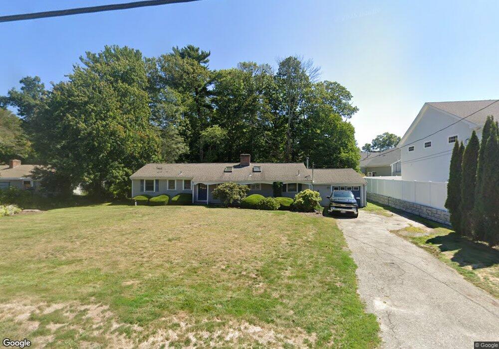
15 Brewster Rd Cohasset, MA 02025
Estimated Value: $714,000 - $841,000
3
Beds
2
Baths
1,450
Sq Ft
$524/Sq Ft
Est. Value
About This Home
This home is located at 15 Brewster Rd, Cohasset, MA 02025 and is currently estimated at $760,374, approximately $524 per square foot. 15 Brewster Rd is a home located in Norfolk County with nearby schools including Joseph Osgood School, Deer Hill School, and Cohasset Middle School.
Ownership History
Date
Name
Owned For
Owner Type
Purchase Details
Closed on
Dec 27, 2011
Sold by
Buckley Marie E
Bought by
Buckley T T and Buckley B
Current Estimated Value
Purchase Details
Closed on
Sep 1, 2006
Sold by
Coppleson Lindsay J M and Pereira Lindsay J
Bought by
Buckley Marie E
Home Financials for this Owner
Home Financials are based on the most recent Mortgage that was taken out on this home.
Original Mortgage
$300,000
Interest Rate
6.83%
Mortgage Type
Purchase Money Mortgage
Purchase Details
Closed on
Sep 1, 2004
Sold by
Oconnell Shelia E
Bought by
Coppleson Lindsay Jm
Home Financials for this Owner
Home Financials are based on the most recent Mortgage that was taken out on this home.
Original Mortgage
$278,250
Interest Rate
6.01%
Mortgage Type
Purchase Money Mortgage
Create a Home Valuation Report for This Property
The Home Valuation Report is an in-depth analysis detailing your home's value as well as a comparison with similar homes in the area
Home Values in the Area
Average Home Value in this Area
Purchase History
| Date | Buyer | Sale Price | Title Company |
|---|---|---|---|
| Buckley T T | -- | -- | |
| Buckley T T | -- | -- | |
| Buckley Marie E | $400,000 | -- | |
| Buckley Marie E | $400,000 | -- | |
| Coppleson Lindsay Jm | $397,500 | -- | |
| Coppleson Lindsay Jm | $397,500 | -- |
Source: Public Records
Mortgage History
| Date | Status | Borrower | Loan Amount |
|---|---|---|---|
| Previous Owner | Buckley Marie E | $300,000 | |
| Previous Owner | Coppleson Lindsay Jm | $278,250 |
Source: Public Records
Tax History Compared to Growth
Tax History
| Year | Tax Paid | Tax Assessment Tax Assessment Total Assessment is a certain percentage of the fair market value that is determined by local assessors to be the total taxable value of land and additions on the property. | Land | Improvement |
|---|---|---|---|---|
| 2025 | $6,030 | $520,700 | $276,100 | $244,600 |
| 2024 | $5,506 | $452,400 | $207,800 | $244,600 |
| 2023 | $5,243 | $444,300 | $207,700 | $236,600 |
| 2022 | $5,234 | $416,700 | $201,100 | $215,600 |
| 2021 | $5,328 | $408,600 | $201,100 | $207,500 |
| 2020 | $5,300 | $408,600 | $201,100 | $207,500 |
| 2019 | $5,271 | $408,600 | $201,100 | $207,500 |
| 2018 | $5,226 | $408,600 | $201,100 | $207,500 |
| 2017 | $4,937 | $378,000 | $182,800 | $195,200 |
| 2016 | $4,869 | $378,000 | $182,800 | $195,200 |
| 2015 | $4,804 | $378,000 | $182,800 | $195,200 |
| 2014 | $4,740 | $378,000 | $182,800 | $195,200 |
Source: Public Records
Map
Nearby Homes
- 40 Brewster Rd
- 392 S Main St
- 817 Country Way
- 309 S Main St
- 84 Booth Hill Rd
- 8 Trudys Ln
- 100 Pond St Unit 10
- 46 Pond St
- 26 Mordecai Lincoln Rd
- 11 Forest Ln
- 9 Forest Ln Unit 9
- 40 Pond St
- 212 S Main St
- 73 Pond St
- 0 Bates Ln (Lot E Kevin's Way) Unit 73419598
- 68 Black Horse Ln
- 70 Black Horse Ln
- 98 Black Horse Ln
- 26 Ash St
- 508 Beechwood St
- 21 Brewster Rd
- 808 Chief Justice Cushing Hwy
- 808 Chief Justice Cushing Hwy Unit 4
- 8 Brewster Rd
- 8 Brewster Rd Unit 1
- 812 Chief Justice Cushing Hwy Unit 4
- 812 Chief Justice Cushing Hwy Unit 2
- 812 Chief Justice Cushing Hwy
- 25 Brewster Rd
- 20 Brewster Rd
- 26 Brewster Rd
- 31 Brewster Rd
- 34 Brewster Rd
- 807 Chief Justice Cushing Hwy
- 7 Marion Way
- 15 Marion Way
- 41 Brewster Rd
- 827 Chief Justice Cushing Hwy
- 9 Ledge Way
- 46 Brewster Rd