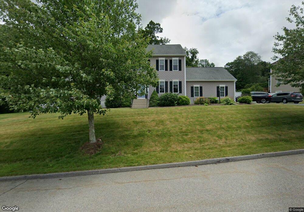
15 Bridle Path Auburn, MA 01501
West Auburn NeighborhoodEstimated Value: $773,000 - $845,000
3
Beds
3
Baths
1,890
Sq Ft
$422/Sq Ft
Est. Value
About This Home
This home is located at 15 Bridle Path, Auburn, MA 01501 and is currently estimated at $797,177, approximately $421 per square foot. 15 Bridle Path is a home located in Worcester County with nearby schools including Auburn Senior High School and Shrewsbury Montessori School - Auburn Campus.
Ownership History
Date
Name
Owned For
Owner Type
Purchase Details
Closed on
Apr 25, 2011
Sold by
Mcmahon Ryan J and Mcmahon Renne J
Bought by
Mcmahon Ryan J and Mcmahon Renne J
Current Estimated Value
Purchase Details
Closed on
May 27, 2010
Sold by
Emerson Homes Inc
Bought by
Mcmahon Ryan J and Beaudette Renee J
Home Financials for this Owner
Home Financials are based on the most recent Mortgage that was taken out on this home.
Original Mortgage
$344,100
Interest Rate
5.13%
Mortgage Type
Purchase Money Mortgage
Create a Home Valuation Report for This Property
The Home Valuation Report is an in-depth analysis detailing your home's value as well as a comparison with similar homes in the area
Home Values in the Area
Average Home Value in this Area
Purchase History
| Date | Buyer | Sale Price | Title Company |
|---|---|---|---|
| Mcmahon Ryan J | -- | -- | |
| Mcmahon Ryan J | $382,350 | -- | |
| Emerson Homes Inc | $115,000 | -- |
Source: Public Records
Mortgage History
| Date | Status | Borrower | Loan Amount |
|---|---|---|---|
| Previous Owner | Mcmahon Ryan J | $344,100 |
Source: Public Records
Tax History Compared to Growth
Tax History
| Year | Tax Paid | Tax Assessment Tax Assessment Total Assessment is a certain percentage of the fair market value that is determined by local assessors to be the total taxable value of land and additions on the property. | Land | Improvement |
|---|---|---|---|---|
| 2025 | $100 | $698,200 | $177,500 | $520,700 |
| 2024 | $10,139 | $679,100 | $170,900 | $508,200 |
| 2023 | $8,883 | $559,400 | $145,000 | $414,400 |
| 2022 | $8,069 | $479,700 | $145,000 | $334,700 |
| 2021 | $7,746 | $427,000 | $118,900 | $308,100 |
| 2020 | $7,677 | $427,000 | $118,900 | $308,100 |
| 2019 | $7,591 | $412,100 | $117,800 | $294,300 |
| 2018 | $7,485 | $405,900 | $110,200 | $295,700 |
| 2017 | $7,255 | $395,600 | $99,900 | $295,700 |
| 2016 | $7,079 | $391,300 | $103,000 | $288,300 |
| 2015 | $6,676 | $386,800 | $103,000 | $283,800 |
| 2014 | $6,568 | $379,900 | $98,300 | $281,600 |
Source: Public Records
Map
Nearby Homes
- 217 Prospect St
- 48 Appleton Rd
- 0 Athens St
- 4 Linden Ln
- 808 Washington St
- 2 Sherman Ave
- 23 Thayer Pond Dr Unit 1
- 24 Thayer Pond Dr Unit 16
- 28 Thayer Pond Dr Unit 12
- 34 Thayer Pond Dr Unit 8
- 20 Leicester St
- 31-37 Leicester St
- 45 Leicester St
- 9 Wallace Ct
- 21 Linda Ave
- 137 South St
- 19 Virginia Dr Unit 19
- 620 Henshaw St
- 6 Ryans Way Unit 6
- 57 Coughlin Rd