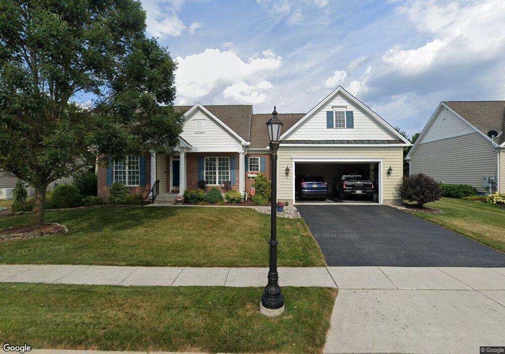
15 Bristol Dr Unit 119 Hanover, PA 17331
Estimated Value: $439,000 - $498,000
3
Beds
3
Baths
2,297
Sq Ft
$200/Sq Ft
Est. Value
About This Home
This home is located at 15 Bristol Dr Unit 119, Hanover, PA 17331 and is currently estimated at $459,971, approximately $200 per square foot. 15 Bristol Dr Unit 119 is a home located in Adams County with nearby schools including New Oxford Senior High School, St. Teresa of Calcutta Catholic School - McSherrystown Campus, and St. Teresa of Calcutta Catholic School - Conewago Campus.
Ownership History
Date
Name
Owned For
Owner Type
Purchase Details
Closed on
May 11, 2006
Sold by
Harvest Investment Group Llc
Bought by
Butler Wayne M and Butler Suzanne G
Current Estimated Value
Home Financials for this Owner
Home Financials are based on the most recent Mortgage that was taken out on this home.
Original Mortgage
$339,800
Outstanding Balance
$198,929
Interest Rate
6.59%
Mortgage Type
Credit Line Revolving
Estimated Equity
$261,042
Create a Home Valuation Report for This Property
The Home Valuation Report is an in-depth analysis detailing your home's value as well as a comparison with similar homes in the area
Home Values in the Area
Average Home Value in this Area
Purchase History
| Date | Buyer | Sale Price | Title Company |
|---|---|---|---|
| Butler Wayne M | $377,984 | -- |
Source: Public Records
Mortgage History
| Date | Status | Borrower | Loan Amount |
|---|---|---|---|
| Open | Butler Wayne M | $339,800 |
Source: Public Records
Tax History Compared to Growth
Tax History
| Year | Tax Paid | Tax Assessment Tax Assessment Total Assessment is a certain percentage of the fair market value that is determined by local assessors to be the total taxable value of land and additions on the property. | Land | Improvement |
|---|---|---|---|---|
| 2025 | $7,783 | $325,000 | $60,600 | $264,400 |
| 2024 | $7,189 | $325,000 | $60,600 | $264,400 |
| 2023 | $6,923 | $325,000 | $60,600 | $264,400 |
| 2022 | $6,711 | $325,000 | $60,600 | $264,400 |
| 2021 | $6,539 | $325,000 | $60,600 | $264,400 |
| 2020 | $6,549 | $325,000 | $60,600 | $264,400 |
| 2019 | $6,255 | $325,000 | $60,600 | $264,400 |
| 2018 | $6,123 | $325,000 | $60,600 | $264,400 |
| 2017 | $5,871 | $325,000 | $60,600 | $264,400 |
| 2016 | -- | $325,000 | $60,600 | $264,400 |
| 2015 | -- | $325,000 | $60,600 | $264,400 |
| 2014 | -- | $325,000 | $60,600 | $264,400 |
Source: Public Records
Map
Nearby Homes
- 303 Puma Dr Unit 22
- 129 Main St
- 337 2 Main
- 46 Flint Dr
- 54 Flint Dr
- 62 Flint Dr
- 335 North St
- 65 Flint Dr
- 11 Flint Dr
- 303 Ridge Ave
- 24 Red Stone Ln Unit 47
- 24 Red Stone Ln
- 84 Red Stone Ln Unit 41
- 617 N Blettner Ave Unit 120
- 92 Red Stone Ln Unit 40
- 417 Main St
- 41 Buckskin
- 105 Flint Dr
- 108 Flint Dr
- 11 Shawl Dr
- 23 Bristol Dr Unit 118
- 9 Bristol Dr Unit 120
- 23 Sterling Dr Unit 108
- 33 Bristol Dr Unit 117
- 5 Bristol Dr Unit 121
- 35 Sterling Dr Unit 106
- 192 Stafford Dr Unit 122
- 15 Sterling Dr Unit 109
- 20 Bristol Dr Unit 123
- 27 Sterling Dr Unit 107
- 43 Bristol Dr Unit 116
- 45 Sterling Dr Unit 105
- 30 Bristol Dr Unit 124
- 182 Stafford Dr Unit 136
- 51 Sterling Dr Unit 104
- 24 Sterling Dr Unit 101
- 16 Sterling Dr Unit 102
- 9 Sterling Dr Unit 110
- 40 Bristol Dr Unit 125
- 36 Sterling Dr Unit 99