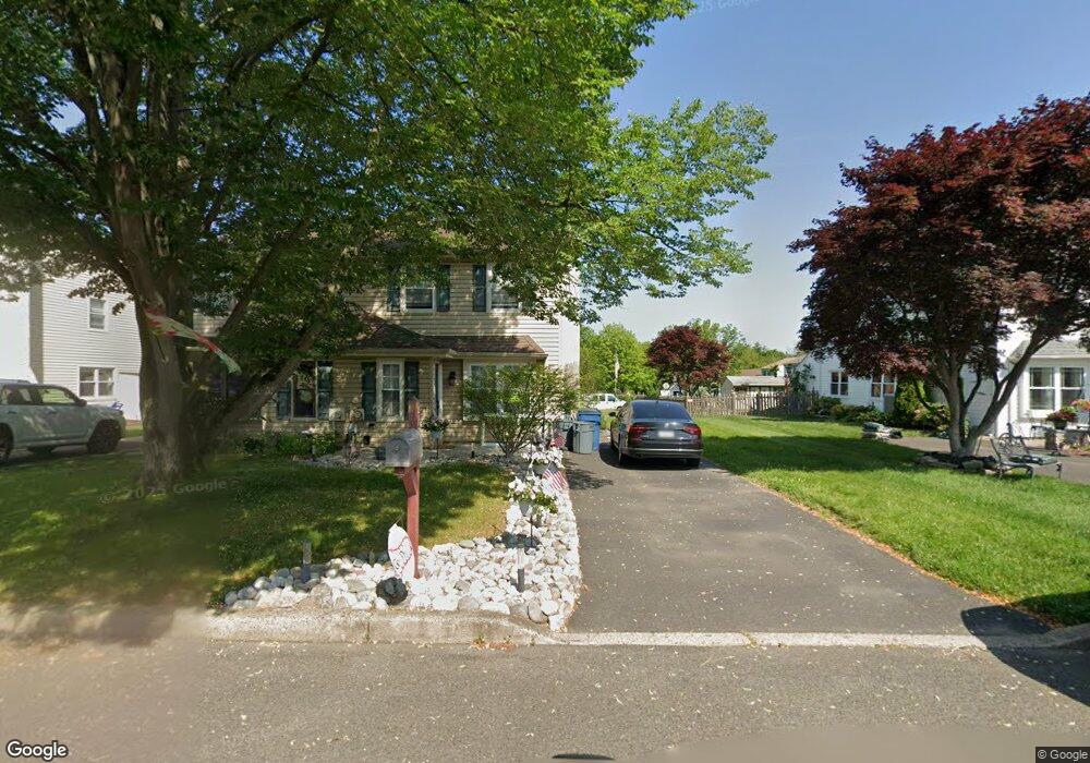
15 Brownstone Dr Horsham, PA 19044
Estimated Value: $381,000 - $444,000
3
Beds
2
Baths
1,396
Sq Ft
$295/Sq Ft
Est. Value
About This Home
This home is located at 15 Brownstone Dr, Horsham, PA 19044 and is currently estimated at $412,015, approximately $295 per square foot. 15 Brownstone Dr is a home located in Montgomery County with nearby schools including Hallowell Elementary School, Keith Valley Middle School, and Hatboro-Horsham Senior High School.
Ownership History
Date
Name
Owned For
Owner Type
Purchase Details
Closed on
Oct 13, 2006
Sold by
Higgins Brian R and Taylor Jennifer L
Bought by
Higgins Jennifer L and Higgins Brian R
Current Estimated Value
Home Financials for this Owner
Home Financials are based on the most recent Mortgage that was taken out on this home.
Original Mortgage
$156,000
Outstanding Balance
$93,191
Interest Rate
6.48%
Estimated Equity
$318,824
Purchase Details
Closed on
Apr 30, 2001
Sold by
Rossiter Edward R and Rossiter Nancy H
Bought by
Higgins Brian R and Taylor Jennifer L
Create a Home Valuation Report for This Property
The Home Valuation Report is an in-depth analysis detailing your home's value as well as a comparison with similar homes in the area
Home Values in the Area
Average Home Value in this Area
Purchase History
| Date | Buyer | Sale Price | Title Company |
|---|---|---|---|
| Higgins Jennifer L | -- | None Available | |
| Higgins Brian R | $129,000 | -- |
Source: Public Records
Mortgage History
| Date | Status | Borrower | Loan Amount |
|---|---|---|---|
| Open | Higgins Jennifer L | $156,000 |
Source: Public Records
Tax History Compared to Growth
Tax History
| Year | Tax Paid | Tax Assessment Tax Assessment Total Assessment is a certain percentage of the fair market value that is determined by local assessors to be the total taxable value of land and additions on the property. | Land | Improvement |
|---|---|---|---|---|
| 2025 | $4,312 | $109,710 | $21,690 | $88,020 |
| 2024 | $4,312 | $109,710 | $21,690 | $88,020 |
| 2023 | $4,106 | $109,710 | $21,690 | $88,020 |
| 2022 | $3,972 | $109,710 | $21,690 | $88,020 |
| 2021 | $3,878 | $109,710 | $21,690 | $88,020 |
| 2020 | $3,786 | $109,710 | $21,690 | $88,020 |
| 2019 | $3,714 | $109,710 | $21,690 | $88,020 |
| 2018 | $2,854 | $109,710 | $21,690 | $88,020 |
| 2017 | $3,548 | $109,710 | $21,690 | $88,020 |
| 2016 | $3,505 | $109,710 | $21,690 | $88,020 |
| 2015 | $3,348 | $109,710 | $21,690 | $88,020 |
| 2014 | $3,348 | $109,710 | $21,690 | $88,020 |
Source: Public Records
Map
Nearby Homes
- 585 Colonial Dr
- 311 Green Meadow Ln
- 3 Emily Ct
- 43 Black Watch Ct
- 300 Witmer Rd
- 45 Ember Ln
- 4 Barley Way
- 454 1/2 Avenue A Unit A
- 80 Whetstone Rd
- 1733 Waterford Way
- 42 Windsor Pass Unit 42
- 4 Beaver Hill Rd
- 221 Winchester Dr
- 1410 Patrick Ct
- 237 Magnolia St
- 240 Roberts Ave
- 1391 Dawn Dr
- 996 Whitney Ln
- 1608 Kings Cir
- 474 Easton Rd
- 13 Brownstone Dr
- 17 Brownstone Dr
- 11 Brownstone Dr
- 19 Brownstone Dr
- 9 Brownstone Dr
- 7 Brownstone Dr
- 21 Brownstone Dr
- 5 Brownstone Dr
- 1 Goldenrod Ln
- 3 Brownstone Dr
- 23 Brownstone Dr
- 16 Brownstone Dr
- 25 Brownstone Dr
- 14 Brownstone Dr
- 12 Brownstone Dr
- 18 Brownstone Dr
- 10 Brownstone Dr
- 2 Goldenrod Ln
- 1 Brownstone Dr
- 3 Goldenrod Ln