15 Bryants Point Moultonborough, NH 03254
Estimated Value: $1,989,796 - $2,237,000
3
Beds
2
Baths
3,312
Sq Ft
$651/Sq Ft
Est. Value
About This Home
This home is located at 15 Bryants Point, Moultonborough, NH 03254 and is currently estimated at $2,154,599, approximately $650 per square foot. 15 Bryants Point is a home located in Carroll County with nearby schools including Moultonborough Central School and Moultonborough Academy High School.
Ownership History
Date
Name
Owned For
Owner Type
Purchase Details
Closed on
Dec 27, 2022
Sold by
Neff Bruce and Neff Sandra
Bought by
W B
Current Estimated Value
Create a Home Valuation Report for This Property
The Home Valuation Report is an in-depth analysis detailing your home's value as well as a comparison with similar homes in the area
Home Values in the Area
Average Home Value in this Area
Purchase History
| Date | Buyer | Sale Price | Title Company |
|---|---|---|---|
| W B | -- | None Available |
Source: Public Records
Tax History Compared to Growth
Tax History
| Year | Tax Paid | Tax Assessment Tax Assessment Total Assessment is a certain percentage of the fair market value that is determined by local assessors to be the total taxable value of land and additions on the property. | Land | Improvement |
|---|---|---|---|---|
| 2024 | $10,670 | $1,888,500 | $1,309,400 | $579,100 |
| 2023 | $9,911 | $1,738,800 | $1,169,100 | $569,700 |
| 2022 | $7,175 | $1,501,000 | $1,019,400 | $481,600 |
| 2021 | $8,354 | $1,196,800 | $779,700 | $417,100 |
| 2020 | $7,763 | $1,088,800 | $701,700 | $387,100 |
| 2019 | $7,296 | $1,020,400 | $681,800 | $338,600 |
| 2018 | $7,076 | $916,600 | $584,400 | $332,200 |
| 2017 | $7,373 | $896,900 | $584,400 | $312,500 |
| 2016 | $7,495 | $857,500 | $564,900 | $292,600 |
| 2015 | $7,241 | $803,700 | $532,700 | $271,000 |
| 2014 | $7,803 | $880,700 | $564,900 | $315,800 |
| 2013 | $7,653 | $880,700 | $564,900 | $315,800 |
Source: Public Records
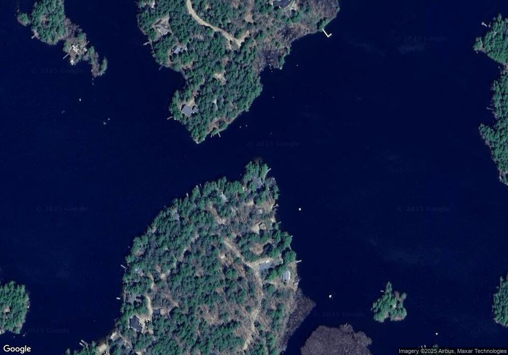
Map
Nearby Homes
- 2 Little Badger Island
- 46 Toltec Point Rd
- 122 Toltec Point Rd
- 28 Moose Walk
- 0 Moose Walk
- 65.1 Gansy Island
- 00 Grande St Unit 44
- 7 Eden Ln
- 11 Geery Ln
- 24 Sunrise Dr
- 69 Buoniello Rd
- 37 Mayflower Ln
- 4 Schneider Rd
- 00 Sundorf St Unit 117
- 0 Sundorf St Unit 901 5009559
- 67 Hoyt Mill Rd
- 72 Sundorf St
- 21 Orton Ln
- 4 Orton Ln
- 647 Whittier Hwy
- 11 Bryants Point
- 14 Bryants Point
- 9 Bryants Point
- 7 Bryants Point
- 396 Wentworth Shores Rd
- 398 Wentworth Shores Rd
- 392 Wentworth Shores Rd
- 388 Fox Hollow Rd
- 390 Wentworth Shores Rd
- 400 Wentworth Shores Rd
- 386 Wentworth Shores Rd
- 386 Fox Hollow Rd
- 402 Wentworth Shores Rd
- 416 Wentworth Shores Rd
- 384 Fox Hollow Rd
- 420 Wentworth Shores Rd
- 424 Wentworth Shores Rd
- 378 Fox Hollow Rd
- 2 Basin Island
- 430 Wentworth Shores Rd