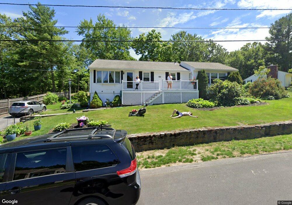
15 Capt Peter Simpson Rd Millbury, MA 01527
Armory Village NeighborhoodEstimated Value: $447,140 - $492,000
3
Beds
3
Baths
1,230
Sq Ft
$376/Sq Ft
Est. Value
About This Home
This home is located at 15 Capt Peter Simpson Rd, Millbury, MA 01527 and is currently estimated at $462,035, approximately $375 per square foot. 15 Capt Peter Simpson Rd is a home located in Worcester County with nearby schools including Elmwood Street School, Raymond E. Shaw Elementary School, and Millbury Junior/Senior High School.
Ownership History
Date
Name
Owned For
Owner Type
Purchase Details
Closed on
Aug 29, 2023
Sold by
Tabor Jeffrey J
Bought by
Tabor Rt and Tabor
Current Estimated Value
Purchase Details
Closed on
Aug 3, 2023
Sold by
Tabor Nancy C
Bought by
Tabor Jeffrey J
Create a Home Valuation Report for This Property
The Home Valuation Report is an in-depth analysis detailing your home's value as well as a comparison with similar homes in the area
Home Values in the Area
Average Home Value in this Area
Purchase History
| Date | Buyer | Sale Price | Title Company |
|---|---|---|---|
| Tabor Rt | -- | None Available | |
| Tabor Rt | -- | None Available | |
| Tabor Jeffrey J | -- | None Available | |
| Tabor Jeffrey J | -- | None Available |
Source: Public Records
Tax History Compared to Growth
Tax History
| Year | Tax Paid | Tax Assessment Tax Assessment Total Assessment is a certain percentage of the fair market value that is determined by local assessors to be the total taxable value of land and additions on the property. | Land | Improvement |
|---|---|---|---|---|
| 2025 | $5,343 | $399,000 | $112,500 | $286,500 |
| 2024 | $4,845 | $366,200 | $104,200 | $262,000 |
| 2023 | $4,397 | $304,300 | $73,100 | $231,200 |
| 2022 | $4,223 | $281,500 | $73,100 | $208,400 |
| 2021 | $4,135 | $268,000 | $73,100 | $194,900 |
| 2020 | $4,032 | $263,000 | $73,100 | $189,900 |
| 2019 | $3,869 | $244,100 | $66,400 | $177,700 |
| 2018 | $3,631 | $222,200 | $66,400 | $155,800 |
| 2017 | $3,598 | $219,000 | $66,400 | $152,600 |
| 2016 | $3,353 | $203,700 | $66,400 | $137,300 |
| 2015 | $3,368 | $204,600 | $70,600 | $134,000 |
| 2014 | $3,182 | $186,100 | $70,600 | $115,500 |
Source: Public Records
Map
Nearby Homes
- 4 Thomas Hill Rd
- 19 Rice Rd
- 2 Jessica j Dr
- 16 Jackie Dr
- 5 Mogren Dr
- 4 Jessica j Dr
- 39 S Main St
- 128 Worcester Providence Turnpike
- 124 Worcester Providence Turnpike
- 37-39 Main St
- 38 W Main St
- 40 River St
- Lot 1 Cooper Rd
- 8 Autumn Gate Cir
- 18 Lincoln Ave
- 168 Burbank Rd
- 123 Riverlin St
- 126 Burbank Rd
- 150 Ariel Cir
- 115 Ariel Cir
- 17 Capt Peter Simpson Rd
- 13 Capt Peter Simpson Rd
- 12 Capt Peter Simpson Rd
- 19 Capt Peter Simpson Rd
- 11 Capt Peter Simpson Rd
- 14 Capt Peter Simpson Rd
- 16 Capt Peter Simpson Rd
- 14 Thomas Hill Rd
- 18 Capt Peter Simpson Rd
- 7 Capt Peter Simpson Rd
- 7 Captain Peter Simpson Rd
- 12 Thomas Hill Rd
- 13 Thomas Hill Rd
- 5 Capt Peter Simpson Rd
- 5 Capt Peter Simpson Rd Unit B
- 4 Capt Peter Simpson Rd
- 11 Thomas Hill Rd
- 8 Thomas Hill Rd
- 99 S Main St
- 97 S Main St