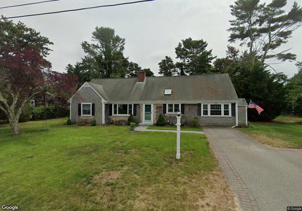
15 Captain Nickerson Rd South Yarmouth, MA 02664
Estimated Value: $623,000 - $701,000
4
Beds
2
Baths
1,714
Sq Ft
$387/Sq Ft
Est. Value
About This Home
This home is located at 15 Captain Nickerson Rd, South Yarmouth, MA 02664 and is currently estimated at $663,200, approximately $386 per square foot. 15 Captain Nickerson Rd is a home located in Barnstable County with nearby schools including Dennis-Yarmouth Regional High School and St. Pius X. School.
Ownership History
Date
Name
Owned For
Owner Type
Purchase Details
Closed on
Aug 6, 2012
Sold by
Leo Mamie J
Bought by
Wilchynski Matthew E
Current Estimated Value
Home Financials for this Owner
Home Financials are based on the most recent Mortgage that was taken out on this home.
Original Mortgage
$240,000
Outstanding Balance
$166,495
Interest Rate
3.7%
Mortgage Type
New Conventional
Estimated Equity
$496,705
Create a Home Valuation Report for This Property
The Home Valuation Report is an in-depth analysis detailing your home's value as well as a comparison with similar homes in the area
Home Values in the Area
Average Home Value in this Area
Purchase History
| Date | Buyer | Sale Price | Title Company |
|---|---|---|---|
| Wilchynski Matthew E | $300,000 | -- |
Source: Public Records
Mortgage History
| Date | Status | Borrower | Loan Amount |
|---|---|---|---|
| Open | Wilchynski Matthew E | $240,000 |
Source: Public Records
Tax History Compared to Growth
Tax History
| Year | Tax Paid | Tax Assessment Tax Assessment Total Assessment is a certain percentage of the fair market value that is determined by local assessors to be the total taxable value of land and additions on the property. | Land | Improvement |
|---|---|---|---|---|
| 2025 | $3,957 | $558,900 | $178,900 | $380,000 |
| 2024 | $3,633 | $492,300 | $151,300 | $341,000 |
| 2023 | $3,431 | $423,000 | $131,000 | $292,000 |
| 2022 | $3,089 | $336,500 | $119,000 | $217,500 |
| 2021 | $3,042 | $318,200 | $119,000 | $199,200 |
| 2020 | $2,943 | $294,300 | $119,000 | $175,300 |
| 2019 | $2,759 | $273,200 | $119,000 | $154,200 |
| 2018 | $2,630 | $255,600 | $101,400 | $154,200 |
| 2017 | $2,517 | $251,200 | $97,000 | $154,200 |
| 2016 | $2,419 | $242,400 | $88,200 | $154,200 |
| 2015 | $2,223 | $221,400 | $88,200 | $133,200 |
Source: Public Records
Map
Nearby Homes
- 75 Captain York Rd
- 76 Captain Chase Rd
- 33 Sparrow Way
- 147 Captain Bacon Rd
- 0 Forsyth Ave
- 72 Quartermaster Row
- 30 Quartermaster Row
- 6 Billingsgate Rd
- 97 Astor Way
- 4 Raymond Ave
- 140 Diane Ave
- 338 Forest Rd
- 255 Long Pond Dr
- 38 Autumn Dr
- 7 Sunset Pines Rd
- 55 Lower Brook Rd
- 15 Sharon Rd
- 5 Miriah Dr
- 22 Powhatan Rd
- 19 Captain Nickerson Rd
- 9 Captain Nickerson Rd
- 18 Captain Small Rd
- 22 Captain Small Rd
- 14 Captain Small Rd
- 14 Captain Nickerson Rd
- 20 Captain Nickerson Rd
- 23 Captain Nickerson Rd
- 24 Captain Nickerson Rd
- 6 Captain Nickerson Rd
- 26 Captain Small Rd
- 10 Capt Small Rd
- 10 Captain Small Rd
- 5 Captain Nickerson Rd
- 17 Captain Small Rd
- 21 Captain Small Rd
- 321 Station Ave
- 162 Witchwood Rd
- 156 Witchwood Rd
- 6 Captain Small Rd