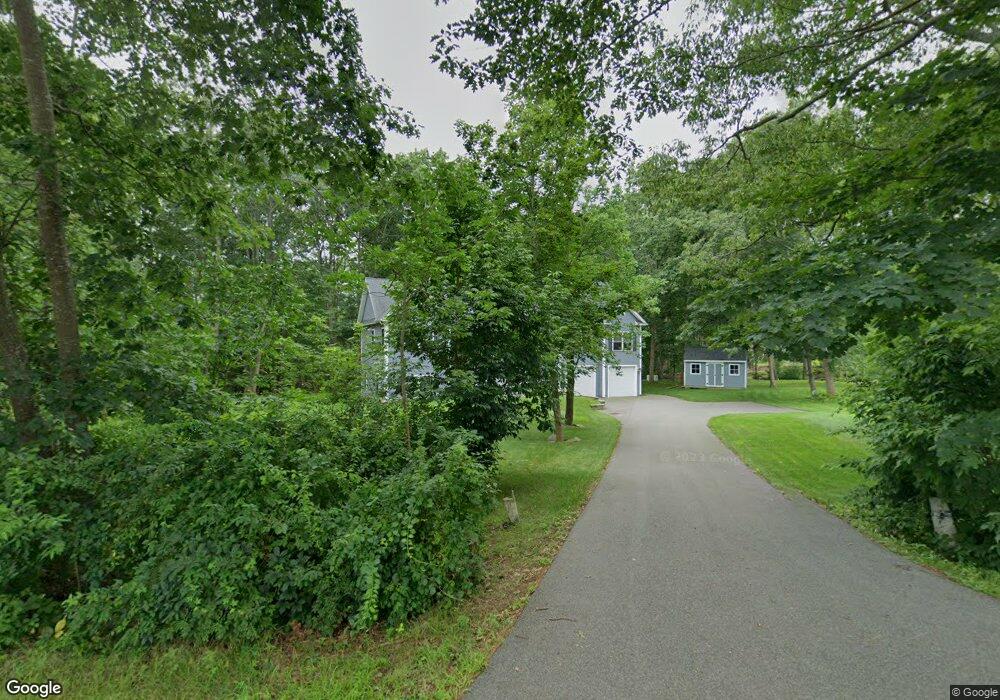
15 Captain Thomas Rd Ogunquit, ME 03907
Ogunquit NeighborhoodEstimated Value: $869,000 - $1,110,000
3
Beds
5
Baths
2,028
Sq Ft
$499/Sq Ft
Est. Value
About This Home
This home is located at 15 Captain Thomas Rd, Ogunquit, ME 03907 and is currently estimated at $1,012,897, approximately $499 per square foot. 15 Captain Thomas Rd is a home with nearby schools including Wells Junior High School, Wells Elementary School, and Wells High School.
Ownership History
Date
Name
Owned For
Owner Type
Purchase Details
Closed on
Feb 1, 2019
Sold by
Johnson Robert J
Bought by
Johnson Robert J and Johnson Robert S
Current Estimated Value
Purchase Details
Closed on
Jun 18, 2015
Sold by
Johnson Diane M and Johnson Robert J
Bought by
Johnson Robert J
Purchase Details
Closed on
Jan 8, 2013
Sold by
Johnson Diane M and Johnson Robert J
Bought by
Johnson Diane M and Johnson Robert J
Purchase Details
Closed on
Apr 17, 2009
Sold by
Littlefield Joseph D
Bought by
Johnson Diane M and Johnson Robert J
Create a Home Valuation Report for This Property
The Home Valuation Report is an in-depth analysis detailing your home's value as well as a comparison with similar homes in the area
Home Values in the Area
Average Home Value in this Area
Purchase History
| Date | Buyer | Sale Price | Title Company |
|---|---|---|---|
| Johnson Robert J | -- | -- | |
| Johnson Robert J | -- | -- | |
| Johnson Diane M | -- | -- | |
| Johnson Diane M | -- | -- |
Source: Public Records
Tax History
| Year | Tax Paid | Tax Assessment Tax Assessment Total Assessment is a certain percentage of the fair market value that is determined by local assessors to be the total taxable value of land and additions on the property. | Land | Improvement |
|---|---|---|---|---|
| 2024 | $4,621 | $715,400 | $244,100 | $471,300 |
| 2023 | $4,621 | $715,400 | $244,100 | $471,300 |
| 2022 | $4,521 | $715,400 | $244,100 | $471,300 |
| 2021 | $4,621 | $567,700 | $140,900 | $426,800 |
| 2020 | $4,542 | $567,700 | $140,900 | $426,800 |
| 2019 | $4,542 | $567,700 | $140,900 | $426,800 |
| 2018 | $4,539 | $573,800 | $147,000 | $426,800 |
| 2017 | $4,349 | $573,800 | $147,000 | $426,800 |
| 2016 | $5,196 | $642,300 | $183,900 | $458,400 |
| 2015 | $5,183 | $642,300 | $183,900 | $458,400 |
| 2014 | $4,984 | $642,300 | $183,900 | $458,400 |
Source: Public Records
Map
Nearby Homes
- 488 Main St Unit 7
- 31 Rebecca Rd
- 22 Adams Ln
- 76 Post Rd Unit 21M
- 9 Bourne Ave Unit B6
- 191 Tatnic Rd Unit 73
- 14 Valleybrook Rd Unit 14
- 168 Ocean Ave
- 25 Shore Rd Unit A
- 20 Shore Rd Unit 2A,B,C,D
- 1 Old County Rd Unit 165
- 1 Old County Rd Unit 155
- 47 Village Green Dr
- 69 Cottage St
- 14 Maple St
- 200 Shore Rd
- 55 Israel Head Rd Unit 203
- 33 Rocky Ln
- 412 Post Rd Unit 304
- 412 Post Rd Unit 145
- 003 Captain Thomas Rd
- 3 Roby's Pond Ln
- 004 Captain Thomas Rd
- Lot 10 Captain Thomas Rd
- 615 Main St
- 23 Captain Thomas Rd
- 152 Ocean St Unit 14
- 152 Ocean St Unit 13
- 152 Ocean St Unit 12
- 152 Ocean St Unit 11
- Lot 3 Captain Thomas Rd
- Lot # 3 Captain Thomas Rd
- 2 Roby's Pond Ln
- 1 Roby's Pond Ln
- TBD Captain Thomas Rd
- TBD Captain Thomas Rd Unit Lot B
- 168 Ocean St Unit 10
- 168 Ocean St Unit 9
- 168 Ocean St Unit 8
- 168 Ocean St Unit 7
Your Personal Tour Guide
Ask me questions while you tour the home.