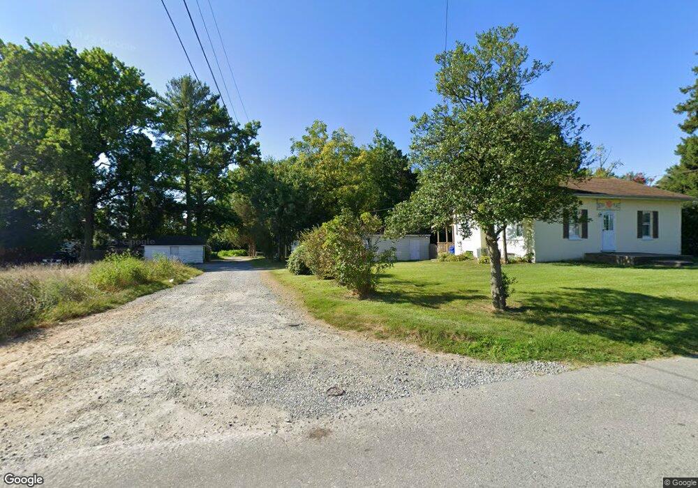
15 Cedar Alley North East, MD 21901
Estimated Value: $237,000 - $321,000
--
Bed
2
Baths
1,582
Sq Ft
$180/Sq Ft
Est. Value
About This Home
This home is located at 15 Cedar Alley, North East, MD 21901 and is currently estimated at $284,834, approximately $180 per square foot. 15 Cedar Alley is a home located in Cecil County with nearby schools including North East Elementary School, North East Middle School, and North East High School.
Ownership History
Date
Name
Owned For
Owner Type
Purchase Details
Closed on
Oct 18, 2018
Sold by
Cedar Alley Llc
Bought by
Emk Investments Lc
Current Estimated Value
Purchase Details
Closed on
Dec 1, 1998
Sold by
Bomba Thomas A
Bought by
Bomba Vincent J
Purchase Details
Closed on
Dec 8, 1997
Sold by
Howard Lowell L and Howard Virginia
Bought by
Bomba Thomas A
Create a Home Valuation Report for This Property
The Home Valuation Report is an in-depth analysis detailing your home's value as well as a comparison with similar homes in the area
Home Values in the Area
Average Home Value in this Area
Purchase History
| Date | Buyer | Sale Price | Title Company |
|---|---|---|---|
| Emk Investments Lc | $352,812 | None Available | |
| Bomba Vincent J | -- | -- | |
| Bomba Thomas A | $300,000 | -- |
Source: Public Records
Mortgage History
| Date | Status | Borrower | Loan Amount |
|---|---|---|---|
| Closed | Bomba Thomas A | -- |
Source: Public Records
Tax History Compared to Growth
Tax History
| Year | Tax Paid | Tax Assessment Tax Assessment Total Assessment is a certain percentage of the fair market value that is determined by local assessors to be the total taxable value of land and additions on the property. | Land | Improvement |
|---|---|---|---|---|
| 2025 | $1,520 | $138,933 | $0 | $0 |
| 2024 | $1,403 | $128,167 | $0 | $0 |
| 2023 | $1,297 | $117,400 | $30,000 | $87,400 |
| 2022 | $1,306 | $115,967 | $0 | $0 |
| 2021 | $1,306 | $114,533 | $0 | $0 |
| 2020 | $1,304 | $113,100 | $30,000 | $83,100 |
| 2019 | $1,260 | $109,200 | $0 | $0 |
| 2018 | $1,215 | $105,300 | $0 | $0 |
| 2017 | $1,119 | $101,400 | $0 | $0 |
| 2016 | $1,118 | $101,400 | $0 | $0 |
| 2015 | $1,118 | $101,400 | $0 | $0 |
| 2014 | $1,332 | $104,000 | $0 | $0 |
Source: Public Records
Map
Nearby Homes
- 0 Pulaski Hwy
- 2515 Pulaski Hwy
- parcel # 66 Rolling Mill Ln
- 51 Hickory Dr
- 15 S Mauldin Ave
- 511 Deans Bank Rd
- 14 Mallory Way Unit WYNDHAM
- 0 Mallory Way Unit MDCC2003990
- 0 Mallory Way Unit MDCC169342
- 62 Rehill Ave
- 162 Razor Strap Rd
- 144 NE Isles Dr Unit 95A
- 57 Falls Rd
- 122 NE Isle Dr
- 653 Mechanics Valley Rd
- 73 NE Isle Dr
- 10 Trail Wood Ct
- 37 NE Isle Dr
- 101 Belvue Rd
- 29 Aspen Dr
- 9 Cedar Alley
- 23 Cedar Alley
- 145 N Main St
- 149 N Main St
- 149 N Main Street Extension
- 153 N Main St
- 149 S Main St
- 153 N Main Street Extension
- 2360 Pulaski Hwy
- 24 Cameron Rd
- 2376 Pulaski Hwy
- 161 N Main Street Extension
- 11 Cedar Hill Cir
- 2400 Pulaski Hwy
- 134 N Main Street Extension
- 2237 Pulaski Hwy
- 177 N Main Street Extension
- 2324 Pulaski Hwy
- 2328 Pulaski Hwy
- 2361 Pulaski Hwy