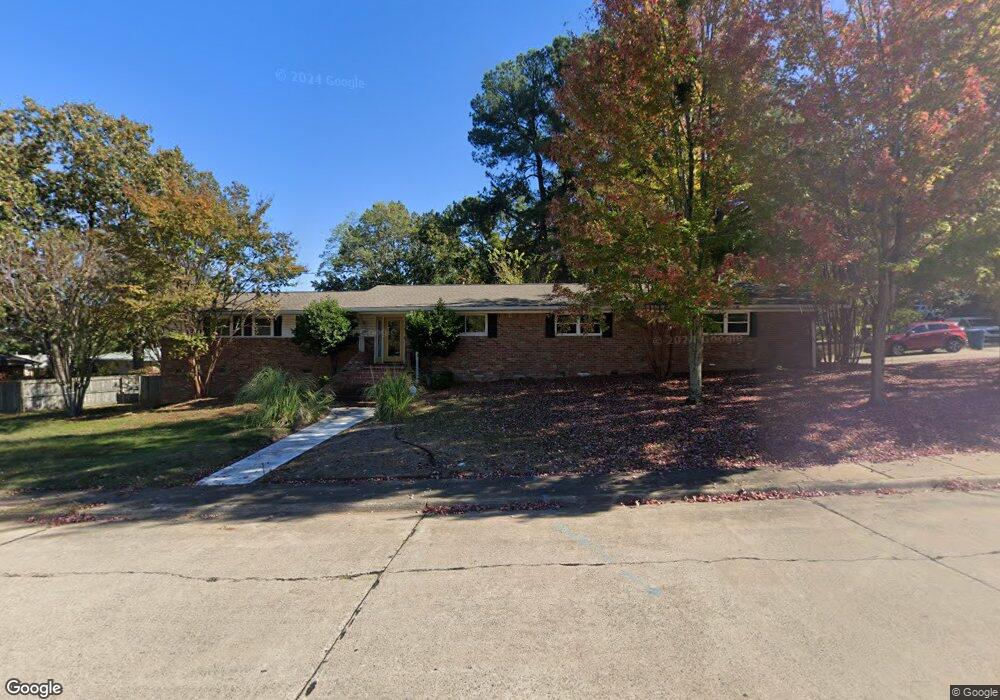
15 Cedar Hill Rd Little Rock, AR 72202
Hillcrest NeighborhoodEstimated Value: $335,000 - $465,000
--
Bed
2
Baths
2,248
Sq Ft
$171/Sq Ft
Est. Value
About This Home
This home is located at 15 Cedar Hill Rd, Little Rock, AR 72202 and is currently estimated at $384,033, approximately $170 per square foot. 15 Cedar Hill Rd is a home located in Pulaski County with nearby schools including Pulaski Heights Elementary School, Pulaski Heights Middle School, and Central High School.
Ownership History
Date
Name
Owned For
Owner Type
Purchase Details
Closed on
Feb 9, 2004
Sold by
Metropolitan National Bank
Bought by
Farrell Thomas J
Current Estimated Value
Home Financials for this Owner
Home Financials are based on the most recent Mortgage that was taken out on this home.
Original Mortgage
$100,000
Interest Rate
5.88%
Mortgage Type
Purchase Money Mortgage
Create a Home Valuation Report for This Property
The Home Valuation Report is an in-depth analysis detailing your home's value as well as a comparison with similar homes in the area
Home Values in the Area
Average Home Value in this Area
Purchase History
| Date | Buyer | Sale Price | Title Company |
|---|---|---|---|
| Farrell Thomas J | $138,333 | The Title Company |
Source: Public Records
Mortgage History
| Date | Status | Borrower | Loan Amount |
|---|---|---|---|
| Previous Owner | Farrell Thomas J | $100,000 |
Source: Public Records
Tax History Compared to Growth
Tax History
| Year | Tax Paid | Tax Assessment Tax Assessment Total Assessment is a certain percentage of the fair market value that is determined by local assessors to be the total taxable value of land and additions on the property. | Land | Improvement |
|---|---|---|---|---|
| 2025 | $4,259 | $60,837 | $10,000 | $50,837 |
| 2024 | $4,259 | $60,837 | $10,000 | $50,837 |
| 2023 | $4,259 | $60,837 | $10,000 | $50,837 |
| 2022 | $3,950 | $60,837 | $10,000 | $50,837 |
| 2021 | $3,617 | $51,300 | $7,500 | $43,800 |
| 2020 | $3,591 | $51,300 | $7,500 | $43,800 |
| 2019 | $3,591 | $51,300 | $7,500 | $43,800 |
| 2018 | $3,591 | $51,300 | $7,500 | $43,800 |
| 2017 | $3,272 | $51,300 | $7,500 | $43,800 |
| 2016 | $2,975 | $52,920 | $5,000 | $47,920 |
| 2015 | $2,384 | $39,663 | $5,000 | $34,663 |
| 2014 | $2,384 | $34,003 | $5,000 | $29,003 |
Source: Public Records
Map
Nearby Homes
- 3612 Oakwood Rd
- 3901 Cedar Hill Rd
- 3500 Cedar Hill Rd
- 3901 Cedar Hill #23 Rd
- 921 Midland St
- 3700 Cantrell Road #1002
- 3700 Cantrell Rd
- 621 N Pine St
- 4009 Kenyon Dr
- 518 N Oak St
- 516 N Oak St
- 131 Fairview Rd
- 505 N Valentine St
- 314 N Walnut St
- 2423 Kavanaugh Blvd Unit 4
- 2501 Kavanaugh Blvd
- 4119 Lee Ave
- 1 Riverbend Rd Unit S8
- 206 Linwood Ct
- 3 Cedar Hill Cir
- 4 Oakhurst Dr
- 6 Oakhurst Dr
- 19 Cedar Hill Rd
- 8 Oakhurst Dr
- 5 Cedar Hill Cir
- 7 Cedar Hill Rd
- 10 Oakhurst Dr
- 3 Oakhurst Dr
- 0 Oakhurst Dr
- 3425 Cedar Hill Rd
- 5 Oakhurst Dr
- 3625 Cedar Hill Rd
- 7 Oakhurst Dr
- 9 Oakhurst Dr
- 11 Oakhurst Dr
- 2 Oakwood Rd
- 4 Oakwood Rd
- 0 Cedar Hill #7 & Unit 8 20024526
- 3608 Oakwood Rd