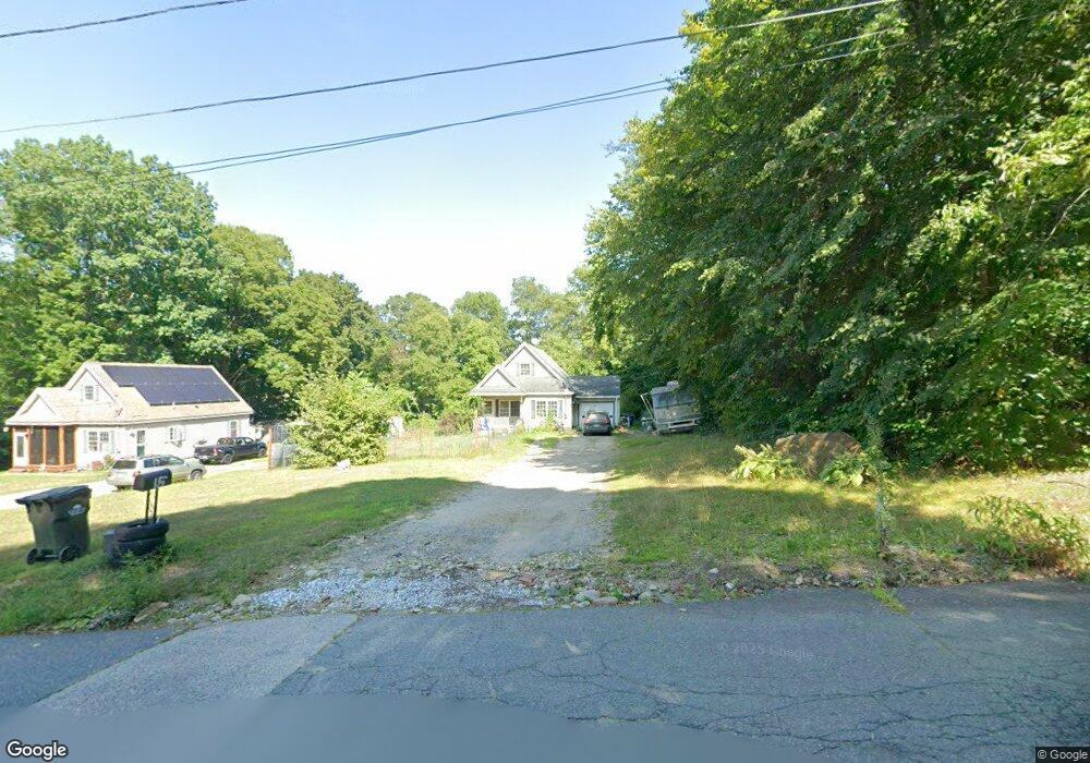
15 Chase St Orange, MA 01364
Estimated Value: $273,000 - $385,000
3
Beds
2
Baths
1,142
Sq Ft
$297/Sq Ft
Est. Value
About This Home
This home is located at 15 Chase St, Orange, MA 01364 and is currently estimated at $339,351, approximately $297 per square foot. 15 Chase St is a home located in Franklin County with nearby schools including Fisher Hill and Ralph C Mahar Regional School.
Ownership History
Date
Name
Owned For
Owner Type
Purchase Details
Closed on
Sep 20, 2010
Sold by
Fnma
Bought by
Gunn Scott F
Current Estimated Value
Home Financials for this Owner
Home Financials are based on the most recent Mortgage that was taken out on this home.
Original Mortgage
$119,900
Outstanding Balance
$79,455
Interest Rate
4.51%
Mortgage Type
Purchase Money Mortgage
Estimated Equity
$259,896
Purchase Details
Closed on
Mar 17, 2010
Sold by
Mazza Samantha L
Bought by
Federal National Mortgage Association
Purchase Details
Closed on
Mar 29, 2006
Sold by
Barnes Debra M
Bought by
Donais Roger P and Mazza Samantha L
Home Financials for this Owner
Home Financials are based on the most recent Mortgage that was taken out on this home.
Original Mortgage
$193,000
Interest Rate
6.32%
Mortgage Type
Purchase Money Mortgage
Create a Home Valuation Report for This Property
The Home Valuation Report is an in-depth analysis detailing your home's value as well as a comparison with similar homes in the area
Home Values in the Area
Average Home Value in this Area
Purchase History
| Date | Buyer | Sale Price | Title Company |
|---|---|---|---|
| Gunn Scott F | $119,900 | -- | |
| Federal National Mortgage Association | $160,398 | -- | |
| Donais Roger P | $193,000 | -- |
Source: Public Records
Mortgage History
| Date | Status | Borrower | Loan Amount |
|---|---|---|---|
| Open | Gunn Scott F | $119,900 | |
| Previous Owner | Donais Roger P | $193,000 |
Source: Public Records
Tax History
| Year | Tax Paid | Tax Assessment Tax Assessment Total Assessment is a certain percentage of the fair market value that is determined by local assessors to be the total taxable value of land and additions on the property. | Land | Improvement |
|---|---|---|---|---|
| 2025 | $55 | $333,000 | $31,000 | $302,000 |
| 2024 | $4,341 | $248,900 | $31,000 | $217,900 |
| 2023 | $3,486 | $194,100 | $27,900 | $166,200 |
| 2022 | $3,589 | $187,700 | $27,900 | $159,800 |
| 2021 | $3,633 | $181,200 | $46,200 | $135,000 |
| 2020 | $3,574 | $175,800 | $42,100 | $133,700 |
| 2019 | $3,470 | $154,100 | $36,400 | $117,700 |
| 2018 | $3,302 | $150,500 | $34,000 | $116,500 |
| 2017 | $3,195 | $150,500 | $34,000 | $116,500 |
| 2016 | $3,016 | $139,000 | $30,400 | $108,600 |
| 2015 | $2,949 | $142,000 | $32,400 | $109,600 |
| 2014 | $2,847 | $144,200 | $32,400 | $111,800 |
Source: Public Records
Map
Nearby Homes
- 222 W River St
- 83 W Main St
- 12-14 E Main St
- 166-168 W Main St
- 39 Terrace St
- 35 Ball St
- 36 Summit St Unit A
- 36 Summit St Unit B
- 50 E Main St
- 58 E Main St
- 56 Shelter St
- 270 S Main St
- 23 E Howe St
- 490 S Main St
- 216 Holtshire Rd
- 00 S Main St
- 000 S Main St
- 246 Holtshire Rd Unit Lot 3
- 0 Quabbin Blvd
- 549 E Main St
Your Personal Tour Guide
Ask me questions while you tour the home.