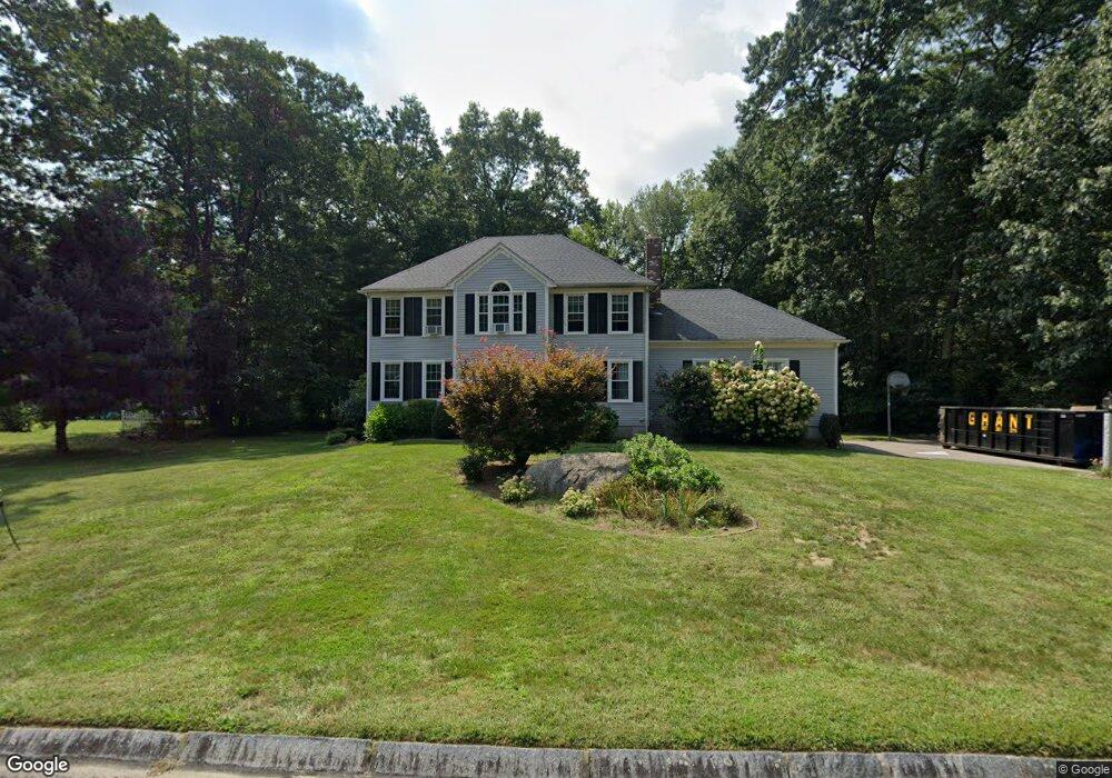
15 Cherie Ln Franklin, MA 02038
Estimated Value: $907,927 - $1,012,000
4
Beds
3
Baths
2,650
Sq Ft
$360/Sq Ft
Est. Value
About This Home
This home is located at 15 Cherie Ln, Franklin, MA 02038 and is currently estimated at $953,232, approximately $359 per square foot. 15 Cherie Ln is a home located in Norfolk County with nearby schools including John F. Kennedy Memorial School, Horace Mann Middle School, and Franklin High School.
Ownership History
Date
Name
Owned For
Owner Type
Purchase Details
Closed on
May 14, 2004
Sold by
Shea Michael B and Shea Randi C
Bought by
Daly Deborah A and Daly James G
Current Estimated Value
Home Financials for this Owner
Home Financials are based on the most recent Mortgage that was taken out on this home.
Original Mortgage
$404,900
Interest Rate
5.47%
Mortgage Type
Purchase Money Mortgage
Purchase Details
Closed on
May 23, 2003
Sold by
Devine Barbara H and Devine Thomas A
Bought by
Shea Michael D and Shea Randi G
Home Financials for this Owner
Home Financials are based on the most recent Mortgage that was taken out on this home.
Original Mortgage
$388,000
Interest Rate
5.86%
Mortgage Type
Purchase Money Mortgage
Purchase Details
Closed on
Nov 30, 1993
Sold by
Oakwoods Constr Co Inc
Bought by
Devine Thomas A and Devine Barbara H
Create a Home Valuation Report for This Property
The Home Valuation Report is an in-depth analysis detailing your home's value as well as a comparison with similar homes in the area
Purchase History
We collect this data history from publicly available records. To have your information removed, we recommend requesting removal directly through your county’s website.
| Date | Buyer | Sale Price | Title Company |
|---|---|---|---|
| Daly Deborah A | $539,900 | -- | |
| Shea Michael D | $485,000 | -- | |
| Devine Thomas A | $232,286 | -- |
Source: Public Records
Mortgage History
We collect this data history from publicly available records. To have your information removed, we recommend requesting removal directly through your county’s website.
| Date | Status | Borrower | Loan Amount |
|---|---|---|---|
| Open | Devine Thomas A | $371,000 | |
| Closed | Devine Thomas A | $385,000 | |
| Closed | Daly Deborah A | $404,900 | |
| Closed | Daly Deborah A | $110,000 | |
| Previous Owner | Shea Michael D | $388,000 | |
| Previous Owner | Devine Thomas A | $250,000 |
Source: Public Records
Tax History
| Year | Tax Paid | Tax Assessment Tax Assessment Total Assessment is a certain percentage of the fair market value that is determined by local assessors to be the total taxable value of land and additions on the property. | Land | Improvement |
|---|---|---|---|---|
| 2025 | $9,205 | $792,200 | $361,200 | $431,000 |
| 2024 | $9,460 | $802,400 | $361,200 | $441,200 |
| 2023 | $8,977 | $713,600 | $345,200 | $368,400 |
| 2022 | $8,336 | $593,300 | $267,600 | $325,700 |
| 2021 | $7,864 | $536,800 | $258,200 | $278,600 |
| 2020 | $7,634 | $526,100 | $260,800 | $265,300 |
| 2019 | $7,402 | $504,900 | $239,900 | $265,000 |
| 2018 | $7,199 | $491,400 | $253,000 | $238,400 |
| 2017 | $7,278 | $499,200 | $260,800 | $238,400 |
| 2016 | $6,957 | $479,800 | $240,200 | $239,600 |
| 2015 | $6,779 | $456,800 | $217,200 | $239,600 |
| 2014 | $6,481 | $448,500 | $208,900 | $239,600 |
Source: Public Records
Map
Nearby Homes
- 18 Anchorage Rd
- 41 Kimberlee Ave
- 6 Teresa Cir
- 90 Oliver Pond Cir Unit 43
- 89 Oliver Pond Cir Unit 4
- 81 Oliver Pond Cir Unit 8
- 77 Oliver Pond Cir Unit 10
- 7 Maple Brook Ln
- 10 Charles River Rd
- 6 Edmunds Way
- 10 Cooper Dr
- 14 Sanford St Unit 66
- 14 Sanford St Unit 61
- 6 Lena Cir
- 4 Fuller Place
- 394 Village St
- 120 Village St Unit A
- 118 Village St Unit A
- 20 Broad St Unit 1
- 20 Broad St Unit 5
Your Personal Tour Guide
Ask me questions while you tour the home.