15 Coal Mine Ln Great Falls, MT 59405
Estimated Value: $200,547 - $239,000
2
Beds
1
Bath
1,015
Sq Ft
$213/Sq Ft
Est. Value
About This Home
This home is located at 15 Coal Mine Ln, Great Falls, MT 59405 and is currently estimated at $216,516, approximately $213 per square foot. 15 Coal Mine Ln is a home located in Cascade County with nearby schools including Cascade High School.
Ownership History
Date
Name
Owned For
Owner Type
Purchase Details
Closed on
May 8, 2014
Sold by
Aasal Margaret E and Neal Margaret Ella
Bought by
Aasal Margaret E and Aasal Robert G
Current Estimated Value
Home Financials for this Owner
Home Financials are based on the most recent Mortgage that was taken out on this home.
Original Mortgage
$76,200
Interest Rate
4.35%
Mortgage Type
New Conventional
Create a Home Valuation Report for This Property
The Home Valuation Report is an in-depth analysis detailing your home's value as well as a comparison with similar homes in the area
Home Values in the Area
Average Home Value in this Area
Purchase History
| Date | Buyer | Sale Price | Title Company |
|---|---|---|---|
| Aasal Margaret E | -- | First American Title Company |
Source: Public Records
Mortgage History
| Date | Status | Borrower | Loan Amount |
|---|---|---|---|
| Closed | Aasal Margaret E | $76,200 |
Source: Public Records
Tax History Compared to Growth
Tax History
| Year | Tax Paid | Tax Assessment Tax Assessment Total Assessment is a certain percentage of the fair market value that is determined by local assessors to be the total taxable value of land and additions on the property. | Land | Improvement |
|---|---|---|---|---|
| 2025 | $385 | $192,100 | $0 | $0 |
| 2024 | $448 | $175,700 | $0 | $0 |
| 2023 | $1,393 | $175,700 | $0 | $0 |
| 2022 | $1,153 | $123,500 | $0 | $0 |
| 2021 | $935 | $123,500 | $0 | $0 |
| 2020 | $1,058 | $107,100 | $0 | $0 |
| 2019 | $1,086 | $107,100 | $0 | $0 |
| 2018 | $870 | $75,400 | $0 | $0 |
| 2017 | $887 | $75,400 | $0 | $0 |
| 2016 | $863 | $70,300 | $0 | $0 |
| 2015 | $593 | $70,300 | $0 | $0 |
| 2014 | $884 | $41,235 | $0 | $0 |
Source: Public Records
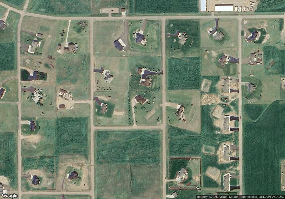
Map
Nearby Homes
- 21 Caragana Rd
- 21 Millegan Rd
- TBD Luebbe Rd
- 201 W Ulm Rd
- Lot 4 Hamilton Place
- LOT 3 Hamilton Place
- Nhn Comer Hill Rd
- 0 Tbd Comer Hill Rd Unit LotWP001
- 301 Airport Bench Rd
- 291 Airport Bench Rd
- 164 Whitetail Ln
- 55 Leo Ln
- TBD Scorpio Dr
- 127 Leo Ln
- 58 Prairie Dog Ln
- 88 Marmot Ln
- 202 Woodland Estates Rd
- 174 Woodland Estates Rd
- 6001 Vigilante Ln
- TBD 47th Ave SW
- 9 Coal Mine Ln
- 11 Coal Mine Ln
- 13 Coal Mine Ln
- 21 Coal Mine Ln
- 19 Coal Mine Ln
- 25 Coal Mine Ln
- 32 Coal Mine Ln
- 24 Coal Mine Ln
- 18 Coal Mine Ln
- 16 Coal Mine Ln
- 14 Coal Mine Ln
- 10 Coal Mine Ln
- 8 Coal Mine Ln
- 6 Collins Rd
- 16 Collins Rd
- 50 Ulm Vaughn Rd
- 2 Butte View Dr
- 32 Collins Rd
- 48 Ulm Vaughn Rd
- 3 Butte Dr