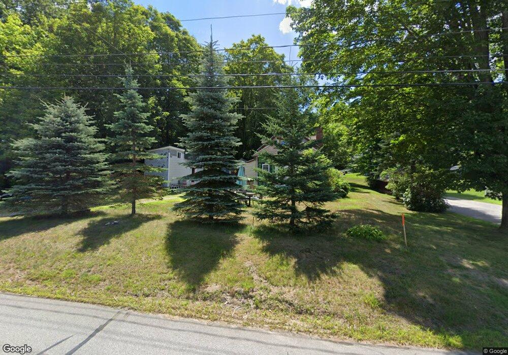
15 Collins St Ashland, NH 03217
Estimated Value: $268,000 - $355,000
2
Beds
1
Bath
1,235
Sq Ft
$247/Sq Ft
Est. Value
About This Home
This home is located at 15 Collins St, Ashland, NH 03217 and is currently estimated at $304,479, approximately $246 per square foot. 15 Collins St is a home located in Grafton County with nearby schools including Ashland Elementary School and Plymouth Regional High School.
Ownership History
Date
Name
Owned For
Owner Type
Purchase Details
Closed on
Aug 11, 2025
Sold by
Cumings Casey
Bought by
Santiago Jonah S
Current Estimated Value
Purchase Details
Closed on
Aug 4, 2009
Sold by
Deutsche Bank Natl T C
Bought by
Cumings Abigail and Cumings Thomas
Purchase Details
Closed on
Feb 26, 2008
Sold by
Mcguirk Erica and Deutsche Bank Natl T C
Bought by
Deutsche Bank Natl T C
Purchase Details
Closed on
Jul 7, 2004
Sold by
Keith Vicki A
Bought by
Mcguirk James and Mcguirk Erica
Home Financials for this Owner
Home Financials are based on the most recent Mortgage that was taken out on this home.
Original Mortgage
$95,920
Interest Rate
6.32%
Mortgage Type
Purchase Money Mortgage
Create a Home Valuation Report for This Property
The Home Valuation Report is an in-depth analysis detailing your home's value as well as a comparison with similar homes in the area
Purchase History
| Date | Buyer | Sale Price | Title Company |
|---|---|---|---|
| Santiago Jonah S | -- | -- | |
| Santiago Jonah S | -- | -- | |
| Santiago Jonah S | -- | -- | |
| Cumings Abigail | $51,000 | -- | |
| Cumings Abigail | $51,000 | -- | |
| Deutsche Bank Natl T C | $137,700 | -- | |
| Deutsche Bank Natl T C | $137,700 | -- | |
| Mcguirk James | $119,900 | -- | |
| Mcguirk James | $119,900 | -- |
Source: Public Records
Mortgage History
| Date | Status | Borrower | Loan Amount |
|---|---|---|---|
| Previous Owner | Mcguirk James | $95,920 |
Source: Public Records
Tax History
| Year | Tax Paid | Tax Assessment Tax Assessment Total Assessment is a certain percentage of the fair market value that is determined by local assessors to be the total taxable value of land and additions on the property. | Land | Improvement |
|---|---|---|---|---|
| 2024 | $3,665 | $199,320 | $93,600 | $105,720 |
| 2023 | $3,450 | $199,420 | $93,600 | $105,820 |
| 2022 | $3,129 | $112,270 | $39,000 | $73,270 |
| 2021 | $3,106 | $113,070 | $39,000 | $74,070 |
| 2020 | $3,231 | $113,640 | $39,000 | $74,640 |
| 2019 | $3,176 | $113,640 | $39,000 | $74,640 |
| 2018 | $3,044 | $113,640 | $39,000 | $74,640 |
| 2016 | $2,464 | $101,100 | $31,900 | $69,200 |
| 2015 | $2,524 | $101,100 | $31,900 | $69,200 |
| 2013 | $2,540 | $101,100 | $31,900 | $69,200 |
Source: Public Records
Map
Nearby Homes
- 40 Highland St
- 121 Riverside Dr
- 283 River St
- 0 Hicks Hill Rd Unit 5078588
- 11 Sebec Rd
- 13 Pine Arden Dr Unit 70
- 93 High Country Way Unit (aka Unit 42)
- 7 Ledges Rd Unit (aka Unit 79)
- 34 Upper Meadows Rd Unit (aka Unit 85)
- 265 High Country Way Unit 116
- 206 High Country Way Unit (aka Unit 100)
- 14 Cummings Hill Rd
- 793 Texas Hill Rd
- 1850 Dick Brown Rd
- 373 New Hampshire Route 175
- 0 Texas Hill Rd Unit 2
- 00 Texas Hill Rd Unit 59
- 0 Texas Hill Rd Unit 1
- 88 Perch Pond Rd
- Lot 22 Ski Lift Ln
Your Personal Tour Guide
Ask me questions while you tour the home.