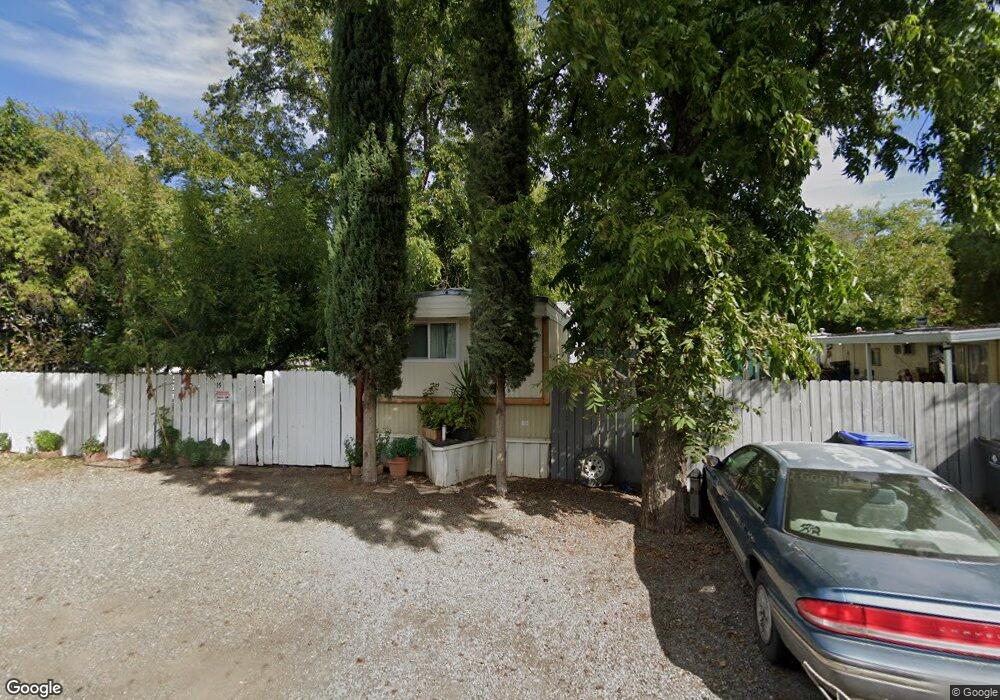
15 Colony Rd Red Bluff, CA 96080
Estimated Value: $188,512 - $268,000
2
Beds
1
Bath
1,292
Sq Ft
$187/Sq Ft
Est. Value
About This Home
This home is located at 15 Colony Rd, Red Bluff, CA 96080 and is currently estimated at $242,128, approximately $187 per square foot. 15 Colony Rd is a home located in Tehama County with nearby schools including Antelope Elementary School, Berrendos Middle School, and Red Bluff High School.
Ownership History
Date
Name
Owned For
Owner Type
Purchase Details
Closed on
Jun 22, 2010
Sold by
Gateway Park Llc
Bought by
Rasncc Holdings Llc Red Bluff Ltd Series
Current Estimated Value
Home Financials for this Owner
Home Financials are based on the most recent Mortgage that was taken out on this home.
Original Mortgage
$71,665
Interest Rate
4.48%
Mortgage Type
Seller Take Back
Purchase Details
Closed on
Jan 6, 2004
Sold by
Chung Roger and Chung Eda Lee
Bought by
Matthews V M
Home Financials for this Owner
Home Financials are based on the most recent Mortgage that was taken out on this home.
Original Mortgage
$215,000
Interest Rate
5.8%
Mortgage Type
Purchase Money Mortgage
Create a Home Valuation Report for This Property
The Home Valuation Report is an in-depth analysis detailing your home's value as well as a comparison with similar homes in the area
Home Values in the Area
Average Home Value in this Area
Purchase History
| Date | Buyer | Sale Price | Title Company |
|---|---|---|---|
| Rasncc Holdings Llc Red Bluff Ltd Series | -- | Old Republic Title Company | |
| Gateway Park Llc | -- | Old Republic Title Company | |
| Matthews V M | -- | Northern California Title Co |
Source: Public Records
Mortgage History
| Date | Status | Borrower | Loan Amount |
|---|---|---|---|
| Previous Owner | Rasncc Holdings Llc Red Bluff Ltd Series | $71,665 | |
| Previous Owner | Matthews V M | $215,000 |
Source: Public Records
Tax History Compared to Growth
Tax History
| Year | Tax Paid | Tax Assessment Tax Assessment Total Assessment is a certain percentage of the fair market value that is determined by local assessors to be the total taxable value of land and additions on the property. | Land | Improvement |
|---|---|---|---|---|
| 2025 | $895 | $87,620 | $45,476 | $42,144 |
| 2023 | $883 | $84,219 | $43,711 | $40,508 |
| 2022 | $859 | $82,568 | $42,854 | $39,714 |
| 2021 | $844 | $80,950 | $42,014 | $38,936 |
| 2020 | $844 | $80,121 | $41,584 | $38,537 |
| 2019 | $840 | $78,551 | $40,769 | $37,782 |
| 2018 | $802 | $77,012 | $39,970 | $37,042 |
| 2017 | $809 | $75,503 | $39,187 | $36,316 |
| 2016 | $756 | $74,023 | $38,419 | $35,604 |
| 2015 | -- | $72,912 | $37,842 | $35,070 |
| 2014 | $734 | $71,485 | $37,101 | $34,384 |
Source: Public Records
Map
Nearby Homes
- 94 Mulberry Ave
- 321 Antelope Blvd
- 75 Sherman Dr
- 113 Sherman Dr
- 5 Gurnsey Ave
- 210 Sunset St
- 85 Kimick Way
- 125 Kimick Way
- 505 Berrendos Ave
- 282 Pinon Way
- 419 Berrendos Ave
- 216 Aspen Way
- 13550 Trinity Ave
- 130 Gilmore Rd
- 55 Mina Ave
- 300 Agua Verdi Dr
- 350 Gilmore Rd
- 350 Gilmore Rd Unit 41
- 710 Center Ave
- 85 Howell Ave
- 505 Antelope Blvd
- 515 Antelope Blvd
- 20 Colony Rd
- 10 Colony Rd
- 515 Wiltsey Ave
- 523 Wiltsey Ave
- 525 Wiltsey Ave
- 505 Wiltsey Ave
- 486 Wiltsey Ave
- 535 Wiltsey Ave
- 488 Wiltsey Ave
- 495 1/2 Wiltsey Ave
- 495 Wiltsey Rd Unit 495 1/2 WILTSEY RD
- 73 Dale Ave
- 484 Wiltsey Ave
- 482 Wiltsey Ave
- 482 Wiltsey Rd
- 77 Dale Ave
- 553 1/2 Wiltsey Ave
- 553 Wiltsey Rd