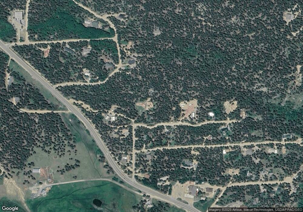
15 Conestoga Rd Black Hawk, CO 80422
Estimated Value: $553,000 - $694,000
3
Beds
2
Baths
2,330
Sq Ft
$265/Sq Ft
Est. Value
About This Home
This home is located at 15 Conestoga Rd, Black Hawk, CO 80422 and is currently estimated at $617,441, approximately $264 per square foot. 15 Conestoga Rd is a home located in Gilpin County with nearby schools including Nederland Elementary School and Nederland Middle-Senior High School.
Ownership History
Date
Name
Owned For
Owner Type
Purchase Details
Closed on
Mar 12, 2021
Sold by
Graham John R and Graham Suzanne D
Bought by
Graham John Robert and Graham Suzanne D
Current Estimated Value
Home Financials for this Owner
Home Financials are based on the most recent Mortgage that was taken out on this home.
Original Mortgage
$243,000
Interest Rate
2.73%
Mortgage Type
New Conventional
Create a Home Valuation Report for This Property
The Home Valuation Report is an in-depth analysis detailing your home's value as well as a comparison with similar homes in the area
Home Values in the Area
Average Home Value in this Area
Purchase History
| Date | Buyer | Sale Price | Title Company |
|---|---|---|---|
| Graham John Robert | -- | First American Title |
Source: Public Records
Mortgage History
| Date | Status | Borrower | Loan Amount |
|---|---|---|---|
| Closed | Graham John Robert | $243,000 |
Source: Public Records
Tax History Compared to Growth
Tax History
| Year | Tax Paid | Tax Assessment Tax Assessment Total Assessment is a certain percentage of the fair market value that is determined by local assessors to be the total taxable value of land and additions on the property. | Land | Improvement |
|---|---|---|---|---|
| 2024 | $1,571 | $30,220 | $3,730 | $26,490 |
| 2023 | $1,571 | $30,220 | $3,730 | $26,490 |
| 2022 | $2,056 | $35,110 | $2,520 | $32,590 |
| 2021 | $2,019 | $36,120 | $2,590 | $33,530 |
| 2020 | $1,430 | $27,550 | $2,590 | $24,960 |
| 2019 | $1,342 | $27,550 | $2,590 | $24,960 |
| 2018 | $1,003 | $22,130 | $2,610 | $19,520 |
| 2017 | $986 | $22,130 | $2,610 | $19,520 |
| 2016 | $1,315 | $27,550 | $3,020 | $24,530 |
| 2015 | -- | $27,550 | $3,020 | $24,530 |
| 2014 | -- | $24,770 | $3,180 | $21,590 |
Source: Public Records
Map
Nearby Homes
- 726 Mountain Meadows Dr
- 16903 Highway 119
- 48 Warren Rd
- 9 Moon Dance Ln
- 423 Mountain Meadows Dr
- 120 Blue Spruce Rd
- 21 Breezewood Ln
- 212 Glen Mawr Dr
- 435 Aspen Rd Unit 117
- 4 Roosevelt Ridge
- 1027 Karlann Dr
- 4 Gap Rd
- 83 Iris Rd
- 591 Creekwood Trail
- 237 Atlantis Dr
- 470 Creekwood Trail
- 208 Venus Rd
- 200 Severance Lodge Rd
- 81 Atlantis Dr
- 41 Damascus Rd
- 50 Wagon Wheel Trail
- 76 Conestoga Rd
- 132 Pine Dr
- 0 Wagon Wheel Trail Unit 567657
- 0 Wagon Wheel Trail Unit 567654
- 0 Wagon Wheel Trail Unit 567651
- 101 Wagon Wheel Trail
- 91 Wagon Wheel Trail
- 142 Pine Dr
- 17372 Highway 119
- 8 Sandau Ln
- 0 Conestoga Rd
- 139 Pine Dr
- 155 Conestoga Rd
- 31 Wagon Wheel Trail
- 182 Pine Dr
- 153 Sandau Ln
- 71 Pine Dr
- 20 Wagon Wheel Trail
- 0 Sandau Lot 22 Ln Unit 958362
