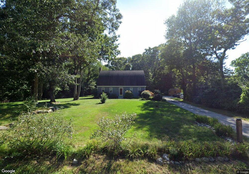
15 Crandall Rd Little Compton, RI 02837
Estimated Value: $798,851 - $1,152,000
3
Beds
3
Baths
2,117
Sq Ft
$439/Sq Ft
Est. Value
About This Home
This home is located at 15 Crandall Rd, Little Compton, RI 02837 and is currently estimated at $928,463, approximately $438 per square foot. 15 Crandall Rd is a home located in Newport County with nearby schools including Wilbur & McMahon School.
Ownership History
Date
Name
Owned For
Owner Type
Purchase Details
Closed on
May 1, 1996
Sold by
Kaminski David and Kaminski Lisa
Bought by
Rapoza Gary F and Rapoza Amanda
Current Estimated Value
Home Financials for this Owner
Home Financials are based on the most recent Mortgage that was taken out on this home.
Original Mortgage
$165,000
Interest Rate
7.82%
Create a Home Valuation Report for This Property
The Home Valuation Report is an in-depth analysis detailing your home's value as well as a comparison with similar homes in the area
Home Values in the Area
Average Home Value in this Area
Purchase History
| Date | Buyer | Sale Price | Title Company |
|---|---|---|---|
| Rapoza Gary F | $180,000 | -- |
Source: Public Records
Mortgage History
| Date | Status | Borrower | Loan Amount |
|---|---|---|---|
| Closed | Rapoza Gary F | $54,400 | |
| Closed | Rapoza Gary F | $24,000 | |
| Open | Rapoza Gary F | $150,000 | |
| Closed | Rapoza Gary F | $165,000 |
Source: Public Records
Tax History Compared to Growth
Tax History
| Year | Tax Paid | Tax Assessment Tax Assessment Total Assessment is a certain percentage of the fair market value that is determined by local assessors to be the total taxable value of land and additions on the property. | Land | Improvement |
|---|---|---|---|---|
| 2025 | $3,116 | $650,600 | $250,700 | $399,900 |
| 2024 | $2,651 | $521,900 | $184,400 | $337,500 |
| 2023 | $2,589 | $521,900 | $184,400 | $337,500 |
| 2022 | $2,557 | $521,900 | $184,400 | $337,500 |
| 2021 | $2,399 | $397,200 | $160,200 | $237,000 |
| 2020 | $2,379 | $397,200 | $160,200 | $237,000 |
| 2019 | $2,355 | $397,200 | $160,200 | $237,000 |
| 2018 | $2,381 | $399,500 | $167,500 | $232,000 |
| 2016 | $2,265 | $399,500 | $167,500 | $232,000 |
| 2015 | $2,334 | $405,900 | $165,500 | $240,400 |
| 2014 | $2,289 | $405,900 | $165,500 | $240,400 |
Source: Public Records
Map
Nearby Homes
- 17 Quail Trail
- 184 Field Stone Ln
- 116 Amy Hart Path
- 90 Two Rod Rd
- 0 S Lake Rd Unit 73361665
- 0 S Lake Rd Unit 1382842
- 0 S Lake Rd Unit 1400795
- 245 John Dyer Rd
- 83 Long Hwy
- 101 Adamsville Rd
- 1346 Main Rd Unit B
- 837 Main Rd
- 255 John Dyer Rd
- 505 Long Hwy
- 8 Village Way
- 15 Village Way
- 7 Village Way
- 978 Sodom Rd
- 1580 Main Rd
- 24 Peaceful Way
- 9 Bramblewood Cross Rd
- 3 Crandall Rd
- 9 Crandall Rd
- 3 Bramblewood Cross Rd
- 6 Bramblewood Cross Rd
- 9 Brookside Ln
- 2 Bramblewood Cross Rd
- 10 Bramblewood Cross Rd
- 14 Bramblewood Cross Rd
- 11 Brookside Ln
- 18 Bramblewood Cross Rd
- 2037 Crandall Rd
- 21 Bramblewood Cross Rd
- 27 Crandall Rd
- 15 Brookside Ln
- 2 Magnolia Way
- 22 Bramblewood Cross Rd
- 31 Crandall Rd
- 2033 Crandall Rd
- 29 Bramblewood Cross Rd