15 Dean St Hudson, MA 01749
Estimated Value: $684,000 - $785,000
4
Beds
3
Baths
2,040
Sq Ft
$363/Sq Ft
Est. Value
About This Home
This home is located at 15 Dean St, Hudson, MA 01749 and is currently estimated at $740,249, approximately $362 per square foot. 15 Dean St is a home located in Middlesex County with nearby schools including David J. Quinn Middle School, Hudson High School, and Darnell School For Educational & Behavioral Service.
Ownership History
Date
Name
Owned For
Owner Type
Purchase Details
Closed on
Jul 30, 1987
Sold by
Perkins John M
Bought by
Resendes Manuel
Current Estimated Value
Home Financials for this Owner
Home Financials are based on the most recent Mortgage that was taken out on this home.
Original Mortgage
$35,000
Interest Rate
10.43%
Mortgage Type
Purchase Money Mortgage
Create a Home Valuation Report for This Property
The Home Valuation Report is an in-depth analysis detailing your home's value as well as a comparison with similar homes in the area
Home Values in the Area
Average Home Value in this Area
Purchase History
| Date | Buyer | Sale Price | Title Company |
|---|---|---|---|
| Resendes Manuel | $157,000 | -- |
Source: Public Records
Mortgage History
| Date | Status | Borrower | Loan Amount |
|---|---|---|---|
| Open | Resendes Manuel | $150,000 | |
| Closed | Resendes Manuel | $35,000 |
Source: Public Records
Tax History Compared to Growth
Tax History
| Year | Tax Paid | Tax Assessment Tax Assessment Total Assessment is a certain percentage of the fair market value that is determined by local assessors to be the total taxable value of land and additions on the property. | Land | Improvement |
|---|---|---|---|---|
| 2025 | $10,191 | $734,200 | $177,300 | $556,900 |
| 2024 | $9,544 | $681,700 | $161,200 | $520,500 |
| 2023 | $8,886 | $608,600 | $155,000 | $453,600 |
| 2022 | $9,053 | $570,800 | $140,800 | $430,000 |
| 2021 | $8,415 | $508,400 | $134,100 | $374,300 |
| 2020 | $8,401 | $505,800 | $131,500 | $374,300 |
| 2019 | $8,082 | $474,600 | $131,500 | $343,100 |
| 2018 | $7,046 | $419,900 | $125,300 | $294,600 |
| 2017 | $7,543 | $431,000 | $119,300 | $311,700 |
| 2016 | $6,811 | $393,900 | $119,300 | $274,600 |
| 2015 | $6,053 | $350,500 | $119,300 | $231,200 |
| 2014 | $5,677 | $325,900 | $104,500 | $221,400 |
Source: Public Records
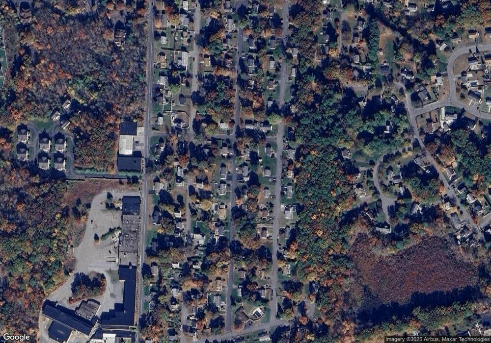
Map
Nearby Homes
- 26 Marychris Dr
- 2 Edith Rd
- 248 Main St Unit 207
- 248 Main St Unit 216
- 28 Pierce St
- 74 Cox St Unit 9
- 425 Main St Unit 11B
- 34 Forest Ave
- 56 Forest Ave
- 11 Barracks Rd Unit 11
- 9 Barracks Rd Unit 9
- 3 Barracks Rd Unit 3
- 7 Barracks Rd Unit 7
- 5 Barracks Rd Unit 5
- 200 Manning St Unit 6C
- 200 Manning St Unit 14B
- 12 Old County Rd
- 12 Old County Rd Unit 20
- 16 Houghton St
- 304 Cox St