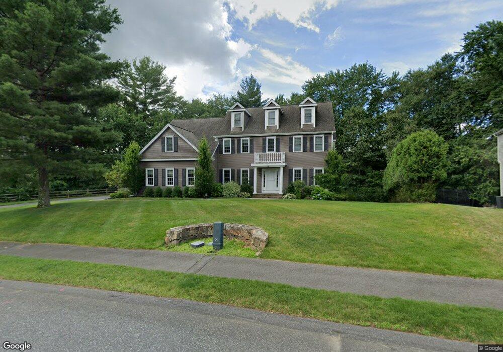
15 Deer Path Unit 28A Natick, MA 01760
Estimated Value: $1,850,000 - $1,998,000
4
Beds
5
Baths
4,510
Sq Ft
$422/Sq Ft
Est. Value
About This Home
This home is located at 15 Deer Path Unit 28A, Natick, MA 01760 and is currently estimated at $1,902,678, approximately $421 per square foot. 15 Deer Path Unit 28A is a home located in Middlesex County with nearby schools including Natick High School, Memorial Elementary School, and J F Kennedy Middle School.
Ownership History
Date
Name
Owned For
Owner Type
Purchase Details
Closed on
Aug 17, 2011
Sold by
Natick Residential Rea
Bought by
Sanctuary Dev Corp
Current Estimated Value
Home Financials for this Owner
Home Financials are based on the most recent Mortgage that was taken out on this home.
Original Mortgage
$93,000
Outstanding Balance
$64,542
Interest Rate
4.62%
Mortgage Type
Purchase Money Mortgage
Estimated Equity
$1,838,136
Create a Home Valuation Report for This Property
The Home Valuation Report is an in-depth analysis detailing your home's value as well as a comparison with similar homes in the area
Home Values in the Area
Average Home Value in this Area
Purchase History
| Date | Buyer | Sale Price | Title Company |
|---|---|---|---|
| Sanctuary Dev Corp | -- | -- |
Source: Public Records
Mortgage History
| Date | Status | Borrower | Loan Amount |
|---|---|---|---|
| Open | Sanctuary Dev Corp | $93,000 | |
| Open | Sanctuary Dev Corp | $744,000 |
Source: Public Records
Tax History Compared to Growth
Tax History
| Year | Tax Paid | Tax Assessment Tax Assessment Total Assessment is a certain percentage of the fair market value that is determined by local assessors to be the total taxable value of land and additions on the property. | Land | Improvement |
|---|---|---|---|---|
| 2025 | $16,146 | $1,350,000 | $409,200 | $940,800 |
| 2024 | $16,551 | $1,350,000 | $409,200 | $940,800 |
| 2023 | $20,170 | $1,595,700 | $654,900 | $940,800 |
| 2022 | $18,981 | $1,422,900 | $543,400 | $879,500 |
| 2021 | $18,231 | $1,339,500 | $517,300 | $822,200 |
| 2020 | $17,964 | $1,319,900 | $497,700 | $822,200 |
| 2019 | $16,776 | $1,319,900 | $497,700 | $822,200 |
| 2018 | $15,580 | $1,193,900 | $478,900 | $715,000 |
| 2017 | $15,744 | $1,167,100 | $465,200 | $701,900 |
| 2016 | $15,748 | $1,160,500 | $465,200 | $695,300 |
| 2015 | $15,134 | $1,095,100 | $465,200 | $629,900 |
Source: Public Records
Map
Nearby Homes
- 5 Deer Path
- 21 Harvest Moon Dr
- 94 Woodland St
- 39 Davis Brook Dr
- 10 Sundance Way
- 48 Graystone Ln
- 16 Wayside Rd Unit 14
- 16 Wayside Rd
- 6 Ambler Ct
- 20 Walcott St
- 216-218 S Main St
- 11 Avon St
- 15 Wyndemere Ln
- 8 Floral Ave Unit 8
- 8 Floral Avenue Extension
- 15 Church St Unit 3
- 48 S Main St Unit 7
- 47 High St
- 15 Penobscot Rd
- 83 Eliot St
- 15 Deer Path Unit Lot 28A
- 15 Deer Path
- Lot 28C Deer Path
- 16 Deer Path
- 14 Deer Path
- 4 Harvest Moon Dr
- 9 Deer Path
- 6 Harvest Moon Dr
- 0 Harvest Moon Dr Unit Lot 27A 70786570
- 27 Harvest Moon Dr
- 18 Deer Path
- 12 Deer Path
- 5 Harvest Moon Dr
- 8 Harvest Moon Dr
- 10 Deer Path
- 7 Harvest Moon Dr
- 10 Harvest Moon Dr
- 9 Morningside Ave
- 7 Deer Path
- 7 Morningside Ave