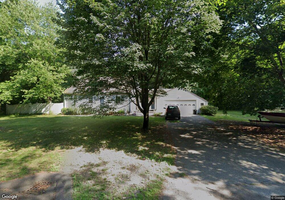
15 Delmor Ave Wilbraham, MA 01095
Estimated Value: $418,069 - $474,000
3
Beds
2
Baths
1,596
Sq Ft
$279/Sq Ft
Est. Value
About This Home
This home is located at 15 Delmor Ave, Wilbraham, MA 01095 and is currently estimated at $446,017, approximately $279 per square foot. 15 Delmor Ave is a home located in Hampden County with nearby schools including Minnechaug Regional High School, Springfield International Charter School, and Wilbraham & Monson Academy.
Ownership History
Date
Name
Owned For
Owner Type
Purchase Details
Closed on
Mar 28, 2002
Sold by
Lamoureux Elizabeth M
Bought by
Sharpe Jayme T and Sharpe Laurie A
Current Estimated Value
Home Financials for this Owner
Home Financials are based on the most recent Mortgage that was taken out on this home.
Original Mortgage
$179,550
Outstanding Balance
$74,804
Interest Rate
6.88%
Mortgage Type
Purchase Money Mortgage
Estimated Equity
$371,213
Purchase Details
Closed on
Dec 16, 1993
Sold by
Johnston Gordon and Johnston Lillian G
Bought by
Lamoureux Elizabeth M
Create a Home Valuation Report for This Property
The Home Valuation Report is an in-depth analysis detailing your home's value as well as a comparison with similar homes in the area
Home Values in the Area
Average Home Value in this Area
Purchase History
| Date | Buyer | Sale Price | Title Company |
|---|---|---|---|
| Sharpe Jayme T | $189,000 | -- | |
| Lamoureux Elizabeth M | $154,900 | -- |
Source: Public Records
Mortgage History
| Date | Status | Borrower | Loan Amount |
|---|---|---|---|
| Open | Lamoureux Elizabeth M | $179,550 | |
| Previous Owner | Lamoureux Elizabeth M | $75,000 | |
| Previous Owner | Lamoureux Elizabeth M | $30,000 |
Source: Public Records
Tax History Compared to Growth
Tax History
| Year | Tax Paid | Tax Assessment Tax Assessment Total Assessment is a certain percentage of the fair market value that is determined by local assessors to be the total taxable value of land and additions on the property. | Land | Improvement |
|---|---|---|---|---|
| 2025 | $6,498 | $363,400 | $102,500 | $260,900 |
| 2024 | $5,883 | $318,000 | $102,500 | $215,500 |
| 2023 | $5,831 | $301,900 | $102,500 | $199,400 |
| 2022 | $5,831 | $284,600 | $102,500 | $182,100 |
| 2021 | $5,616 | $244,600 | $109,600 | $135,000 |
| 2020 | $5,474 | $244,600 | $109,600 | $135,000 |
| 2019 | $5,332 | $244,600 | $109,600 | $135,000 |
| 2018 | $5,189 | $229,200 | $109,600 | $119,600 |
| 2017 | $5,042 | $229,200 | $109,600 | $119,600 |
| 2016 | $5,156 | $238,700 | $121,400 | $117,300 |
| 2015 | $4,984 | $238,700 | $121,400 | $117,300 |
Source: Public Records
Map
Nearby Homes
- 28 Decorie Dr
- 79 High Pine Cir
- 69 High Pine Cir
- 2 Bayberry Dr Unit 51
- 54 High Pine Cir
- 20 Old Orchard Rd
- 35 Lake Dr
- 2 Vista Rd
- 4 Hillcrest Dr
- 8 Patriot Ridge Ln
- 474 Mountain Rd
- 46 Washington Rd
- 474-480 Mountain Rd
- 6 Hilltop Park
- 6 Teak Terrace Unit 24
- 182 Mountain Rd
- 99 Sandalwood Dr Unit site 00
- 103 Sandalwood Dr Unit site 00
- 57 Sandalwood Dr Unit site 61
- 111 Sandalwood Dr Unit site 00
- 15 Delmor Cir
- 7 Delmor Ave
- 19 Delmor Ave
- 2 Country Ln
- 4 Delmor Ave
- 11 Delmor Cir
- 5 Delmor Ave
- 221 Main St Unit C
- 221 Main St Unit 223
- 221 Main St Unit A
- 221 Main St Unit 2
- 221 Main St Unit A
- 221 Main St Unit B
- 16 Delmor Ave
- 12 Delmor Cir
- 9 Delmor Cir
- 9 Delmor Cir Unit 1
- 2 Delmor Ave
- 3 Delmor Ave
- 10 Delmor Cir