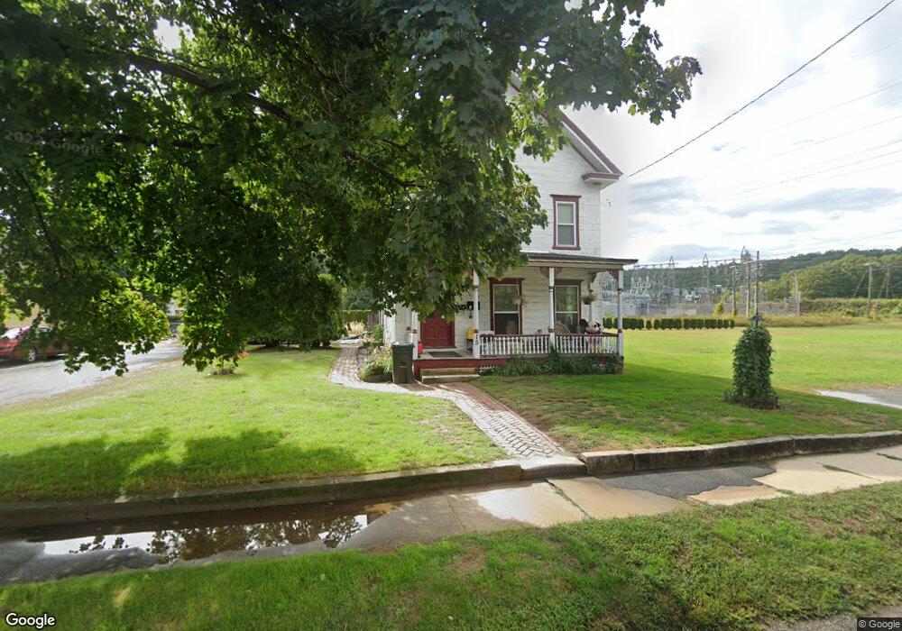
15 Depot St Turners Falls, MA 01376
Estimated Value: $259,876 - $306,000
5
Beds
2
Baths
2,133
Sq Ft
$133/Sq Ft
Est. Value
About This Home
This home is located at 15 Depot St, Turners Falls, MA 01376 and is currently estimated at $284,469, approximately $133 per square foot. 15 Depot St is a home located in Franklin County with nearby schools including Holy Trinity School.
Ownership History
Date
Name
Owned For
Owner Type
Purchase Details
Closed on
Jun 29, 2001
Sold by
Carme Susan C
Bought by
Dobias Michael R
Current Estimated Value
Purchase Details
Closed on
Apr 28, 1994
Sold by
Klaus William B and Zlogar Michael
Bought by
Daniels Exchange T and Mcgill Donna M
Create a Home Valuation Report for This Property
The Home Valuation Report is an in-depth analysis detailing your home's value as well as a comparison with similar homes in the area
Home Values in the Area
Average Home Value in this Area
Purchase History
| Date | Buyer | Sale Price | Title Company |
|---|---|---|---|
| Dobias Michael R | $93,000 | -- | |
| Dobias Michael R | $93,000 | -- | |
| Daniels Exchange T | $138,500 | -- | |
| Daniels Exchange T | $138,500 | -- |
Source: Public Records
Mortgage History
| Date | Status | Borrower | Loan Amount |
|---|---|---|---|
| Open | Daniels Exchange T | $133,500 | |
| Closed | Daniels Exchange T | $85,100 |
Source: Public Records
Tax History Compared to Growth
Tax History
| Year | Tax Paid | Tax Assessment Tax Assessment Total Assessment is a certain percentage of the fair market value that is determined by local assessors to be the total taxable value of land and additions on the property. | Land | Improvement |
|---|---|---|---|---|
| 2025 | $3,372 | $221,700 | $55,500 | $166,200 |
| 2024 | $3,030 | $193,000 | $55,500 | $137,500 |
| 2023 | $2,851 | $182,200 | $55,500 | $126,700 |
| 2022 | $3,191 | $165,600 | $55,500 | $110,100 |
| 2021 | $2,668 | $153,000 | $45,800 | $107,200 |
| 2020 | $3,946 | $146,000 | $45,800 | $100,200 |
| 2019 | $2,405 | $140,400 | $51,300 | $89,100 |
| 2018 | $3,351 | $140,500 | $51,300 | $89,200 |
| 2017 | $2,312 | $138,700 | $51,300 | $87,400 |
| 2016 | $2,384 | $135,400 | $50,100 | $85,300 |
| 2015 | $2,296 | $135,400 | $50,100 | $85,300 |
| 2014 | $2,212 | $135,400 | $50,100 | $85,300 |
Source: Public Records
Map
Nearby Homes
- 93 Maple St
- 109 Montague City Rd
- 10 Tulip Ln
- 2 Orchard St
- 43 Crescent St
- 38 Randall Wood Dr
- 30 Grinnell St
- 0 Marshall St
- 73 Washington St
- 89 Montague St
- 111-113 Deerfield St
- 75 School St
- 335 Federal St
- 227 Deerfield St
- 114 Montague St
- 55 A + B Randall Rd
- 298 Deerfield St
- 35 Shattuck St Unit 37
- 35-37 Shattuck St
- 254 Davis St
- 11 Depot St
- 9 Depot St
- 14 Depot St
- 36 Depot Rd
- 38 Depot St
- 10 Depot St
- 10 Farren Ave
- 4 Depot St
- 12 Farren Ave Unit Floor 3
- 4 Depot St
- 312 Montague City Rd
- 4 Farren Ave
- 306 Montague City Rd
- 308 Montague City Rd
- 304 Montague City Rd
- 7 Burnham St
- 302 Montague City Rd
- 288-29 Montague City Rd
- 2 Solar Ave
- 288 Montague City Rd Unit 290