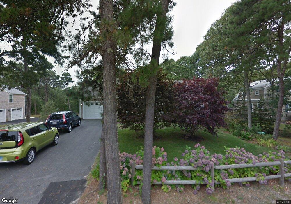
15 Division St Dennis Port, MA 02639
Dennis Port NeighborhoodEstimated Value: $750,000 - $989,000
3
Beds
2
Baths
1,201
Sq Ft
$702/Sq Ft
Est. Value
About This Home
This home is located at 15 Division St, Dennis Port, MA 02639 and is currently estimated at $843,202, approximately $702 per square foot. 15 Division St is a home located in Barnstable County with nearby schools including Dennis-Yarmouth Regional High School and St. Pius X. School.
Ownership History
Date
Name
Owned For
Owner Type
Purchase Details
Closed on
Aug 21, 2019
Sold by
Mcfarland Denise M
Bought by
Mcfarland Ft
Current Estimated Value
Purchase Details
Closed on
Sep 21, 2001
Sold by
Lilley John E and Lilley Tricia M
Bought by
Mcfarland Denise M and Mcfarland Edward M
Purchase Details
Closed on
Feb 2, 1999
Sold by
Em Jewett Ret
Bought by
Lilley John E and Lilley Tricia M
Home Financials for this Owner
Home Financials are based on the most recent Mortgage that was taken out on this home.
Original Mortgage
$129,200
Interest Rate
6.67%
Mortgage Type
Purchase Money Mortgage
Create a Home Valuation Report for This Property
The Home Valuation Report is an in-depth analysis detailing your home's value as well as a comparison with similar homes in the area
Home Values in the Area
Average Home Value in this Area
Purchase History
| Date | Buyer | Sale Price | Title Company |
|---|---|---|---|
| Mcfarland Ft | -- | -- | |
| Mcfarland Denise M | $305,000 | -- | |
| Lilley John E | $161,500 | -- |
Source: Public Records
Mortgage History
| Date | Status | Borrower | Loan Amount |
|---|---|---|---|
| Previous Owner | Lilley John E | $129,200 |
Source: Public Records
Tax History Compared to Growth
Tax History
| Year | Tax Paid | Tax Assessment Tax Assessment Total Assessment is a certain percentage of the fair market value that is determined by local assessors to be the total taxable value of land and additions on the property. | Land | Improvement |
|---|---|---|---|---|
| 2025 | $3,480 | $803,700 | $237,800 | $565,900 |
| 2024 | $3,411 | $777,100 | $228,600 | $548,500 |
| 2023 | $3,300 | $706,600 | $207,900 | $498,700 |
| 2022 | $3,130 | $558,900 | $187,200 | $371,700 |
| 2021 | $2,977 | $493,700 | $183,600 | $310,100 |
| 2020 | $3,120 | $511,500 | $169,400 | $342,100 |
| 2019 | $6,896 | $447,800 | $166,100 | $281,700 |
| 2018 | $2,415 | $380,900 | $171,300 | $209,600 |
| 2017 | $5,973 | $361,000 | $158,100 | $202,900 |
| 2016 | $2,180 | $333,900 | $164,700 | $169,200 |
| 2015 | $2,063 | $322,400 | $164,700 | $157,700 |
| 2014 | $1,922 | $302,700 | $145,000 | $157,700 |
Source: Public Records
Map
Nearby Homes
- 141 Division St
- 141 Division St
- 47 Telegraph Rd Unit 1
- 45 Route 28
- 91 Depot Rd W
- 9 Country Ln
- 9 Bells Neck Rd Unit 10
- 40 Willow St
- 11 Lane Rd
- 73 Division St
- 79 Massachusetts 28
- 12 Candlewood Ln Unit 2-9
- 10 Candlewood Ln Unit 2-1
- 9 Mansion St
- 148 Belmont Rd
- 64 Smith St
- 6 Bayberry Ln
- 12 Cross St
- 78 Upper County Rd Unit A&B
- 78 Upper County Rd
- 197 Division St Unit 4
- 197 Division St Unit 13
- 197 Division St Unit 12
- 197 Division St Unit 10
- 197 Division St Unit 1
- 197 Division St Unit 5
- 197 Division St Unit 14
- 197 Division St Unit 8
- 197 Division St Unit 11
- 197 Division St Unit 6
- 197 Division St
- 197 Division St Unit 2
- 197 Division St Unit 3
- 197 Division St Unit 16
- 197 Division St Unit 9
- 197 Division St Unit 7
- 197 Division St Unit 15
- 201 Division St
- 54 North St
- 2 Carol Ln